
North Carriacou
I headed north and east in the morning, encountering almost no traffic at all on the trip up the coastal road. When it turned from a concrete roadbed to a dirt track, I stopped and opted to turn around.
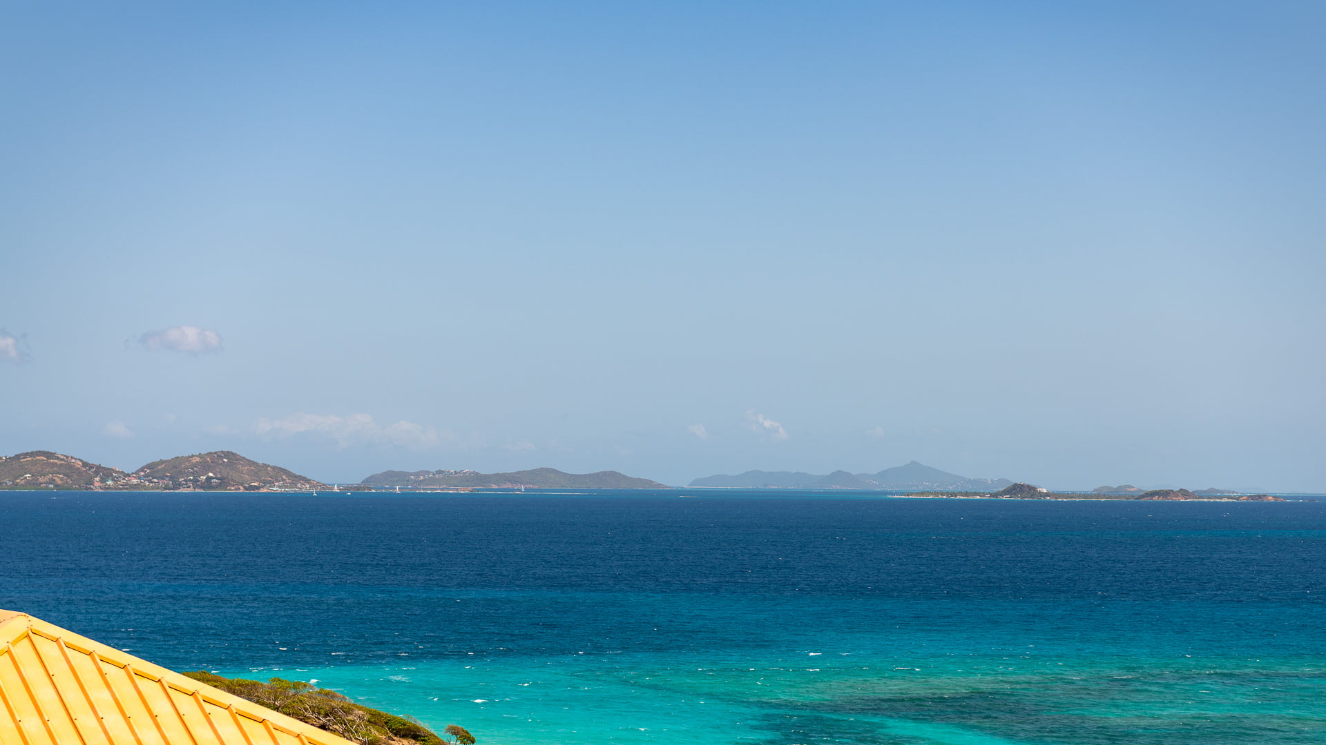
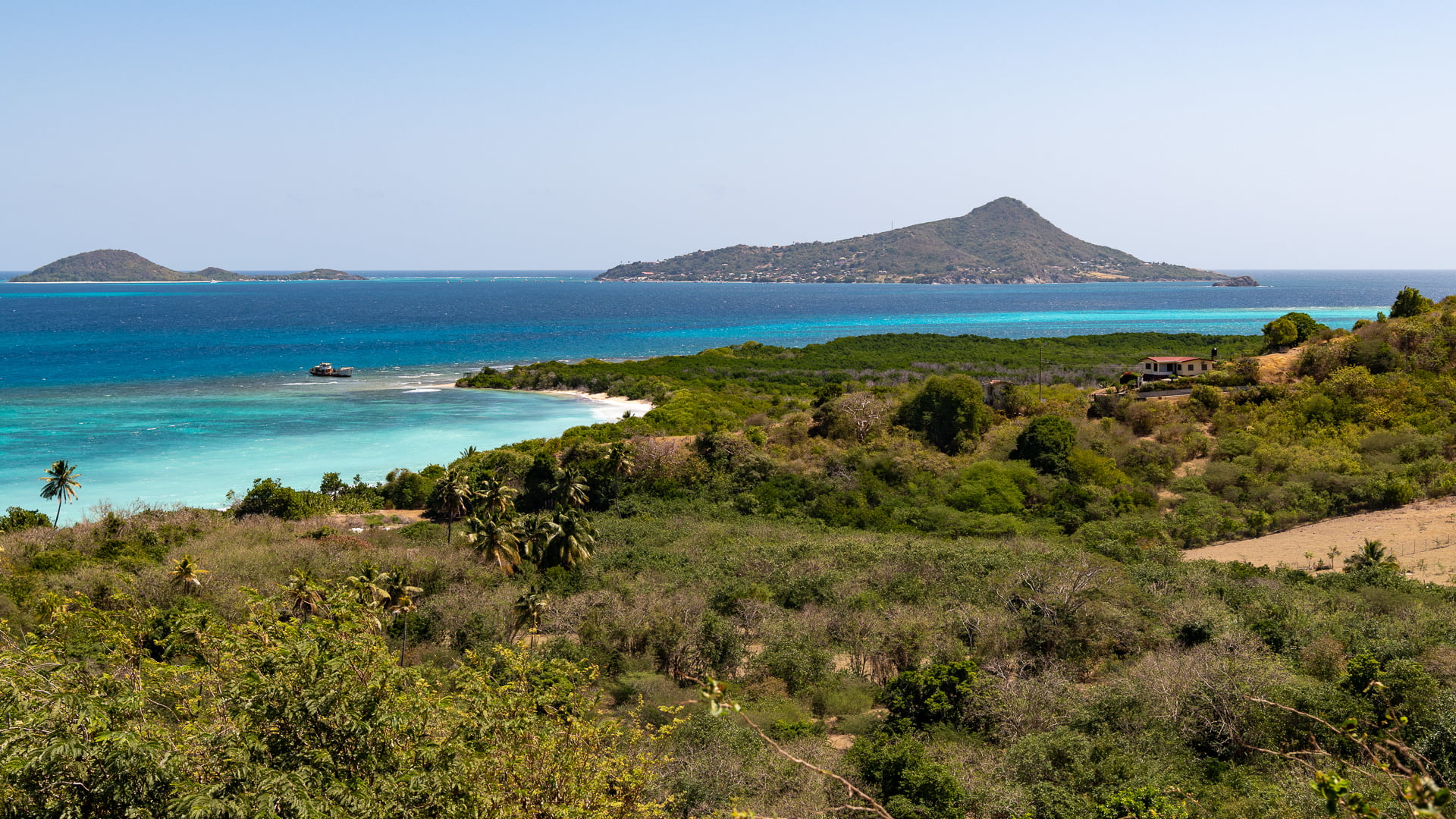
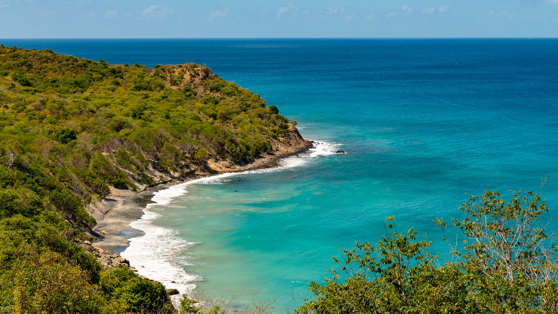
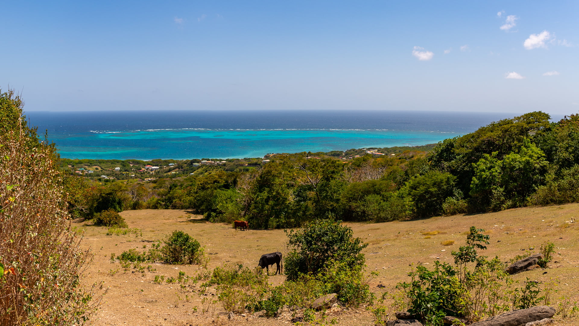
The view of the Grenadines to the north and the reefs surrounding Carriacou is impressive. As I drove back, I chose to stick along the coastline as much as possible. The road got progressively worse and ended up changing into a dirt track. I didn’t know if it would become a dead-end but kept on driving, switching to first gear and avoiding the gullies and rocks (small boulders) strewn along the way.

My Jeep rattled around quite a bit, but overall did a commendable job at staying on track and in one piece. I wasn’t sure how out-of-the-way I was and how far I’d have to walk if something went wrong – but it turned out that the path wasn’t quite as remote as I’d feared.
Passing by some ruins and a “sunken cemetery” that I’d seen in a guidebook, I didn’t stop as I expected to return the same way. But it turned out that the road changed into a paved one again, and led up the hill to eventually merge with a road I’d driven along before.
Sugar Mill
Just below the hospital was an old sugar mill that I’d seen before, but not stopped at. This time I checked it out.