Online Logbook (2011-2023, ~2800nm on Zanshin before that)
See Logbook 2023 – for the currently active page
| Date | Lat & Lon | Location | Start | End | Distance | Comments | Total | |
| 2022/12/31 | 32.29°N 64.79°W | Portsmouth, Dominica | 05:30 | 17:30 | 56.1 | Mix of sailing and motoring slowly at 1200RPM |  | 10,281.3 |
| 2022/12/30 | 14.73°N 61.18°W | St. Pierre, Martinique | 10:30 | 17:00 | 42.7 | Spirited sailing and dead calm on the same day. Limping on engine |  | 10,225.2 |
| 2022/06/22 | 32.29°N 64.79°W | RBYC, Bermuda | 12:30 | 05:00 | 658.4 | Start 17 Jun in Newport for the 2022 Newport-Bermuda Race. |  | 10,182.5 |
| 2022/06/12 | 41.48°N 71.32°W | Newport, Rhode Island, USA | 08:00 | 13:00 | 24.81 | Arrived at Newport Yachting Center Docks, Newport |  | 9524.1 |
| 2022/06/11 | 41.19°N 71.58°W | Block Island, Rhode Island, USA | 09:00 | 08:00 | 358.5 | Started in Norfolk, Va. at 36.91°N 76.31°W on “Challenge Accepted”, a Jeanneau 53. Delivery to Newport, on June 6th @ 09:00 |  | 9499.3 |
| 2022/05/30 | 14.07°N 60.95°W | Rodney Bay Marina, St. Lucia | 11:30 | 12:00 | 1 | Motored from the anchorage through the channel to the F-Dock |  | 9140.8 |
| 2022/05/29 | 14.07°N 60.96°W | Rodney Bay, St. Lucia | 06:00 | 22:30 | 115.4 | This was a tough sail, with bigger waves and green water on deck and winds sometimes over 40KN. Two to three reefs in the sails and still doing 8-9 knots. The autopilot failed so it was lots of hand-steering. |  | 9139.8 |
| 2022/05/26 | 15.86°N 61.60°W | Pain de Sucre, Iles des Saintes, Guadeloupe | 09:00 | 16:30 | 78.7 | Spirited wonderful sailing with hardly any waves but a strong wind. I achieved 10+ knots at times with a reef in both sails. |  | 9218.5 |
| 2022/05/10 | 17.02°N 61.77°W | Falmouth Harbour, Antigua | 10:00 | 07:00 | 9.8 | Sail to Carlisle Bay for the day |  | 9139.8 |
| 2022/05/07 | 17.01°N 61.77°W | AYC Docks, Falmouth Harbour, Antigua | 09:00 | 11:00 | 12.4 | Returned Anagua to Jolly Harbour | 9130.0 | |
| 2022/05/06 | 17.01°N 61.77°W | AYC Docks, Falmouth Harbour, Antigua | 00:00 | 08:00 | 1.5 | Motored to mooring at “Windward” and back |  | 9117.6 |
| 2022/05/05 | 17.01°N 61.77°W | AYC Docks, Falmouth Harbour, Antigua | 00:00 | 08:00 | 1.5 | Motored to mooring at “Rendezvous” and back |  | 9116.1 |
| 2022/05/04 | 17.02°N 61.77°W | Falmouth Harbour, Antigua | 10:00 | 17:30 | 22.0 | Sail to Green Island and back to Falmouth for Lay Day |  | 9114.6 |
| 2022/05/03 | 17.01°N 61.77°W | AYC Docks, Falmouth Harbour, Antigua | 08:00 | 16:00 | 1.5 | Motored to mooring at “Windward” and back |  | 9092.6 |
| 2022/05/02 | 17.01°N 61.77°W | AYC Docks, Falmouth Harbour, Antigua | 08:00 | 16:00 | 1.5 | Motored to mooring at “Rendezvous” and back |  | 9091.1 |
| 2022/05/01 | 17.01°N 61.77°W | AYC Docks, Falmouth Harbour, Antigua | 08:00 | 16:00 | 1.5 | Motored to mooring at “Windward” and back |  | 9089.6 |
| 2022/04/29 | 17.01°N 61.77°W | AYC Docks, Falmouth Harbour, Antigua | 00:00 | 08:00 | 12.4 | Bali 40 “Anagua” pickup and delivery to AYC |  | 9088.1 |
| 2022/04/27 | 17.02°N 61.77°W | Falmouth Harbour, Antigua | 03:00 | 12:30 | 53.4 | Winds were fickle after sunrise, so it was a mix of sailing and motorsailing to Antigua | 9075.7 | |
| 2022/04/26 | 16.31°N 61.80°W | Deshaies, Guadeloupe | 06:00 | 22:00 | 105.4 | Mixed sailing and motorsailing. Arrived to spend the night but quite rolly at anchor |  | 9022.3 |
| 2022/04/25 | 14.73°N 61.18°W | Saint-Pierre, Martinique | 11:30 | 16:00 | 43.9 | Fast crossing to Martinique and motorsailing in the lee of the island |  | 8917.0 |
| 2022/04/22 | 14.04°N 60.56°W | Rodney Bay Marina, St. Lucia | 10:00 | 16:00 | 26.8 | Shakedown cruise to Anse Cochon and back with friends aboard |  | 8873.1 |
| 2021/07/27 | 14.04°N 60.56°W | Rodney Bay Marina, St. Lucia | 00:00 | 08:00 | 451 | Sail | 8846.3 | |
| 2021/07/26 | 18.00°N 64.00°W | At sea | 00:00 | 23:59 | 0.0 | Sail | 8395.3 | |
| 2021/07/25 | 18.00°N 64.00°W | At sea | 00:00 | 23:59 | 0.0 | Sail | 8395.3 | |
| 2021/07/24 | 18.00°N 64.00°W | At sea | 07:00 | 23:59 | 0.0 | Sail | 8395.3 | |
| 2021/07/23 | 18.30°N 64.22°W | Prickly Pear Island, BVI | 07:00 | 17:00 | 43.6 | I sailed downwind to Soper’s Hole / West End in order to clear out and then got the boat ready for the offshore passage – dinghy on deck and tied down and provisions stowed away. But the wind was howling in the Sir Francis Drake Channel so I decided to sail on the north side of Tortola and spend the night off Prickly Pear in the hopes that the bad wind direction (south of east) and unruly seas would change for the better overnight. | 8395.3 | |
| 2021/07/21 | 18.25°N 64.39°W | Cane Garden Bay, Tortola, BVI | 06:00 | 09:30 | 20.0 | A somewhat rolly downwind sail with just the genoa, tacking downwind a couple of times. Good boat speed at 6-8 knots. | 8351.7 | |
| 2021/07/17 | 18.29°N 64.4°W | Long Bay, Virgin Gorda, BVI | 10:00 | 15:00 | 26.7 | Great sailing conditions with a stiff breeze (from the wrong direction) so I did some very long tacks upwind to get to my destination at Long Bay, an anchorage that I had not stayed in yet. It was a fun day of sailing | 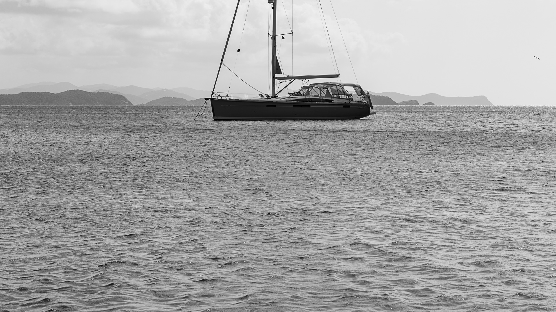 | 8331.7 |
| 2021/07/13 | 18.25°N 64.39°W | Cane Garden Bay, Tortola, BVI | 08:00 | 04:30 | 23.1 | I headed first to Trellis Bay off Beef Island with just the genoa out and tacking downwind as my course was dead downwind. Once at a mooring in Trellis I decided not to remain there and sailed downwind to Cane Garden Bay | 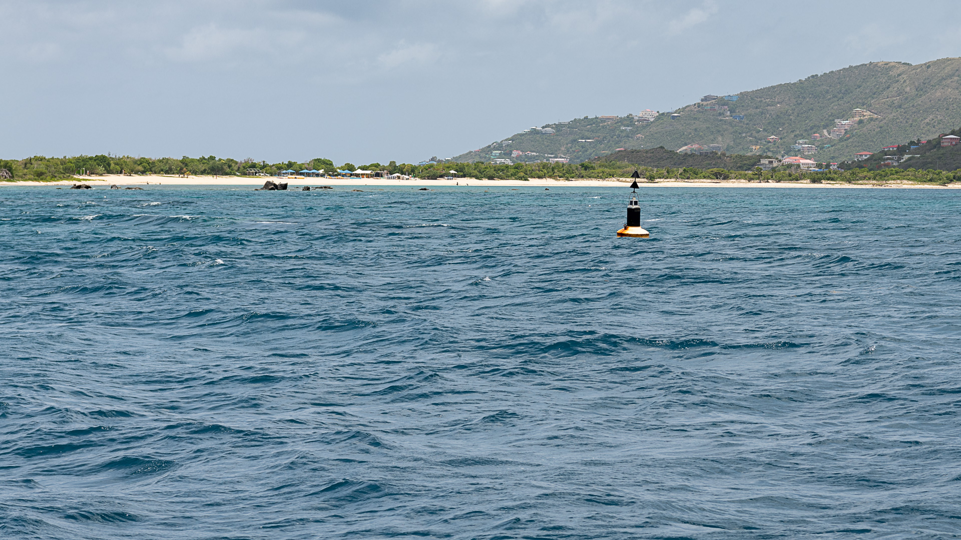 | 8305.1 |
| 2021/07/09 | 18.30°N 64.22°W | Prickly Pear Island, BVI | 13:00 | 17:30 | 26.3 | My plans to leave were thwarted by a very badly fouled anchor that took hours to clear up. I opted to get into the shelter of Prickly Pear Island for the night. The sail was fun and brisk with a stiff breeze but since I was going upwind the distance sailed was a lot more than indicated on the map |  | 8282.0 |
| 2021/07/08 | 18.28°N 64.34°W | White Bay, Guana Island, BVI | 13:30 | 17:30 | 17.0 | Although I wanted to sail to Savannah Bay, I’d overestimated my speed and realized I wouldn’t make it there in good light, so I sailed to the shelter of Guana Island instead | 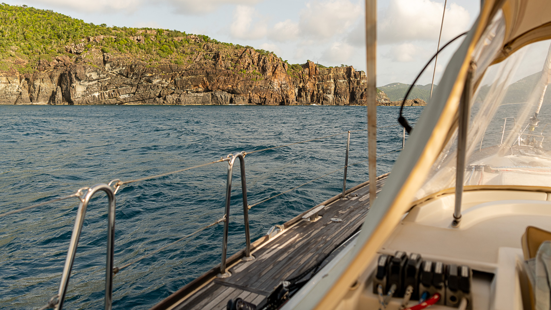 | 8272.7 |
| 2021/07/03 | 18.42°N 64.66°W | Cane Garden Bay, Tortola, BVI | 12:00 | 15:30 | 12.5 | My first sail in over a year! The winds were fresh and I opted for a downwind sail to the West End and then upwind to Cane Garden Bay. With just a reefed genoa to the West End I still made good speed and then tacked up and into Cane Garden Bay | 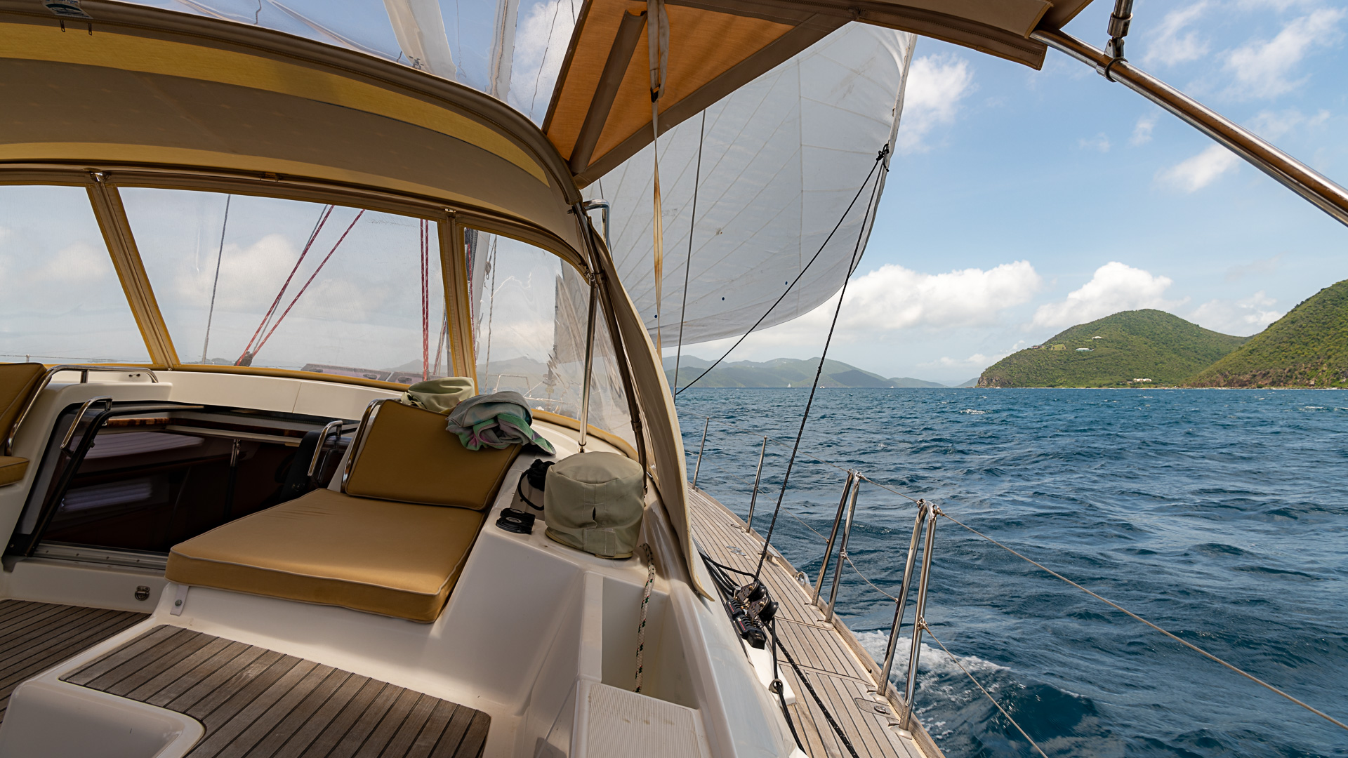 | 8255.7 |
| 2020/02/15 | 18.30°N 64.22°W | Prickly Pear, Virgin Gorda, BVI | 11:00 | 17:00 | 31.1 | Squalls all day and winds around 20 knots, I decided to call it a day in the North Sound of Virgin Gorda rather than continuing onwards to St. Martin | 8243.2 | |
| 2020/02/03 | 18.39°N 64.70°W | Lighthouse Marina, West End, BVI | 00:00 | 16:35 | 92.6 | Day 9. | 8212.1 | |
| 2020/02/02 | 19.75°N 65.47°W | At sea | 00:00 | 12:00 | 150.5 | Day 8. | 8119.5 | |
| 2020/02/01 | 21.58°N 67.30°W | At sea | 00:00 | 23:59 | 123.6 | Day 7. | 7969.0 | |
| 2020/01/31 | 23.36°N 68.42°W | At sea | 00:00 | 23:59 | 154 | Day 6. | 7845.4 | |
| 2020/01/30 | 25.59°N 69.81°W | At sea | 00:00 | 23:59 | 155.6 | Day 5. | 7691.4 | |
| 2020/01/29 | 27.97°N 70.96°W | At sea | 00:00 | 23:59 | 164.6 | Day 4. | 7535.8 | |
| 2020/01/28 | 30.40°N 72.37°W | At sea | 00:00 | 23:59 | 179.3 | Day 3. | 7371.2 | |
| 2020/01/27 | 33.19°N 73.62°W | At sea | 00:00 | 23:59 | 163.1 | Day 2. | 7191.9 | |
| 2020/01/26 | 35.66°N 75.25°W | At sea | 10:03 | 23:59 | 91 | Departed Norfolk. | 7028.8 | |
| 2019/01/16 | 36.91°N 76.31°W | Norfolk Yacht Club, Norfolk, VA | 11:00 | 13:29 | 17 | I was offered a chance to use the Norfolk Yacht and Country Club docks rather than the expensive commercial marina while waiting for optimal weather and I jumped at the opportunity. | 6937.8 | |
| 2020/01/14 | 37.02°N 76.34°W | Bluewater Marina, Hampton, VA | 09:40 | 17:00 | 18.0 | I’d missed my weather window and needed a replacement inverter, so I motored the few miles into the Bluewater Marina in Hampton to await parts and better weather. | 6920.8 | |
| 2020/01/13 | 36.93°N 76.18°W | Cobb’s Anchorage, Hampton, VA | 10:21 | 22:47 | 88.0 | The conditions were calm today, but after checking via e-mail with the weather routing expert, Chris Parker, I opted not to head out to sea but to seek a sheltered anchorage off Cobb’s Marina in Norfolk | 6902.8 | |
| 2020/01/12 | 38.32°N 76.46°W | Solomon’s Island, MD | 11:00 | 13:34 | 10 | Departed the anchorage, but after an hour of motoring realized that I had no weather window to continue and that there were no anchorages within daylight motoring distance, plus noticed issues with the engine. Returned to Solomon’s Island and went to a dock | 6814.8 | |
| 2020/01/11 | 38.33°N 76.45°W | Solomon’s Island, MD | 08:01 | 19:45 | 43.5 | Departed the docks at high tide so that I could be sure of making it out of the back creek without grounding. Motored against wind and waves to anchor inside Solomon’s Island | 6804.8 | |
| 2020/07/25 | 38.96°N 76.48°W | Jabin’s Yard, Annapolis, MD | 12:00 | 12:00 | 4.0 | A short sail at high tide to Jabin’s Yard. Zanshin hauled out and a complete refit done, then put back in the water | 6761.3 | |
| 2019/07/24 | 39.00°N 76.26°W | Whitehall Bay, MD | 09:00 | 17:00 | 35.8 | A short day, although entering the narrow channel to Whitehall was done without electronic maps as the batteries on my plotter died at just the wrong moment | 6757.3 | |
| 2019/07/23 | 39.22°N 76.02°W | Betterton, MD | 06:00 | 17:00 | 84.5 | Going up the Delaware was rough with big breaking waves against me until I was very far inland. The C&D Canal was smooth and easy. | 6721.5 | |
| 2019/07/22 | 38.47°N 75.07°W | Port Lewes, DE | 10:00 | 20:00 | 62.3 | I had to wait for high tide to get to the fuel dock, then motored south in large seas with the boat rolling around as never before. Not a great day of motoring and I was happy to drop the hook | 6637.0 | |
| 2019/07/21 | 39.23°N 74.25°W | Atlantic City, NJ | 07:00 | 18:00 | 94.3 | Motored off the New Jersey shore in relatively settled conditions and anchored off the Coast Guard station in Atlantic City | 6574.7 | |
| 2019/07/20 | 40.25°N 74.01°W | Sandy Hook, NJ | 06:00 | 19:00 | 69.3 | An awesome day of motoring, past Manhattan in sunny skies and clear conditions. | 6480.4 | |
| 2019/07/19 | 40.58°N 73.05°W | Port Jefferson, NY | 09:00 | 18:00 | 91.6 | Motored in calm conditions and made the best use of tides and currents to make Port Jefferson and anchor there before dark | 6411.1 | |
| 2019/05/00 | 41.29°N 71.19°W | Newport, RI | 12:00 | 12:00 | 0.0 | empty. | 6319.5 | |
| 2017/03/00 | °N °W | ?,? | 12:00 | 12:00 | 250.0 | Numerous missing entries. | 6319.5 | |
| 2017/03/22 | 17.13°N 61.89°W | Deep Bay, Antigua & Barbuda | 02:00 | 17:30 | 125 | The anchorage at Grand Case was so uncomfortable that I left at 02:00 and continued the trip to Antigua with a night sail. The conditions were very mild and although I was sailing I was only doing about 4 knots. A heavy squall cleaned the boat, gave me a cold shower and propelled “Zanshin” at 10 knots for an hour with reefed sails, but after that squall passed the winds died down and I ended motorsailing the rest of the way to Antigua at 1500RPM in almost flat seas. | 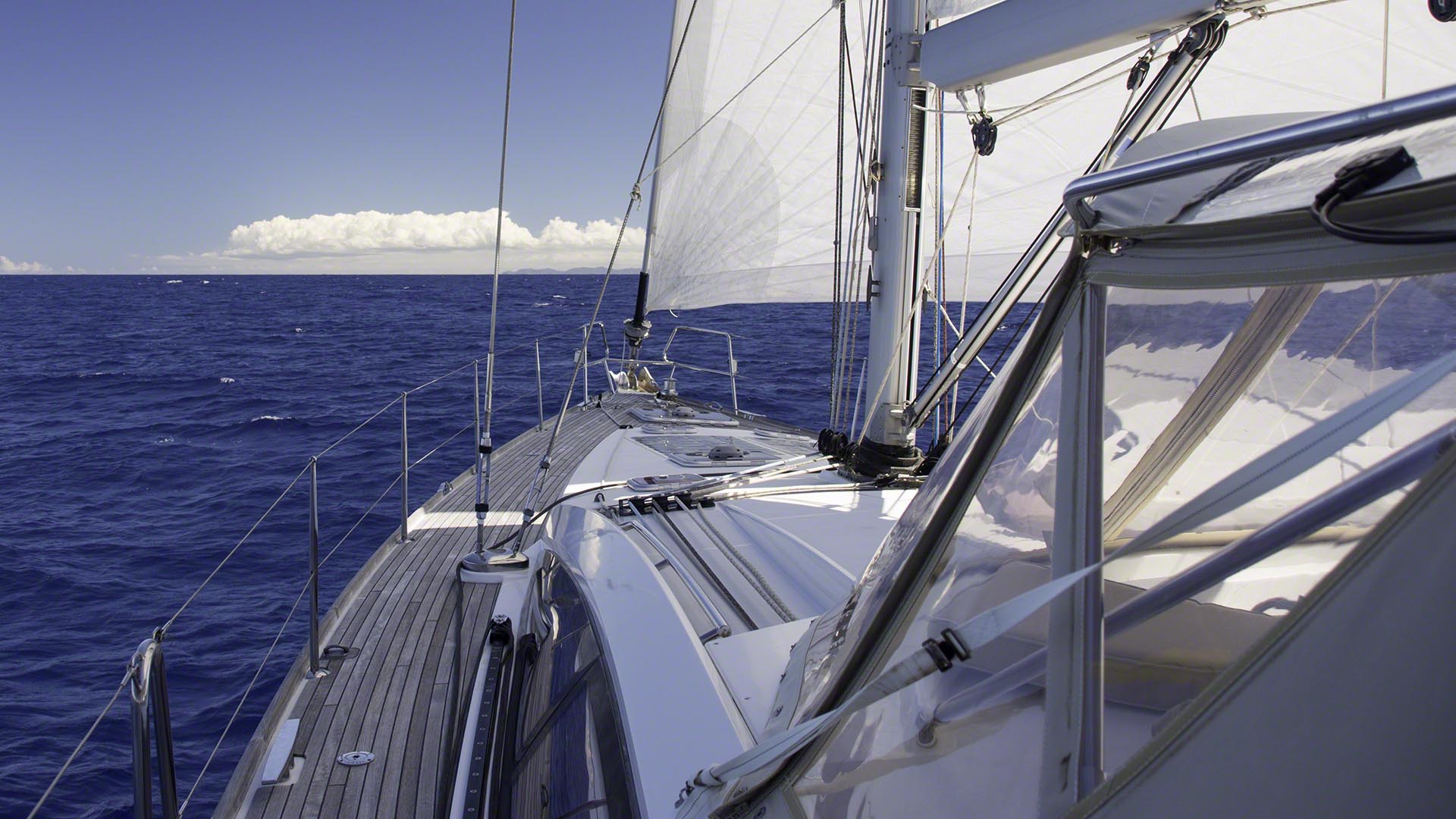 | 6069.5 |
| 2017/03/21 | 18.11°N 63.06°W | Grand Case, St. Martin, FWI | 06:30 | 14:00 | 90 | This passage from the BVI to St. Martin is one for my personal record books. Even though the weather services had predicted a 10 knot NW wind I’d never seen any wind come from that direction so I didn’t really believe it. But it really did blow from the northwest, although until about 09:00 the wind was too light to use so I motorsailed until then; but afterwards the conditions were near perfect, with a long north swell but otherwise no significant waves and the NW wind pushing the boat at speeds between 6 and up to 10 knots! I arrived in Grand Case after an 11 hour sail with nary a splash of salt water anywhere on the decks. | 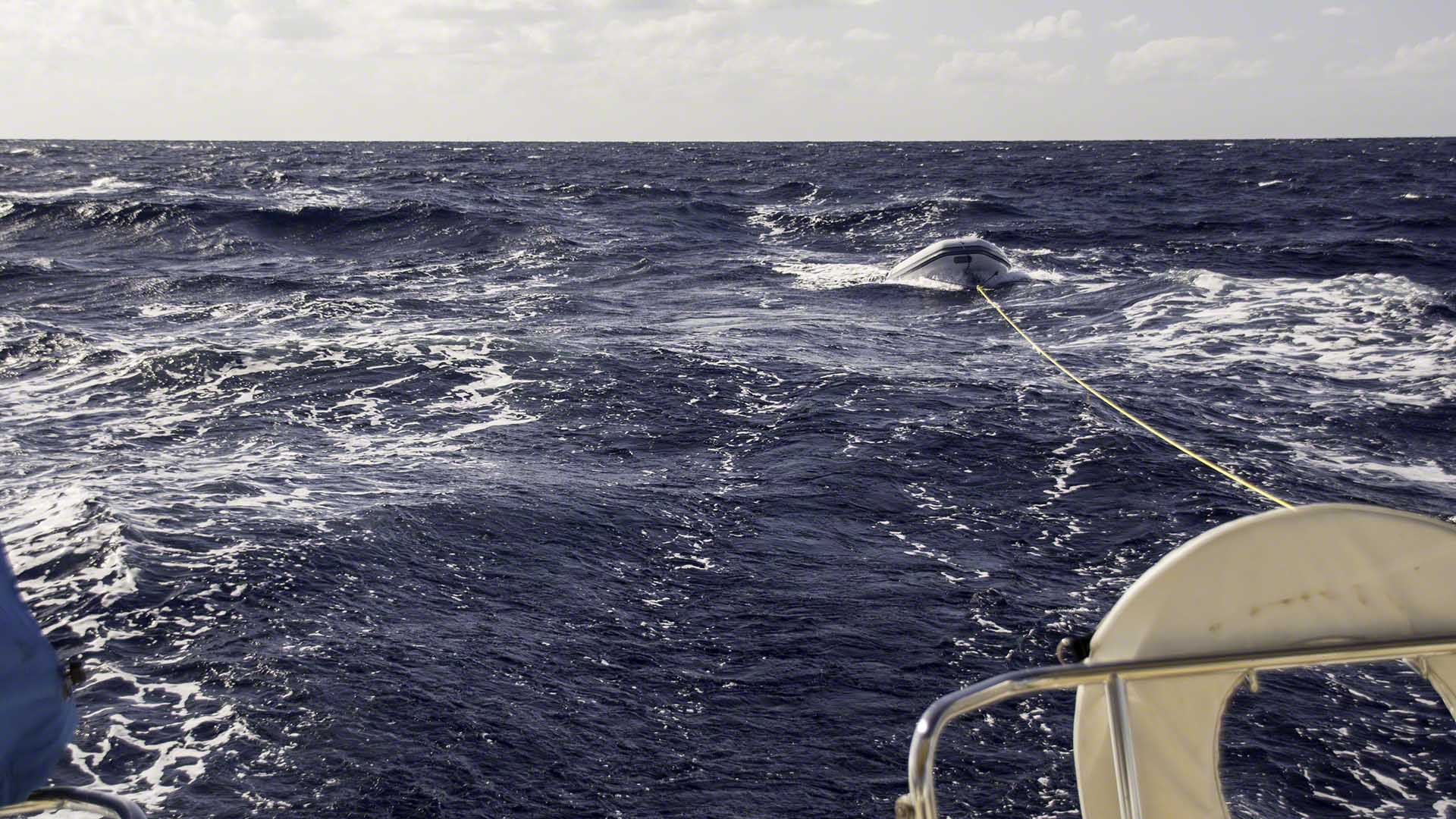 | 5944.5 |
| 2017/03/16 | 18.50°N 64.36°W | Prickly Pear Island, North Sound, BVI | 10:00 | 14:00 | 21.4 | There was a noticeable north swell with a very long period, but otherwise the seas were calm and the wind was perfect for a close-hauled single tack from Sandy Cay all the way to the entrance of the North Sound channel. I averaged 7 knots and sometime was zipping along at over 8 in near-perfect sailing conditions. I could only shake my head at all the (charter) boats underway with bare poles. |  | 5854.5 |
| 2017/03/15 | 18.45°N 64.72°W | Diamond Cay, Jost van Dyke, BVI | 12:00 | 16:30 | 12.0 | The first sail of the season was in very light conditions and I sailed down the Sir Francis Drake channel, rounded the corner at Soper’s Hole and sailed across to Diamond Cay off Jost van Dyke. At times I was drifting at less than a know, but usually I had 2-3 knots of speed and I was in no hurry so didn’t used the engine until I dropped sails to anchors. | 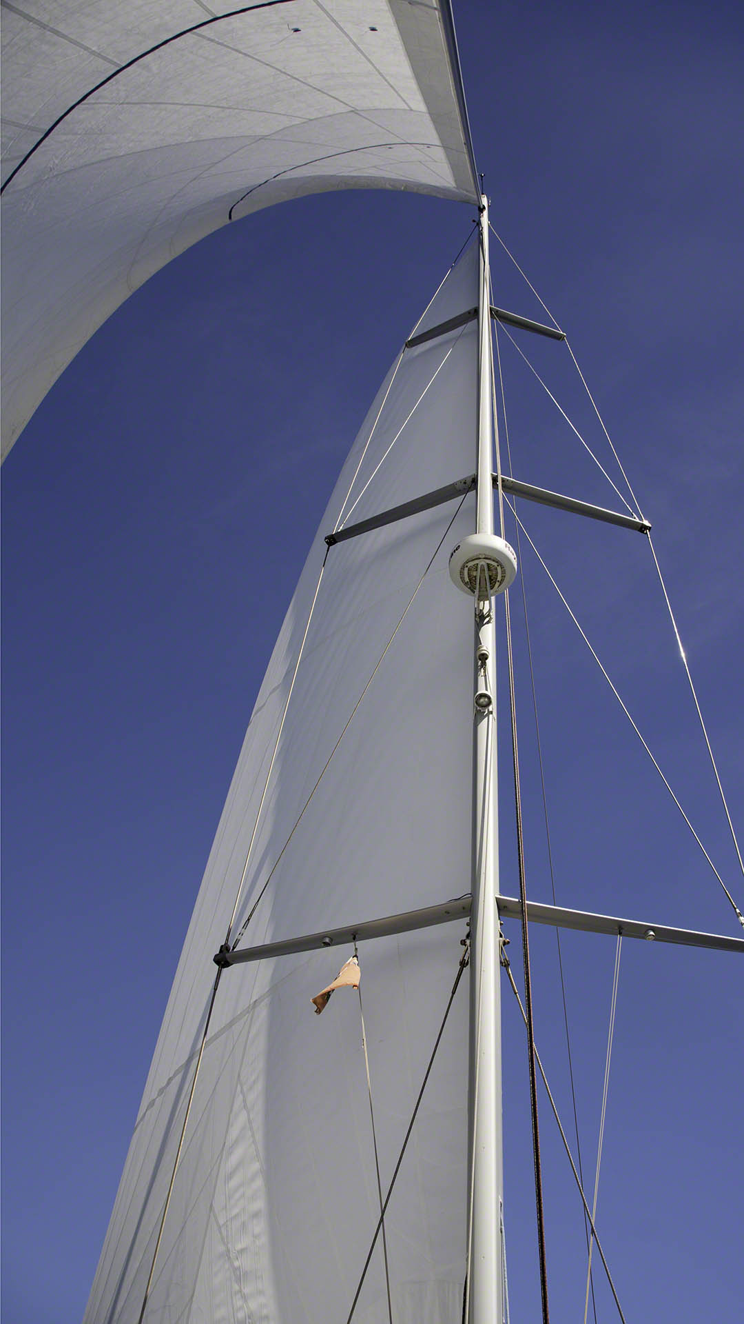 | 5833.1 |
| 2016/??/?? | °N °W | ?,? | 12:00 | 12:00 | 250.0 | Many missing entries | 5821.1 | |
| 2016/03/13 | 18.50°N 64.36°W | Prickly Pear Island, North Sound, BVI | 10:00 | 15:00 | 28.5 | Tacking upwind to my favourite spot off Prickly Pear, I had a good sail with reefed sails while I was learning the ropes again. 10-15 knots of breeze and no significant waves made this a great way to start my sailing season | 5571.1 | |
| 2016/03/12 | 18.32°N 64.62°W | The Bight, Norman Island BVI | 12:30 | 14:00 | 5.0 | In light winds but with a reef in both sails I was doing a comfortable 7 knots while getting a feel for the boat again. |  | 5542.6 |
| 2015/06/03 | 18.40°N 64.64°W | Nanny Cay Marina, Tortola, BVI | 08:00 | 12:00 | 18.6 | Downwind sail with just the main, as the genoa was stored below. In the end to save time I ended up motoring to Nanny Cay where Zanshin was put on the hard | 5537.6 | |
| 2015/06/01 | 18.50°N 64.38°W | Leverick Bay, Virgin Gorda, BVI | 13:00 | 13:30 | 1.5 | Motored to the dock at Leverick Bay in order to get the boat ready for storage. | 5519.0 | |
| 2015/05/31 | 18.50°N 64.36°W | Prickly Pear Island, North Sound, BVI | 10:00 | 15:00 | 30.1 | A spirited sail upwind to the North Sound, I got to practice tacking several times with one reef in both sails. | 5517.5 | |
| 2015/05/30 | 18.42°N 64.66°W | Cane Garden Bay, Tortola, BVI | 12:00 | 13:00 | 4.0 | Another hop across to the main island of Tortola in light winds. | 5487.4 | |
| 2015/05/28 | 18.45°N 64.72°W | Diamond Cay, Jost van Dyke, BVI | 13:00 | 14:00 | 3.4 | Short sail around the corner to a better anchorage at Diamond Cay. | 5483.4 | |
| 2015/05/28 | 18.44°N 64.74°W | Great Harbour, Jost van Dyke, BVI | 10:00 | 12:00 | 8.3 | Sail/Motorsail to clear into the BVI at Jost van Dyke, where they said that their photocopier was broken and thus they couldn’t give me a temporary import paper. | 5480.0 | |
| 2015/05/26 | 18.35°N 64.74°W | Maho Bay, St. John, USVI | 08:00 | 14:300 | 32.6 | Downwind sail from the North Sound to clear in at Cruz Bay and then tuck around the corner at Maho. | 5471.7 | |
| 2015/05/25 | 18.50°N 64.36°W | Prickly Pear Island, North Sound, BVI | 01:00 | 17:30 | 82.5 | Although the wind was from behind, it was unfortunately from directly behind me and I had the sails flopping around a lot during the passage, and the big seas didn’t help, either. | 5439.1 | |
| 2015/05/20 | 18.11°N 63.06°W | Grand Case, St. Martin, FWI | 13:00 | 17:00 | 21.5 | Stopping at Anse Marcel to clear in, the sail was a fast one from Île Fourchue to St. Martin. | 5356.6 | |
| 2015/05/19 | 17.95°N 63.06°W | Île Fourchue, St. Barths, FWI | 10:00 | 12:00 | 7.4 | A short sail from the anchorage in Colombier to Île Fourchue. | 5335.1 | |
| 2015/05/17 | 17.92°N 62.86°W | Anse Colombier, St. Barths, FWI | 06:00 | 18:00 | 75.9 | I left in at sunrise in no wind and motored the first miles before getting some wind and arrived at sunset. | 5327.7 | |
| 2015/05/15 | 17.13°N 61.89°W | Deep Bay, Antigua & Barbuda | 12:00 | 19:00 | 42.0 | This was a round trip to Falmouth and back; it was originally not supposed to be but I changed my plans after clearing out and returned to Deep Bay. Waves were still 1.5 to 2 meters and the upwind stretch to Falmouth Harbour had strong winds. The return trip was with lighter winds yet was still fast and I made it back to the anchorage in the dusk after sunset. | 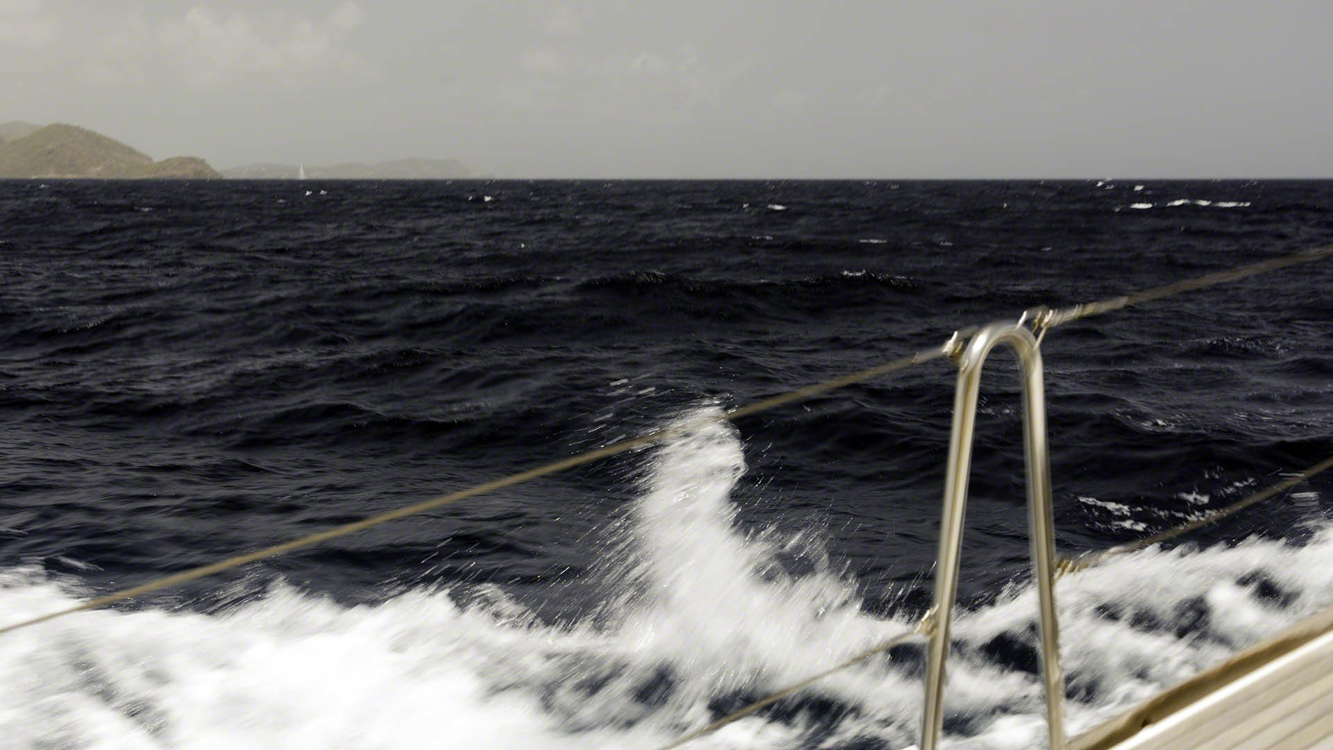 | 5251.8 |
| 2015/05/08 | 17.13°N 61.89°W | Deep Bay, Antigua & Barbuda | 11:00 | 15:30 | 31.9 | This trip was done via a short detour in Falmouth Harbour in order to get some needed supplies. Winds were 15-20 knots and the sail alternated between fast downwind and crosswind runs and tacking upwind. | 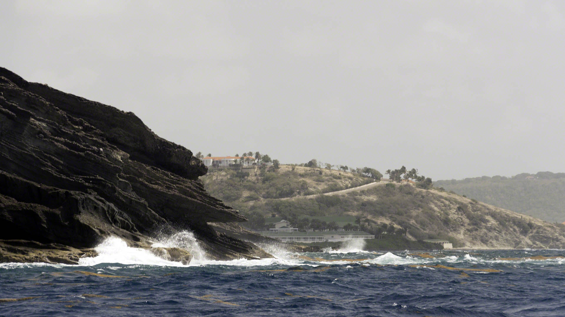 | 5209.8 |
| 2015/05/03 | 17.08°N 61.67°W | Green Island, Antigua & Barbuda | 11:00 | 12:30 | 10.8 | I sailed out of Falmouth and to Green Island with just the main and the engine ticking over at 1200RPM rather than tack upwind and into the building swell. | 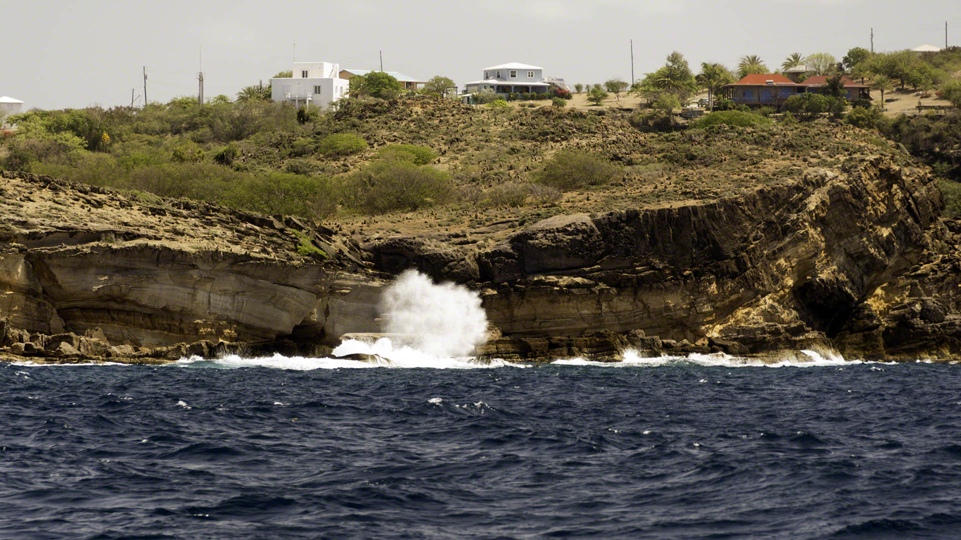 | 5177.9 |
| 2015/04/29 | 17.01°N 61.78°W | Falmouth Harbour, Antigua & Barbuda | 10:30 | 19:00 | 21.6 | Today was Antigua Sailing Week lay day and I headed out to Green Island for a day trip. Southerly winds meant we motorsailed to Green Island but had a nice sail back in 15 knots of wind. | 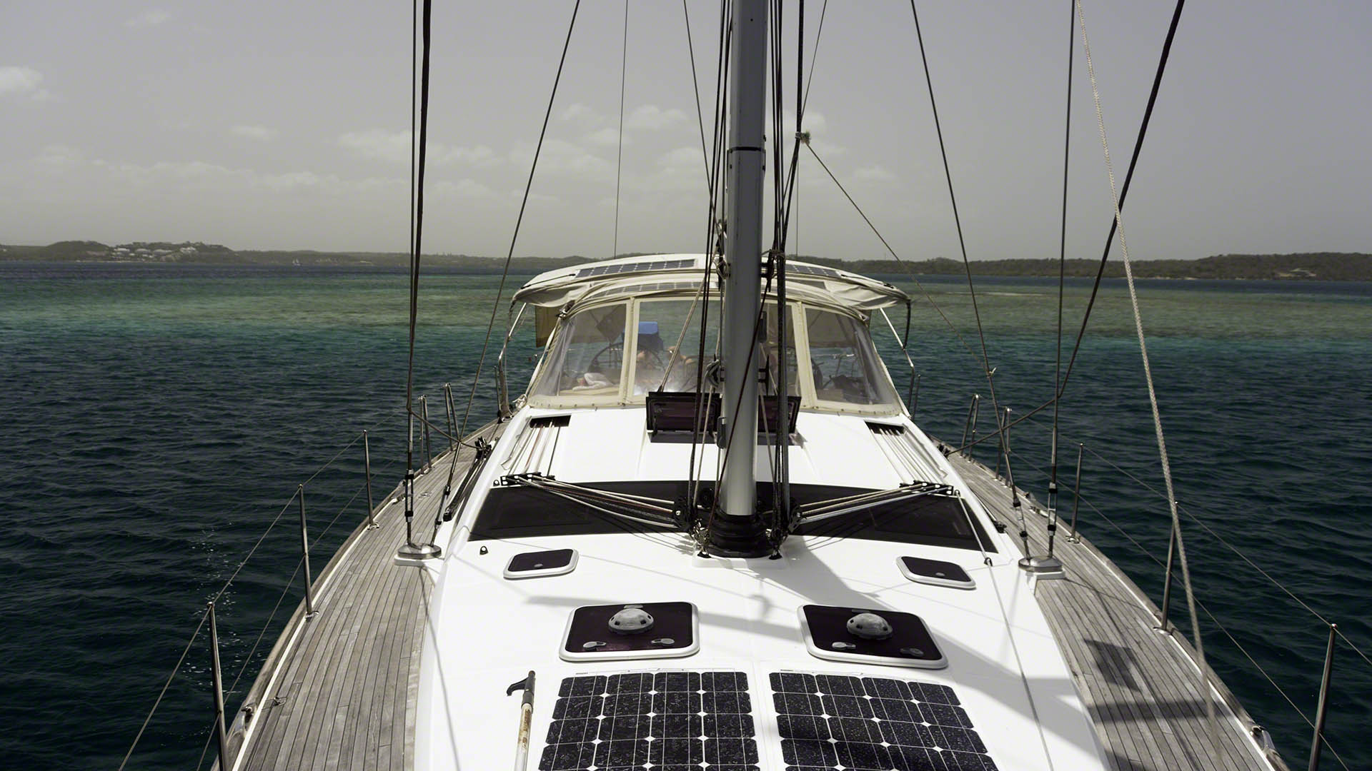 | 5167.1 |
| 2015/04/23 | 17.01°N 61.78°W | Falmouth Harbour, Antigua & Barbuda | 09:30 | 12:00 | 17.3 | For half the stretch I was flying in calm waters but fresh wind at 9 knots, but then I had the upwind leg and since I was in a hurry to reach customs before they started asking uncomfortable questions about my travel time I turned on the engine for the last part. | 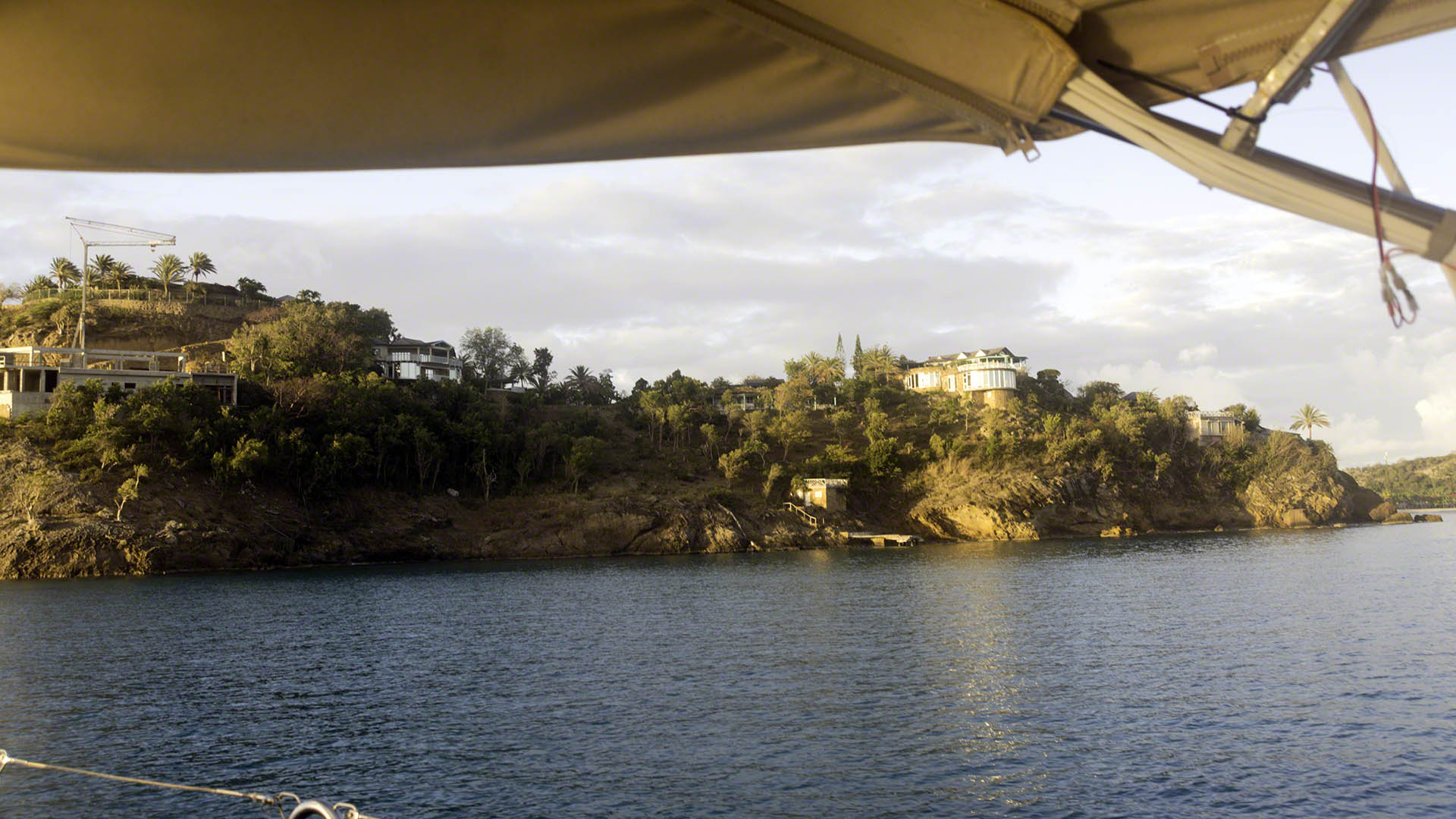 | 5145.5 |
| 2015/04/22 | 17.13°N 61.89°W | Deep Bay, Antigua & Barbuda | 06:30 | 20:00 | 95.9 | The winds weren’t as good as I had hoped for this passage, in then end I found myself with a 20NM tack against wind and waves and I didn’t head for Falmouth as planned but diverted to Deep Bay, which I knew would be empty and easier to find an anchoring spot in the dark. Winds were variable but I did have stretches at 9 Knots boat speed and at other times went down to 6 knots minimum. | 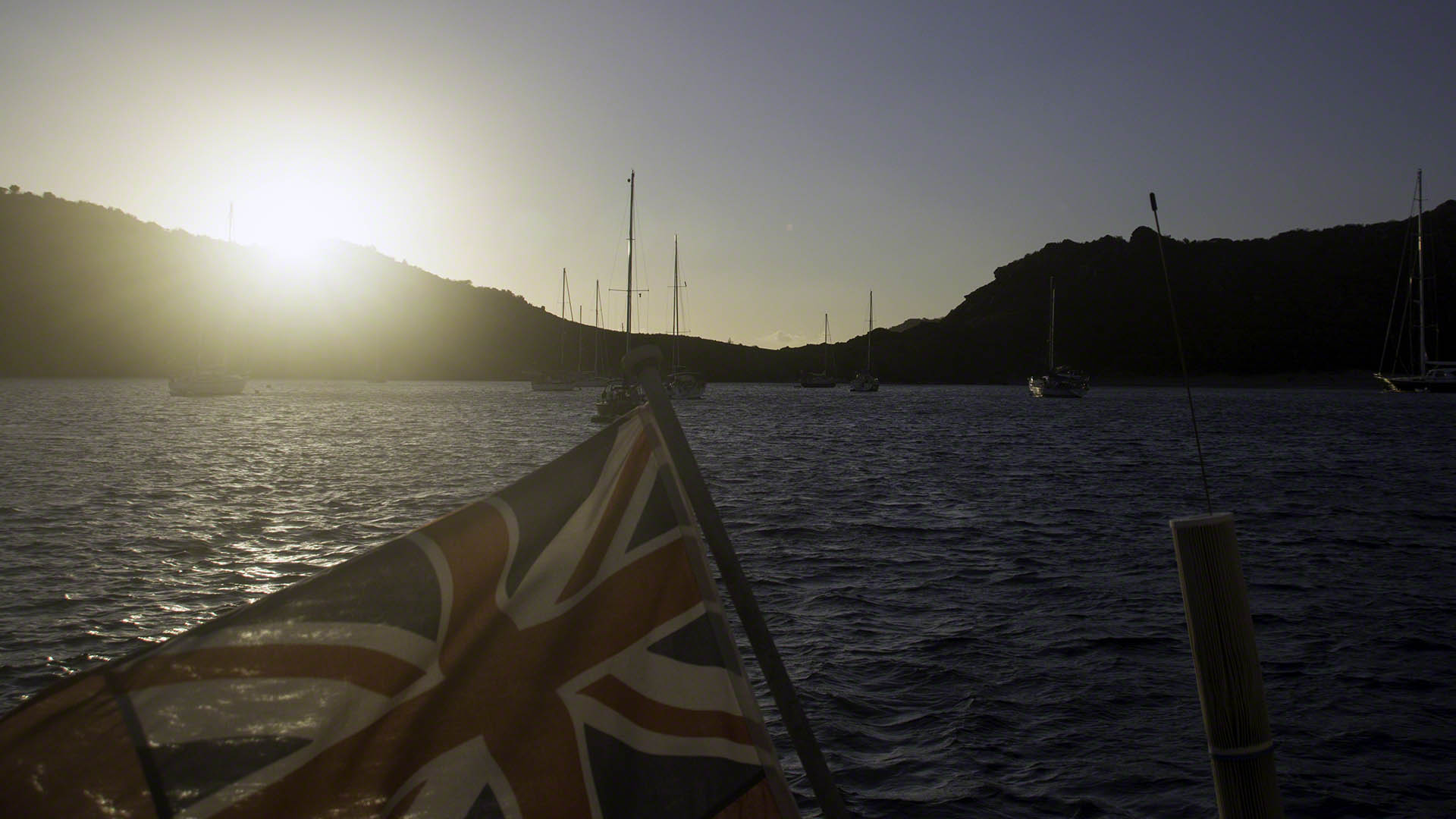 | 5128.2 |
| 2015/04/20 | 17.92°N 62.86°W | Anse Colombier, St. Barths, FWI | 10:30 | 11:30 | 7.4 | A short and simple sail with reefed main and genoa to the next anchorage. | 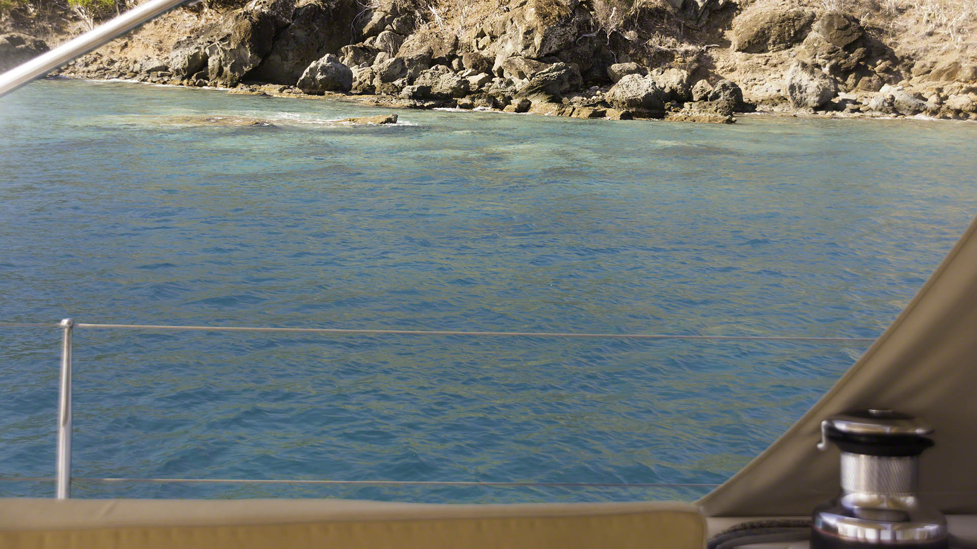 | 5032.3 |
| 2015/04/19 | 17.95°N 63.06°W | Île Fourchue, St. Barths, FWI | 14:30 | 17:30 | 21.0 | Excellent sailing conditions today. I had to tack once off Anguilla and then once more off Île Fourchue to make it to the anchorage. Once there I wish I’d remained in Grand Case due to a big swell coming around the island and rolling Zanshin around, but it is too late to try for Anse Colombier today. I had a false Distress message at 15:35 local time, an EPIRB emission at 69°49’S and 116°199’E which is a whole hemisphere away. | 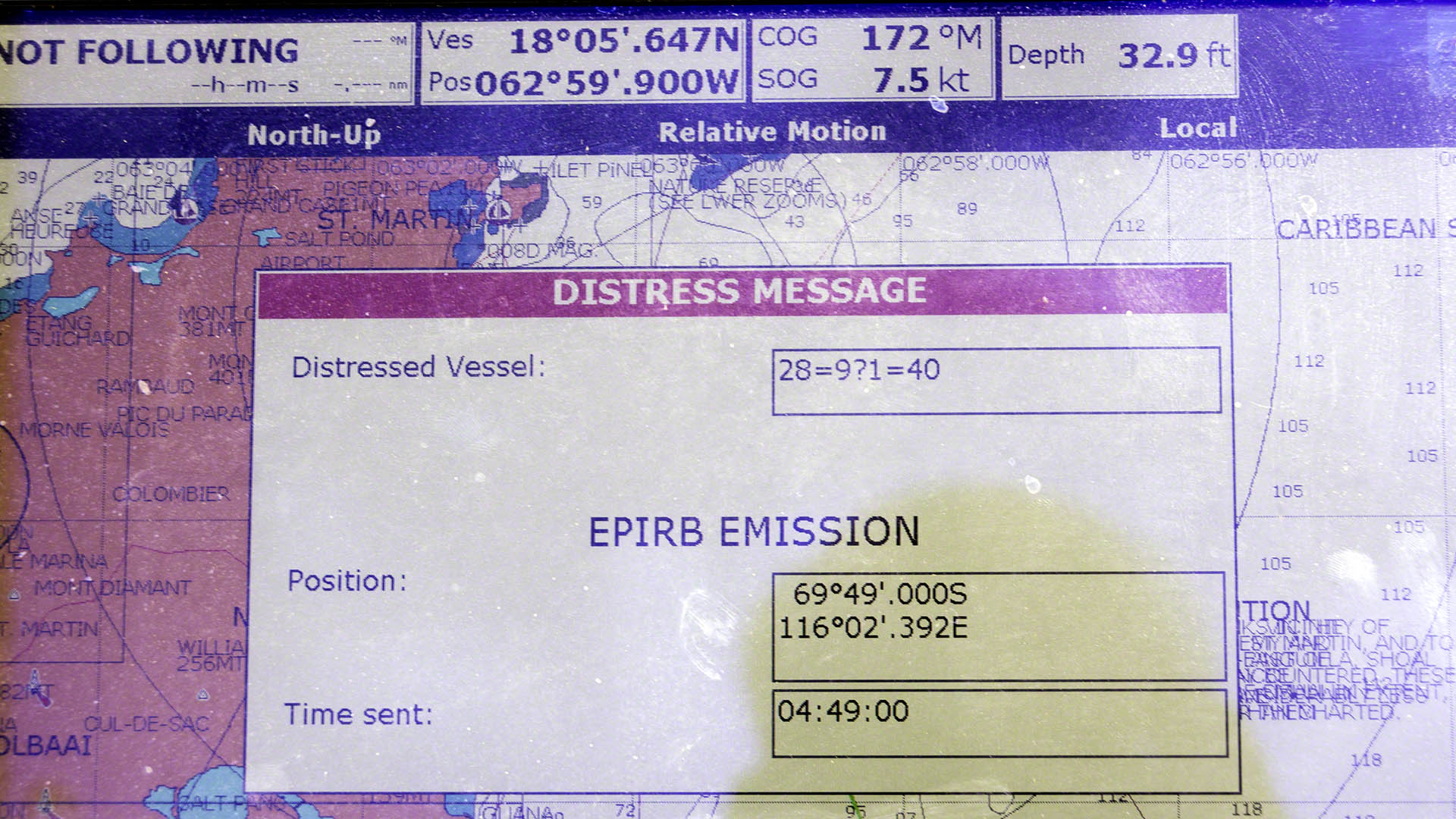 | 5024.9 |
| 2015/04/15 | 18.11°N 63.06°W | Grand Case, St. Martin, FWI | 11:00 | 16:00 | 21.5 | The winds had shifted a bit so we didn’t have a downwind run, but were close on the wind and averaged 9 knots for the trip under full sail. | 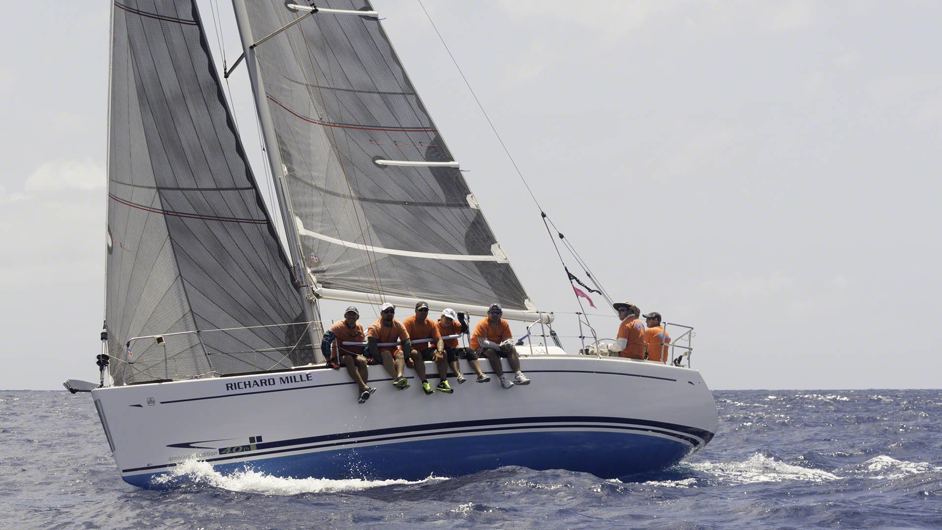 | 5003.9 |
| 2015/04/14 | 17.92°N 62.86°W | Anse Colombier, St. Barths, FWI | 11:00 | 16:00 | 6.4 | We only made it to Gustavia to clear in and check out the town and airport before returning to the same mooring we had the day before. | 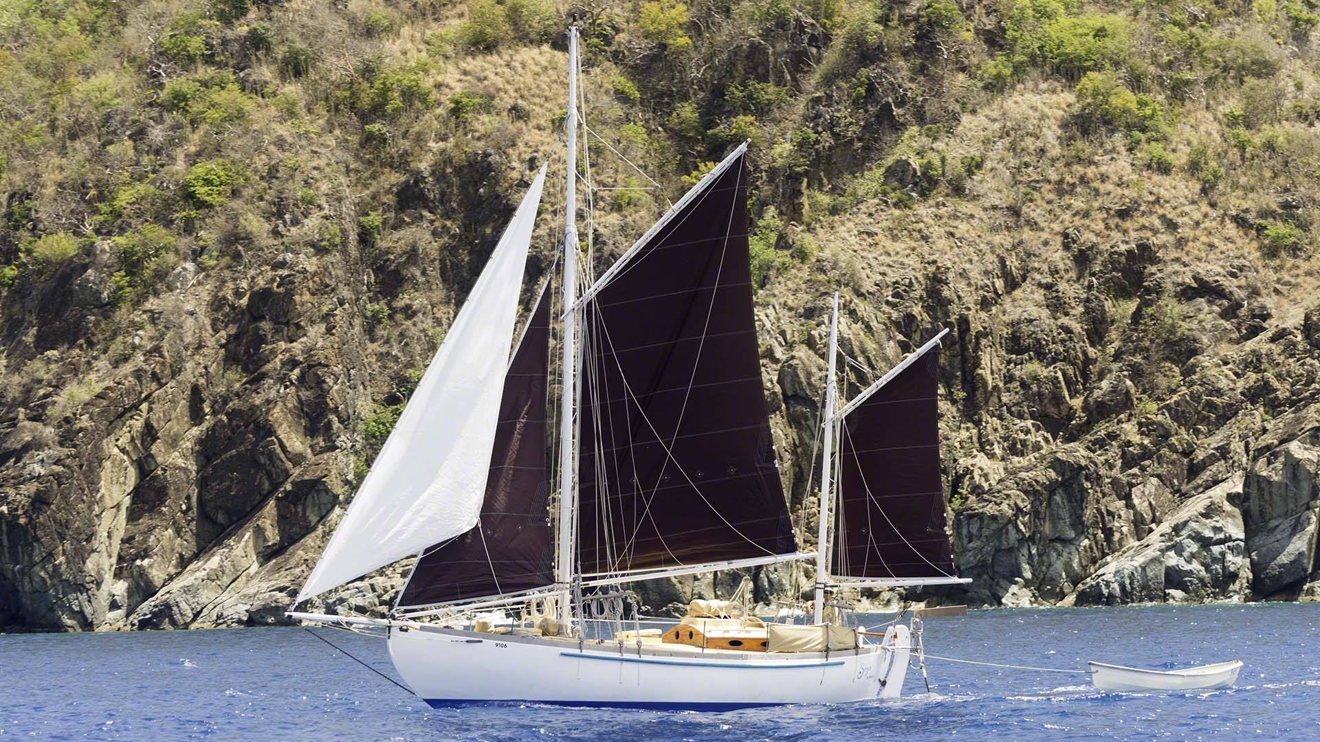 | 4982.4 |
| 2015/04/13 | 17.92°N 62.86°W | Anse Colombier, St. Barths, FWI | 10:00 | 12:00 | 10.0 | Although we sailed downwind, we did motor the upwind stretches as we went to Gustavia, couldn’t find a good anchoring spot, then returned to Anse Colombier. | 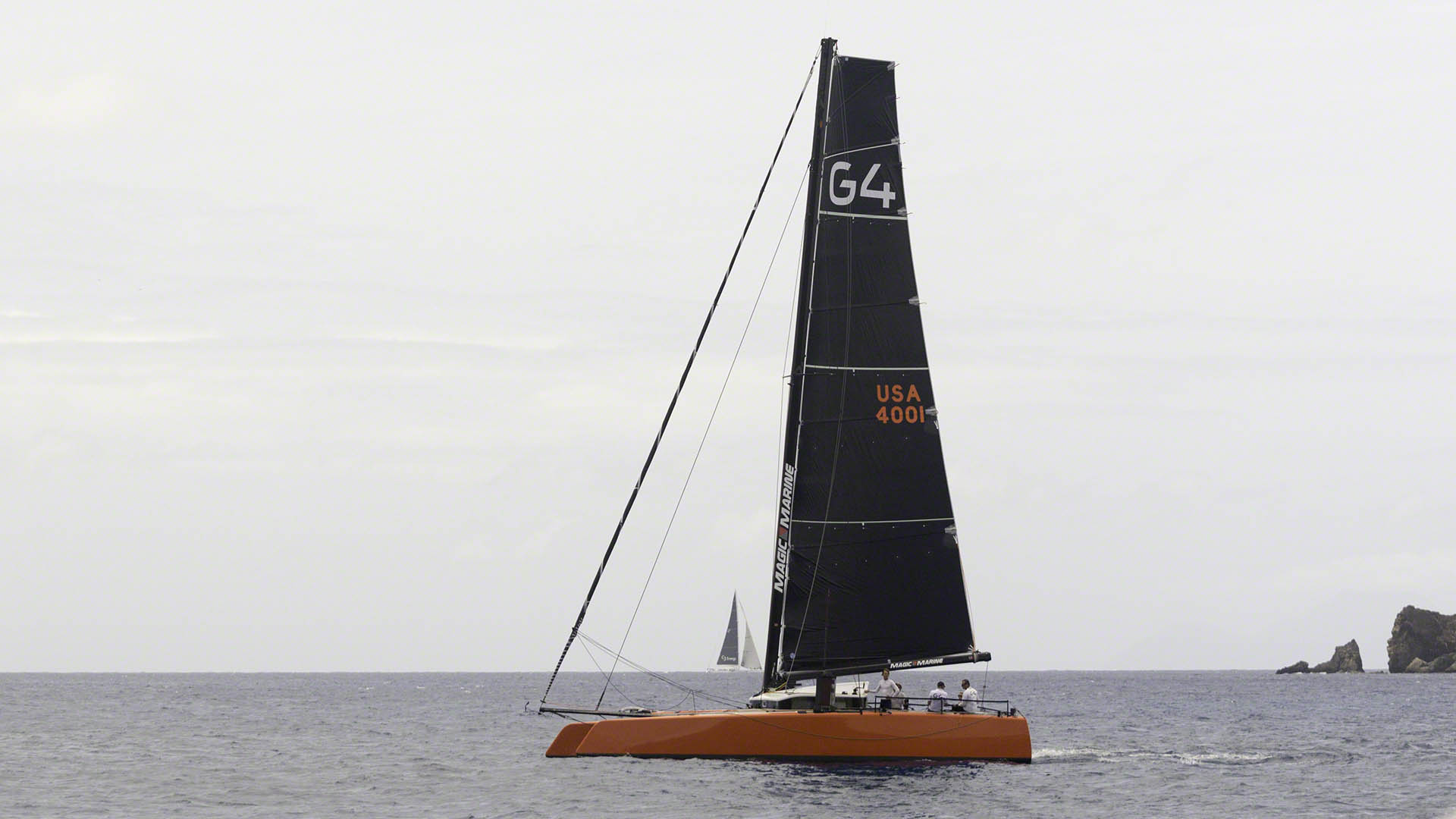 | 4976.0 |
| 2015/04/12 | 17.95°N 63.06°W | Île Fourchue, St. Barths, FWI | 11:00 | 16:00 | 20.6 | Excellent sailing conditions of 15 knots wind and a swell under 2m made for a great passage up the channel and across to Île Fourchue. We only had to tack twice, and that was due to some fish traps in our way. |  | 4966.0 |
| 2015/04/11 | 18.11°N 63.06°W | Grand Case, St. Martin, FWI | 11:30 | 18:30 | 14.8 | With perfect conditions we set sail for Anguilla and back to Colombier via a several hour stop at Anse de Pères. | 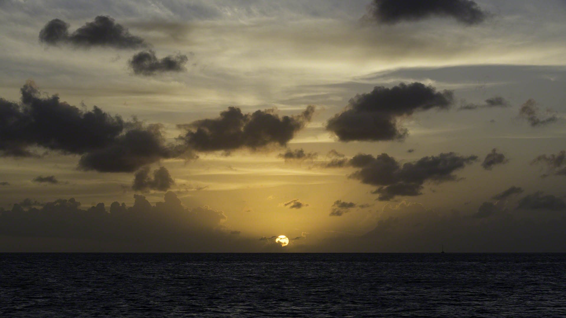 | 4945.4 |
| 2015/04/10 | 18.11°N 63.06°W | Grand Case, St. Martin, FWI | 11:30 | 18:30 | 39.1 | With typical Caribbean winds and a bit lower waves than normal, today’s goal was a circumnavigation of St. Martin / Sint Maarten. With a bit of motorsailing help in the upwind portions we had a great sail with a short lunch stop in Simpson Bay and a return right at sunset. | 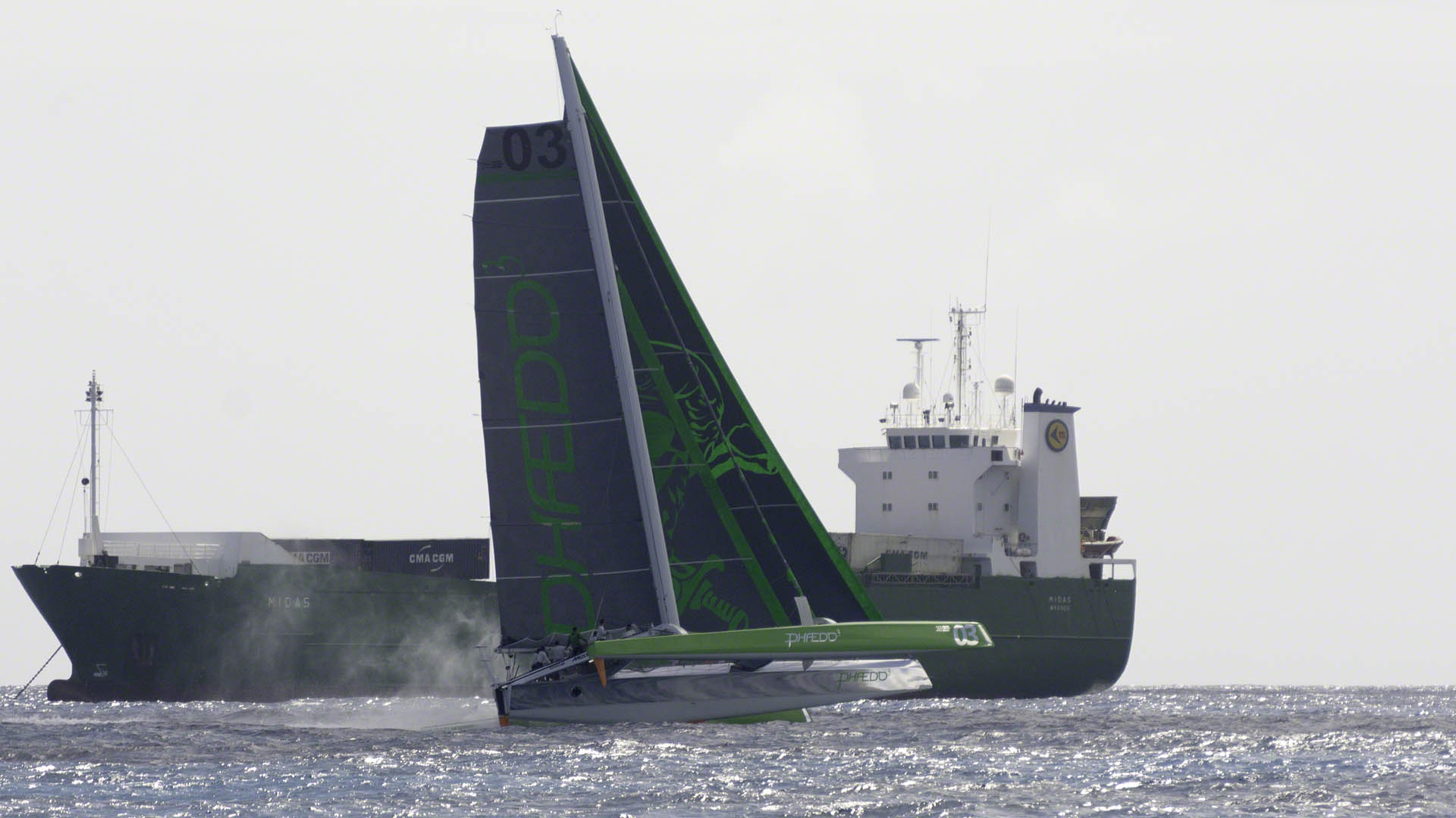 | 4930.6 |
| 2015/04/07 | 18.11°N 63.06°W | Grand Case, St. Martin, FWI | 10:30 | 17:00 | 12.7 | The winds were at 10-15 but the swell was about 1.5m and we went upwind to Île Tintamarre for the day, returning on the downwind run at 7 knots under genoa alone. | 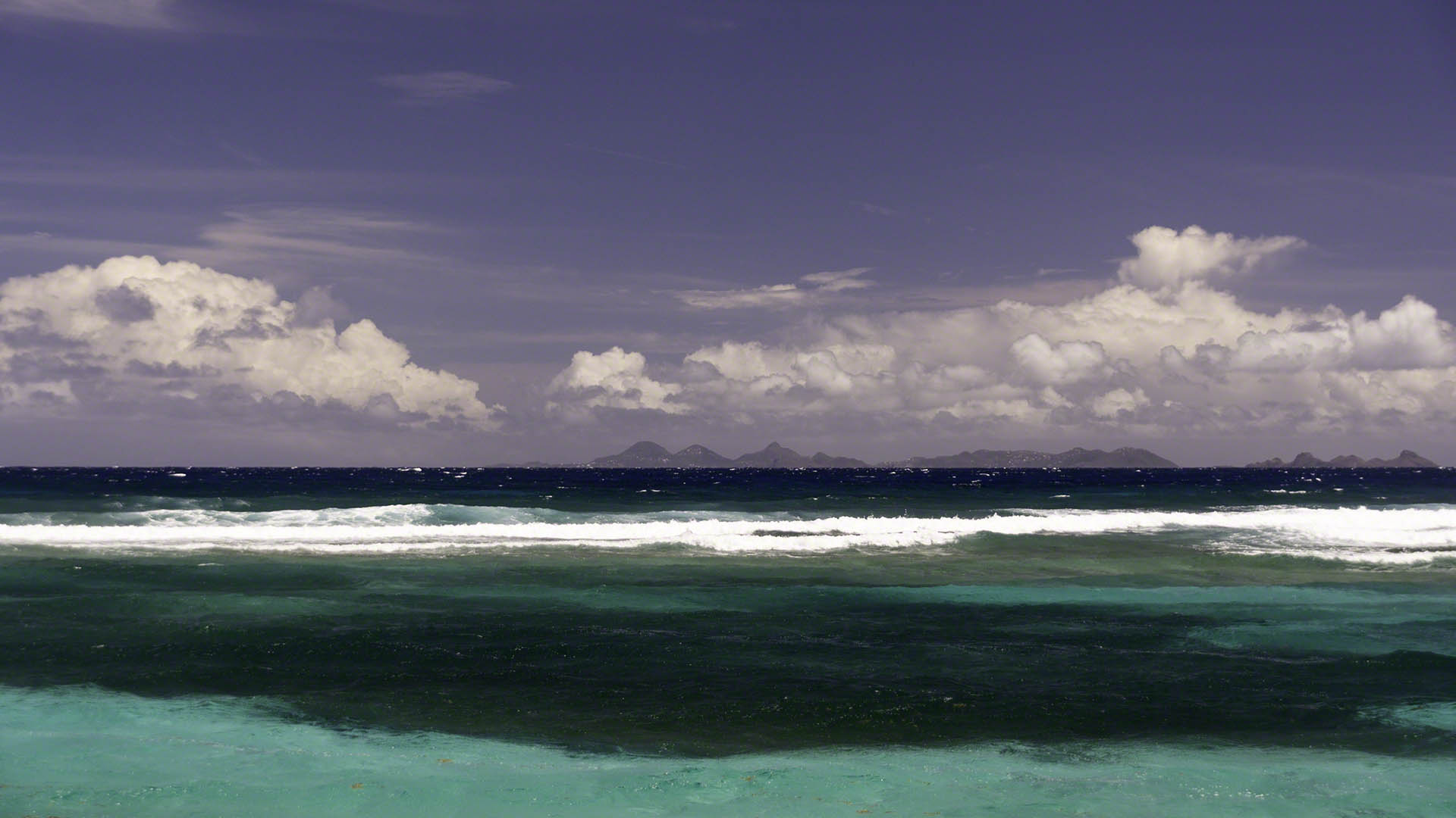 | 4891.5 |
| 2015/04/06 | 18.11°N 63.06°W | Grand Case, St. Martin, FWI | 10:30 | 17:00 | 8.0 | With somewhat stronger conditions today, we headed under engine to the next anchorage upwind, Anse Marcel, but after a half hour there it was a bit too rolly and we once again headed to Anse des Pères for the day. | 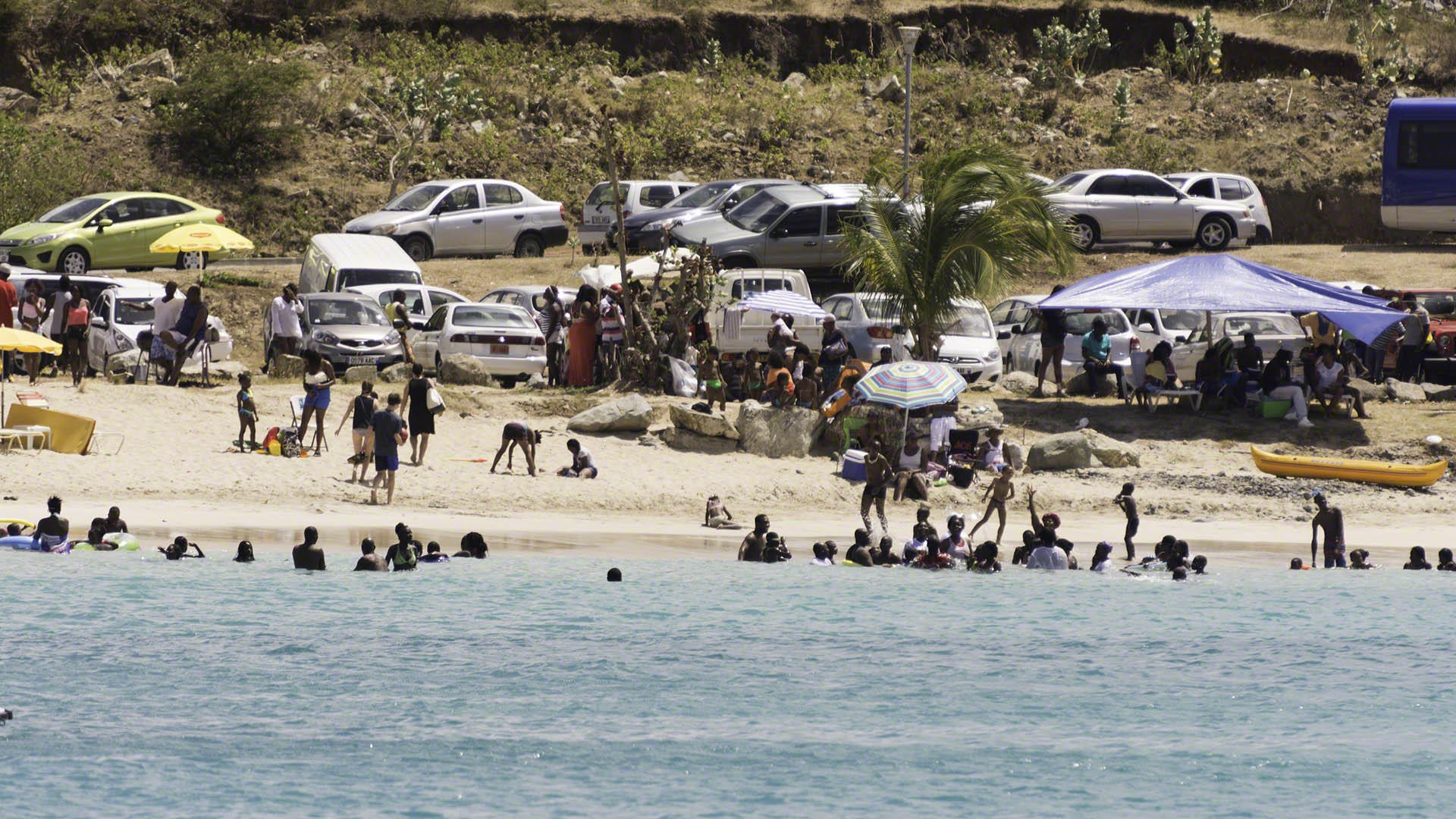 | 4878.8 |
| 2015/04/05 | 18.11°N 63.06°W | Grand Case, St. Martin, FWI | 10:30 | 17:00 | 3.6 | With mild conditions we didn’t go far, to the next beach at Anse de Pères and back again under engine. | 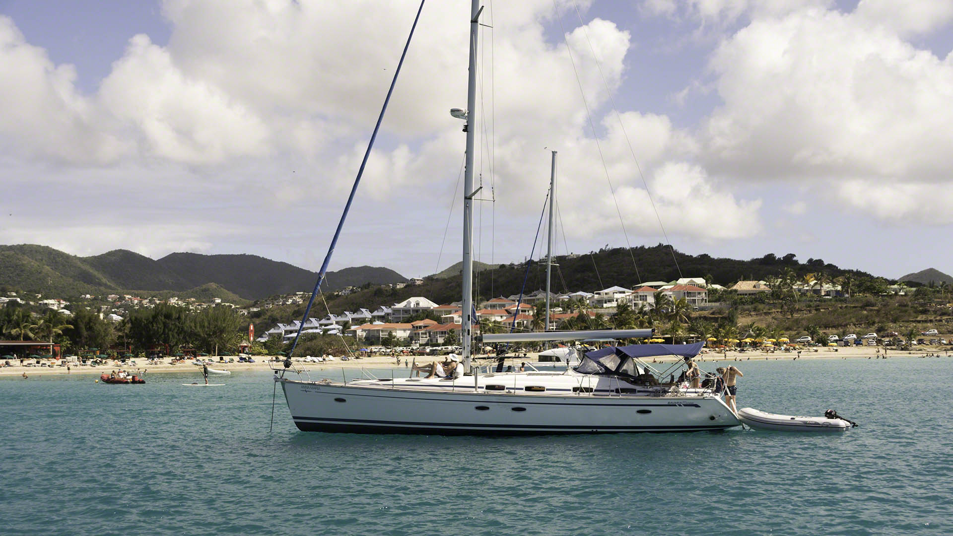 | 4870.8 |
| 2015/04/04 | 18.11°N 63.06°W | Grand Case, St. Martin, FWI | 10:30 | 15:00 | 18.6 | With mild conditions of 10-15 knots of wind and a 1m swell I set sail for Tintamarre with my friends aboard. The wind angle was pretty good so we only had to tack once, off Anguilla, to make the anchorage at Île Tintamarre for a nice day at the beach. Subsequently the return to Grand Case was a downwind run in light winds under genoa alone. | 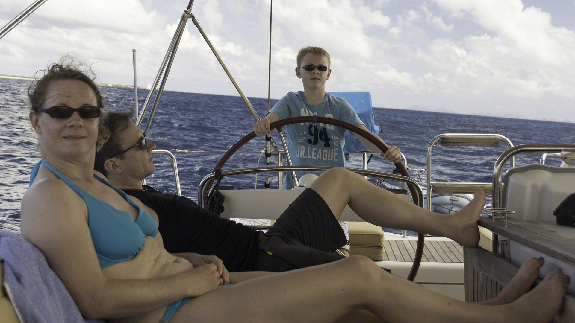 | 4867.2 |
| 2015/03/31 | 18.11°N 63.06°W | Grand Case, St. Martin, FWI | 10:30 | 15:30 | 24.1 | Sailing around the airport area in the lee of the mountains was slow with very light winds and a speed of only 2-3 knots, but once around the corner of the island and in the Anguilla channel the winds picked up considerably and I ended up doing 7-8 with a reef in each sail, going across to Blowing Rock and back with a couple of tacks before dropping anchor in Grand Case. | 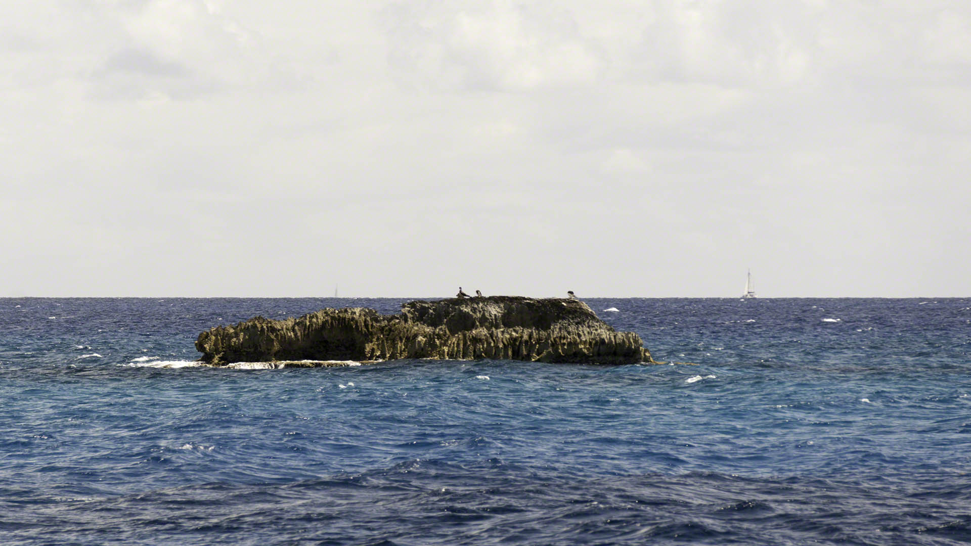 | 4848.7 |
| 2015/03/30 | 18.03°N 63.09°W | Simpson Bay Lagoon, Sint Maarten, WI | 10:15 | 10:45 | 0.0 | I weighed anchor inside the lagoon and headed out the Simpson Bay Bridge to the outside anchorage, a trip of just a few hundred yards and hardly worth putting in this log entry. | 4824.6 | |
| 2015/02/24 | 18.03°N 63.09°W | Simpson Bay Lagoon, Sint Maarten, WI | 00:00 | 13:30 | 94.8 | Apart from dragging the remnants of a fish trap most of the way across, the sail was uneventful. I set the mainsail and motorsailed at 1800-2000RPM all the way across. Towards the end the wind veered enough to make the mainsail flap, but otherwise it was 10-15 knots of wind from slightly north of east and a good 1.5m swell which caused the occasional slamming but was otherwise par for the course. I anchored outside, cleared Customs & Immigration and then made it inside the lagoon for the 17:00 bridge and found an anchoring spot with Mark’s help (he used his lead line from his dinghy to great effect). | 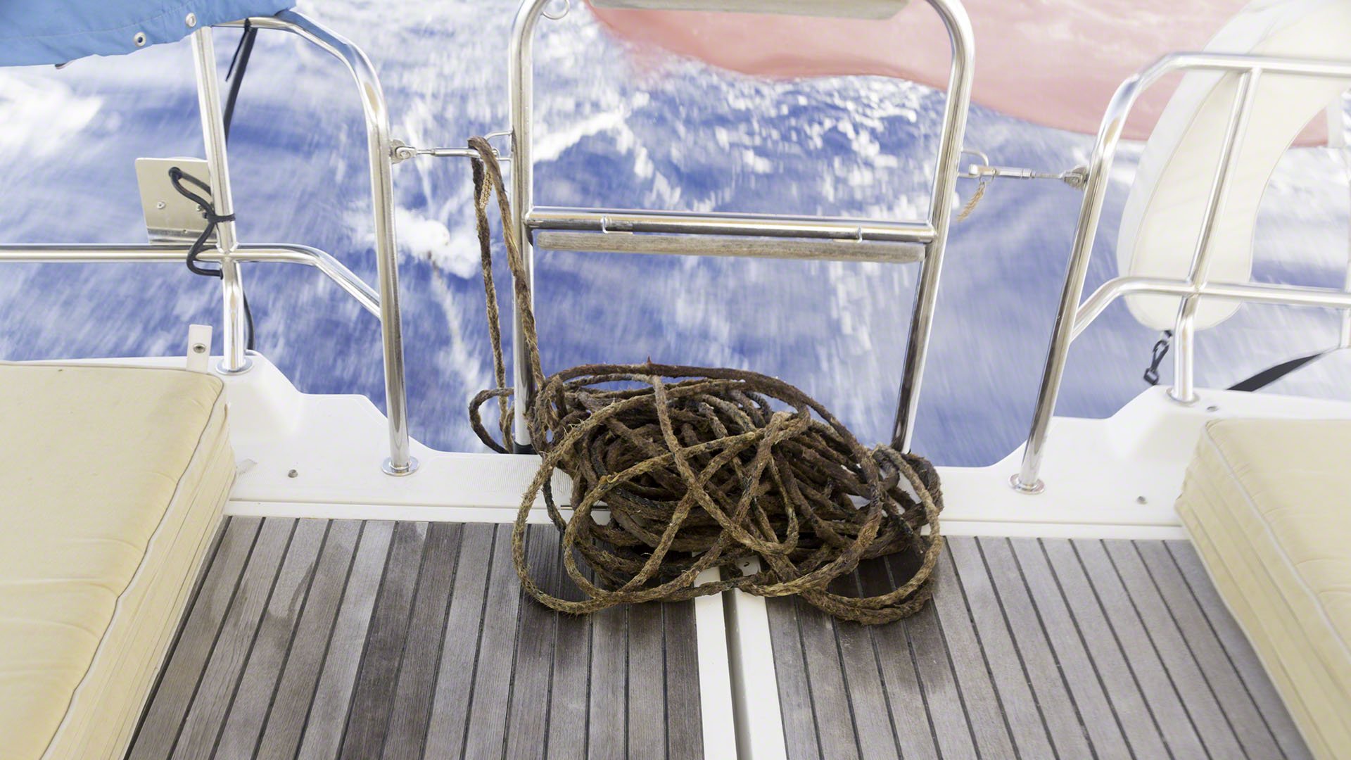 | 4824.6 |
| 2015/02/23 | 18.50°N 64.36°W | Prickly Pear Island, North Sound, BVI | 15:00 | 15:30 | 2.4 | Just a short hop to Gun Creek to clear out at Customs & Immigration, then on to the other side of Prickly Pear in preparation for the St. Martin Passage in the wee hours of the next day. | 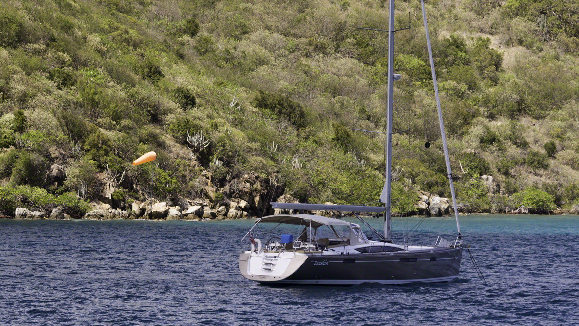 | 4729.8 |
| 2015/02/19 | 18.50°N 64.36°W | Prickly Pear Island, North Sound, BVI | 15:00 | 15:30 | 1.0 | Just a short hop around the corner to an anchoring spot with Internet connectivity | 4727.4 | |
| 2015/02/15 | 18.50°N 64.36°W | Prickly Pear Island, North Sound, BVI | 11:00 | 16:00 | 26.0 | While I didn’t have to tack, the winds were light and variable and once my boat speed went under 1.5 with no hopes of going any faster under sail I turned on the engine and motored the last 6 miles to the anchorage. | 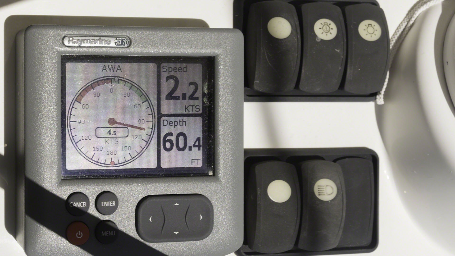 | 4726.4 |
| 2015/02/14 | 18.32°N 64.62°W | The Bight, Norman Island BVI | 12:30 | 14:00 | 5.0 | An easy first sail in very light winds and no waves in the Sir Francis Drake Channel. I sailed almost all the way to my anchor spot, tacking a couple of times to get some practice in. The only downside was the amount of rust on my chain! | 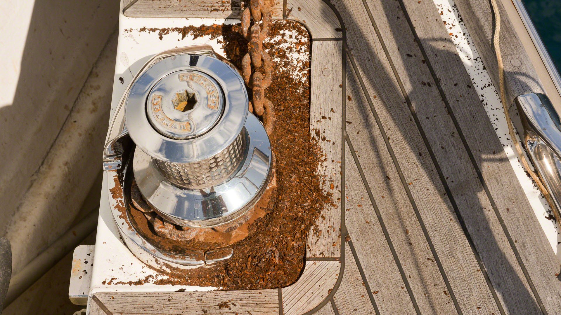 | 4700.4 |
| 2014/06/07 | 18.??°N 64.??°W | Maho Bay, St. John, USVI | 12:00 | 15:00 | 12.1 | Trip across to Cruz Bay to clear in, then back around the island to Maho Bay anchorage | 4695.4 | |
| 2014/06/05 | 18.44°N 64.74°W | Great Harbour, Jost van Dyke, BVI | 11:00 | 12:30 | 3.4 | Short downwind hop so that I can clear out at customs and immigration | 4683.3 | |
| 2014/06/02 | 18.45°N 64.72°W | Diamond Cay, Jost van Dyke, BVI | 10:00 | 12:30 | 9.7 | Short hop across to a more protected anchorage | 4679.9 | |
| 2014/06/01 | 18.42°N 64.66°W | Cane Garden Bay, Tortola, BVI | 10:30 | 13:00 | 9.7 | Crosswind sail to the anchorage to visit the night’s Elmtones show | 4670.2 | |
| 2014/05/31 | 18.44°N 64.74°W | Great Harbour, Jost van Dyke, BVI | 11:00 | 12:30 | 3.4 | Short downwind hop to the next big anchorage | 4693.5 | |
| 2014/05/28 | 18.45°N 64.72°W | Diamond Cay, Jost van Dyke, BVI | 14:30 | 17:30 | 23.2 | The whole trip was done under stratus clouds, at times with some good wind but otherwise quite light. I initially only had a bit of genoa put out, due to the rip in the leech line, but soon used all of the sail to get a bit of speed. The last 5 miles were done motor sailing because the winds had died down to less than 10 knots from behind. | 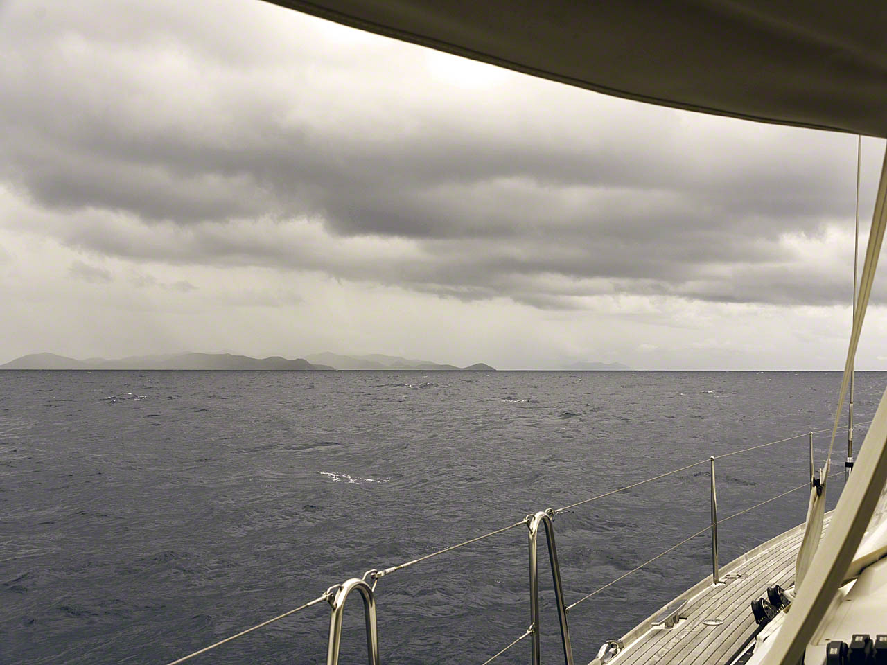 | 4690.1 |
| 2014/05/18 | 18.50°N 64.36°W | Prickly Pear, Virgin Gorda, BVI | 08:00 | 15:00 | 38.8 | The seas were calm but for a 13 second long swell from the north, and the winds varied from calm to about 15 knots and the sailing was incredibly fun, so instead of going somewhere in particular I just sailed around the windward side of Tortola, then the Dog Island and finally into the North Sound. I got a rip in the leech of my genoa sometime during the course of sailing, about a meter long, which I’ll have to repair before sailing in winds. |  | 4666.9 |
| 2014/05/16 | 18.45°N 64.72°W | Diamond Cay, Jost van Dyke, BVI | 12:30 | 15:30 | 11.2 | I departed Nanny Cay with the intent of heading across the channel to Norman Island, but then changed my mind and thought I should visit Great Harbour on Jost and ended up sailing to Diamond Cay. The winds for the downwind run were light and I only made 4 knots, but once past Soper’s Hole it was a fast 7 knot beam reach until my destination. |  | 4628.1 |
| 2014/05/12 | 18.40°N 64.64°W | Nanny Cay Marina, Tortola, BVI | 08:30 | 10:00 | 4.2 | A short motor across the Sir Francis Drake channel took me to my day’s destination (at the dock for the first time in over 5 months!) at Nanny Cay Marina. | 4616.9 | |
| 2014/05/11 | 18.36°N 64.58 °W | Great Harbour, Peter Island, BVI | 14:30 | 17:30 | 19.2 | I only had the engine on to weigh anchor and to motor into the anchor and the rest of the trip was a downwind sail, parts of it on a beam reach. Winds were mixed in heavy overcast and slight rain, I was doing either 4 knots or 8 knots and little in between, most of the time at 4 knots. I changed my destination at last minute to Peter Island and had to anchor in 40 feet, descending to 50 feet and used over 200 feet chain in expectation that the dark clouds I see on the horizon would herald winds and more rain. | 4612.7 | |
| 2014/05/11 | 18.50°N 64.36°W | Prickly Pear, North Sound, BVI | 04:00 | 04:30 | 2.0 | I awoke to a faint sound that reminded me of boots walking across gravel and realized that the rudder, right behind my head when sleeping, had scraped across the bottom and I realized that the wind must have shifted and I was too close to shore. I rushed above and the wind had indeed shifted by 90° and I was very close to the beach. I turned on the engine and motored forward so that my swings wouldn’t have me touch the bottom and debated shortening chain as the wind had died down, but I ended up weighing anchor and relocating to the other side of Prickly Pear where there were no moorings to complicate my anchoring in the dark night. I was soon attached to the bottom again close to the Sand Box in 15 feet of water. | 4593.5 | |
| 2014/05/09 | 18.50°N 64.36°W | Prickly Pear, North Sound, BVI | 08:30 | 10:30 | 2.5 | I motored across to clear into the BVI at Gun Creek and then relocated to anchor off Prickly Pear closer to Saba Rock. | 4591.5 | |
| 2014/05/08 | 18.51°N 64.37°W | Prickly Pear, North Sound, BVI | 07:00 | 20:30 | 81.6 | This was another mixed sail, initially strong winds had me moving at 6-7 knots, then they died and I motorsailed most of the way, the final hours with a strong wind and, unfortunately, squalls and lighting embedded in a low stratus layer. Luckily the radar and chart plotter were sufficient since visibility was low in the rain. | 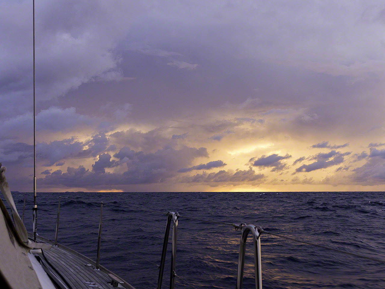 | 4589.0 |
| 2014/05/06 | 18.11°N 63.06°W | Grand Case, St. Martin FWI | 07:30 | 10:30 | 18.7 | Dead calm conditions in the morning had me motor across to St. Martin; part of the time there was a 2 knot true West wind. Once I rounded the northern side of St. Martin I turned off the engine for the final run into Grand Case, as the wind had filled a bit. | 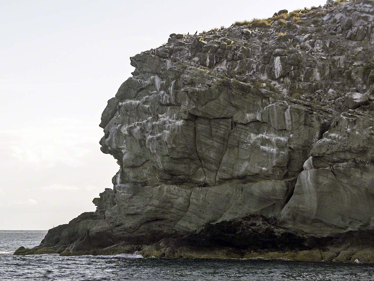 | 4507.4 |
| 2014/05/05 | 17.93°N 62.87°W | Anse Colombier, St. Barths | 07:00 | 19:00 | 76.7 | Very light conditions today made sailing untenable and I motored/motorsailed at 1500RPM most of the way from Antigua to the anchorage in St. Barths. There was still a good 1-2 meter groundswell but at times the wind ended up coming from the west rather then east. | 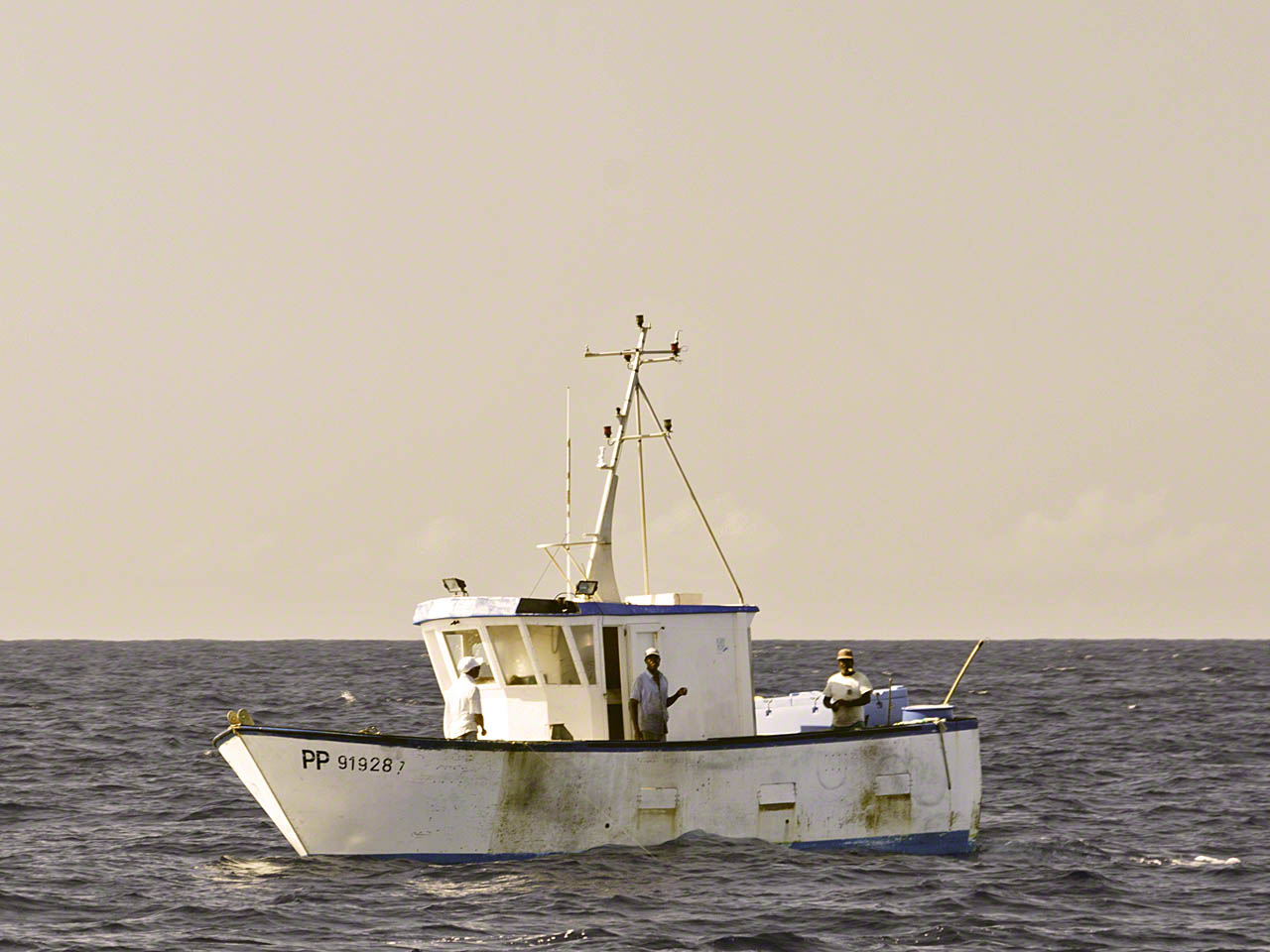 | 4488.7 |
| 2014/05/04 | 17.13°N 61.89°W | Deep Bay, Antigua & Barbuda | 15:00 | 18:30 | 18.4 | The sail on the south side of Antigua was a comfortable downwind one in light conditions with a bit of a swell coming from aft. I had thought to arrive earlier (I misjudged the distance and my speed) and arrived before dusk but with few daylight hours left. | 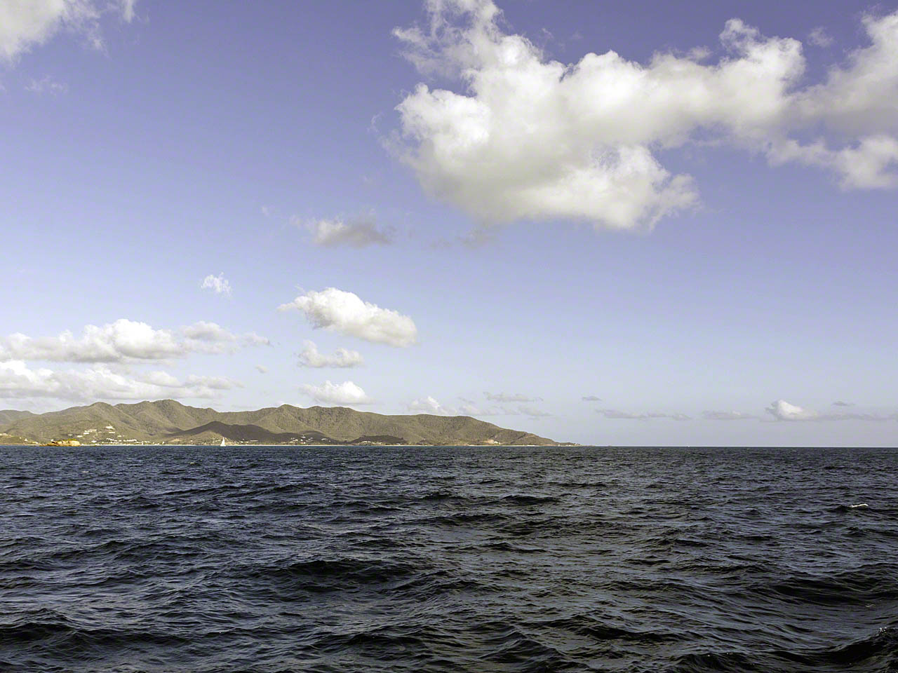 | 4412.0 |
| 2014/04/30 | 17.01°N 61.78°W | Falmouth Harbour, Antigua & Barbuda | 10:00 | 22:00 | 34.7 | This was a day trip during the lay-day of Antigua Sailing Week and I set off with Angela and Stephen for Deep Bay. Stephen helmed the boat while I did crew duties. The sail there was a nice one, but the return trip was done under engine because the winds had died down. |  | 4393.6 |
| 2014/04/22 | 17.01°N 61.78°W | Falmouth Harbour, Antigua & Barbuda | 08:00 | 14:00 | 43.2 | The first 5 miles were wind still, so I motored and the last 10 miles were with a rolly following sea so I motorsailed that as well. Apart from that the sail was nice with a 6 foot sea and winds from the beam to almost straight from behind. Although at times I was going between 9 and 10.5 knots, the trip was done at 7 knots, for the most part. The sky was overcast the whole time with stratus and nimbostratus clouds with winds around 15 knots. | 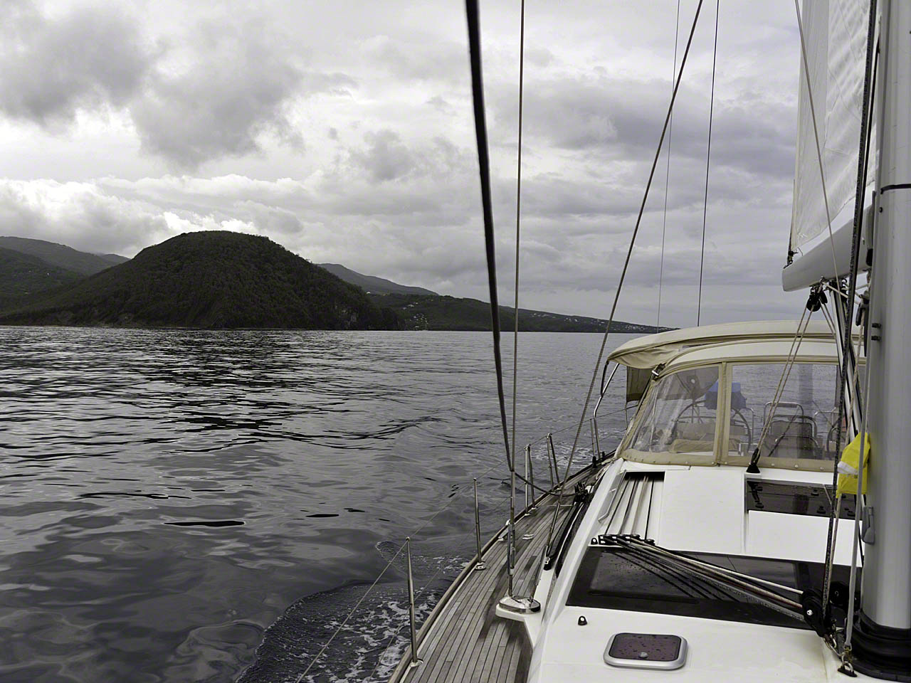 | 4358.9 |
| 2014/04/16 | 16.31°N 61.80°W | Deshaies, Guadeloupe, FWI | 11:30 | 16:00 | 18.0 | A motor sail down the coast to Pigeon Island and then a motor sail back to Deshaies made up today’s journey. The wind shifted while at Pigeon Island, so both trips were against the prevailing wind at 1500RPm and between 5 and 7 knots, depending upon the variable currents we encountered. | 4315.7 | |
| 2014/04/13 | 16.31°N 61.80°W | Deshaies, Guadeloupe, FWI | 10:30 | 17:00 | 31.9 | The first half of the trip from the Saintes to Deshaies was done with reefs in the sails and in choppy seas that the passage between the Saintes and Guadeloupe proper is renowned for and I was doing between 5 and 7 knots with occasional bouts of 9 knots. But north of Basseterre the winds died or back winded and I motored the last 3 hours at 1500RPM. | 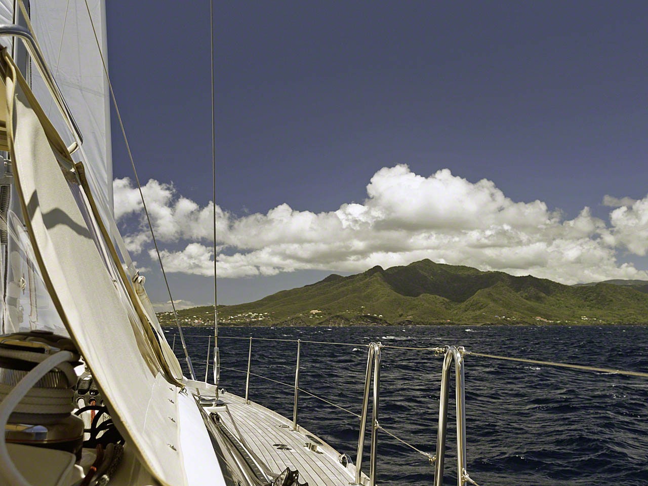 | 4297.7 |
| 2014/04/12 | 15.86°N 61.60°W | Oyster Bay, Îles des Saintes, Guadeloupe, FWI | 14:00 | 17:00 | 20.7 | Winds of 10-15 knots, seas of about 1 meter and the majority of the sail with 1 reef in both sails on a beam reach made for a wonderful sail, comfortable with little heel or sense of speed but still doing 7 and more knots and occasionally 9.5 knots! | 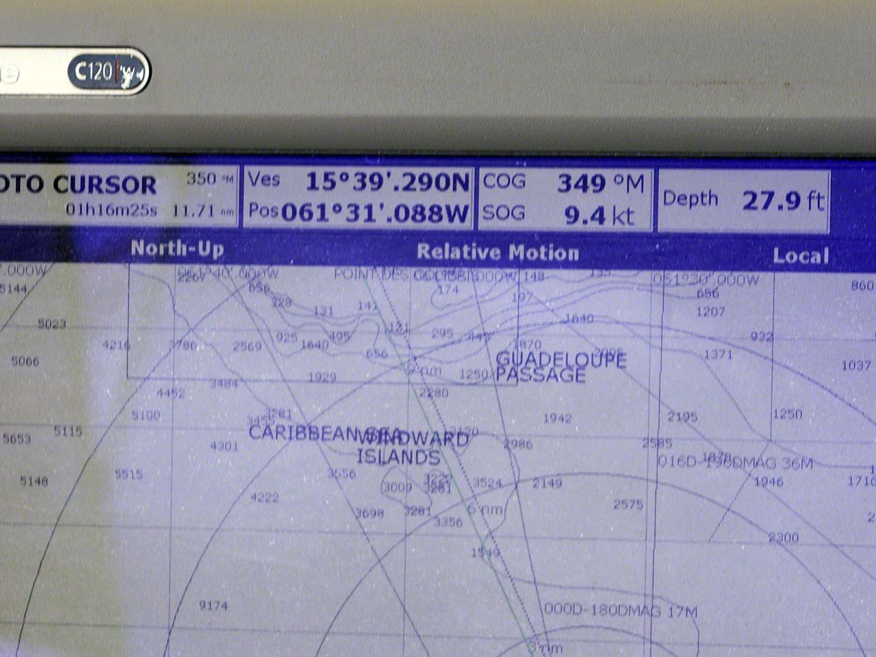 | 4265.8 |
| 2014/04/04 | 15.58°N 61.46°W | Portsmouth, Dominica | 08:30 | 11:30 | 20.7 | The seas were pretty calm, so the passage was quite fast with 10-15 knots of wind initially but then it piped up and I went from full sails to 2 mainsail reefs and 1 on the genoa and was still doing 7-8 knots. It was a wonderful sail, the kind one likes to remember! | 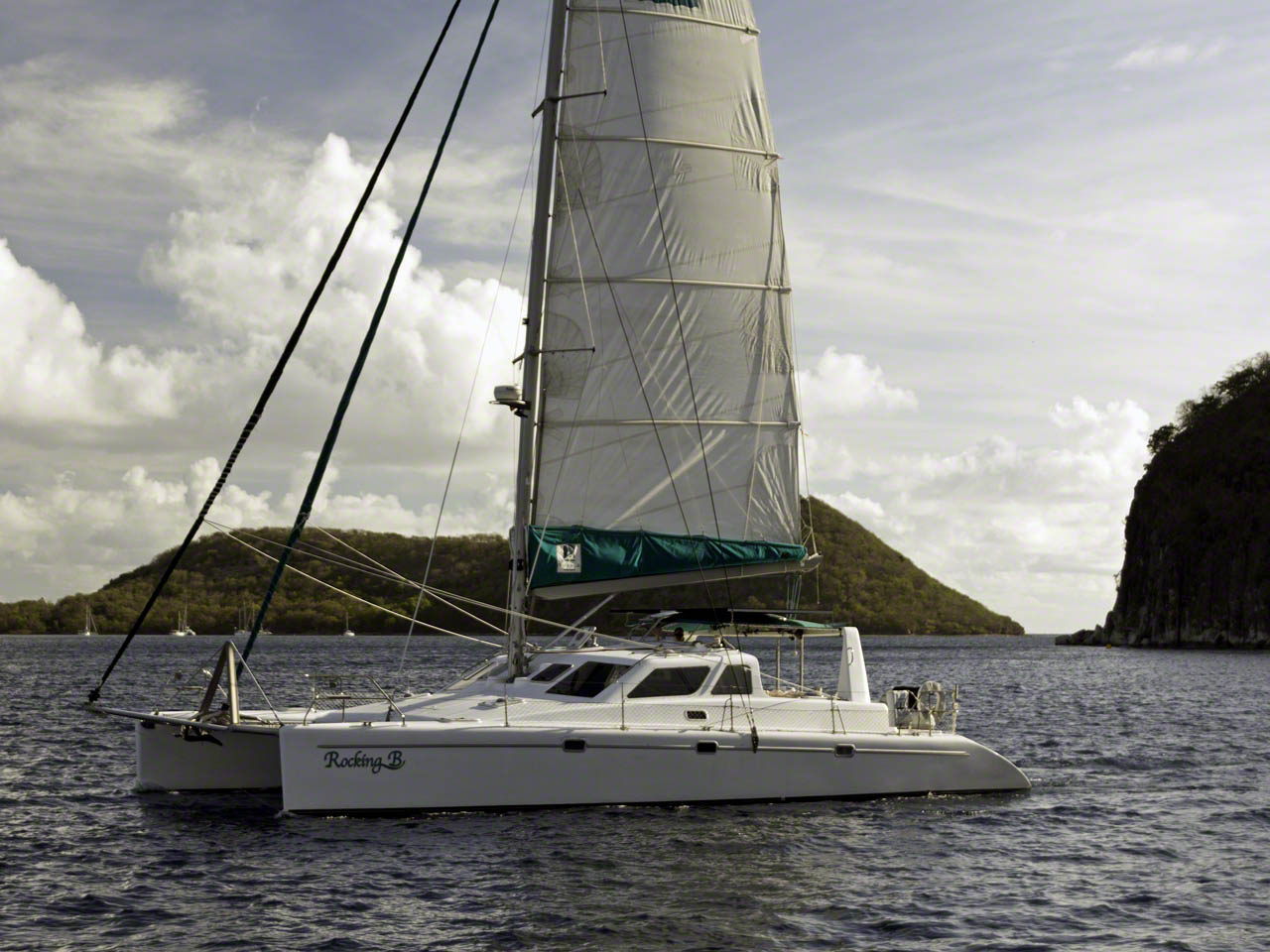 | 4245.1 |
| 2014/03/31 | 15.86°N 61.60°W | Oyster Bay, Îles des Saintes, Guadeloupe, FWI | 13:00 | 18:30 | 35.2 | In mixed conditions, initially back winded on the lee side of Guadeloupe, then no wind and finally normal wind gusting to 25+ knots with some fine fast sailing (2 reefs main, 1 reef genoa) and doing between 7 and 9 knots I tacked upwind to the Saintes. The swell was about 1 meter, so the sailing was a lot of fun without being strenuous. | 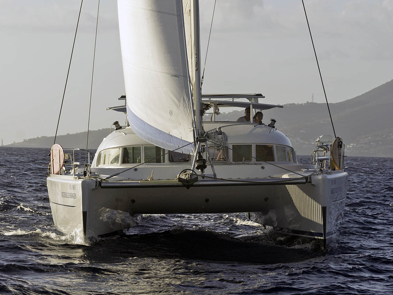 | 4224.4 |
| 2014/03/30 | 16.18°N 61.78°W | Pigeon Island, Guadeloupe, FWI | 12:30 | 14:30 | 9.6 | In mixed conditions including back winding in the lee side of Guadeloupe I slowly sailed / motorsailed down the coat to Pigeon Island. | 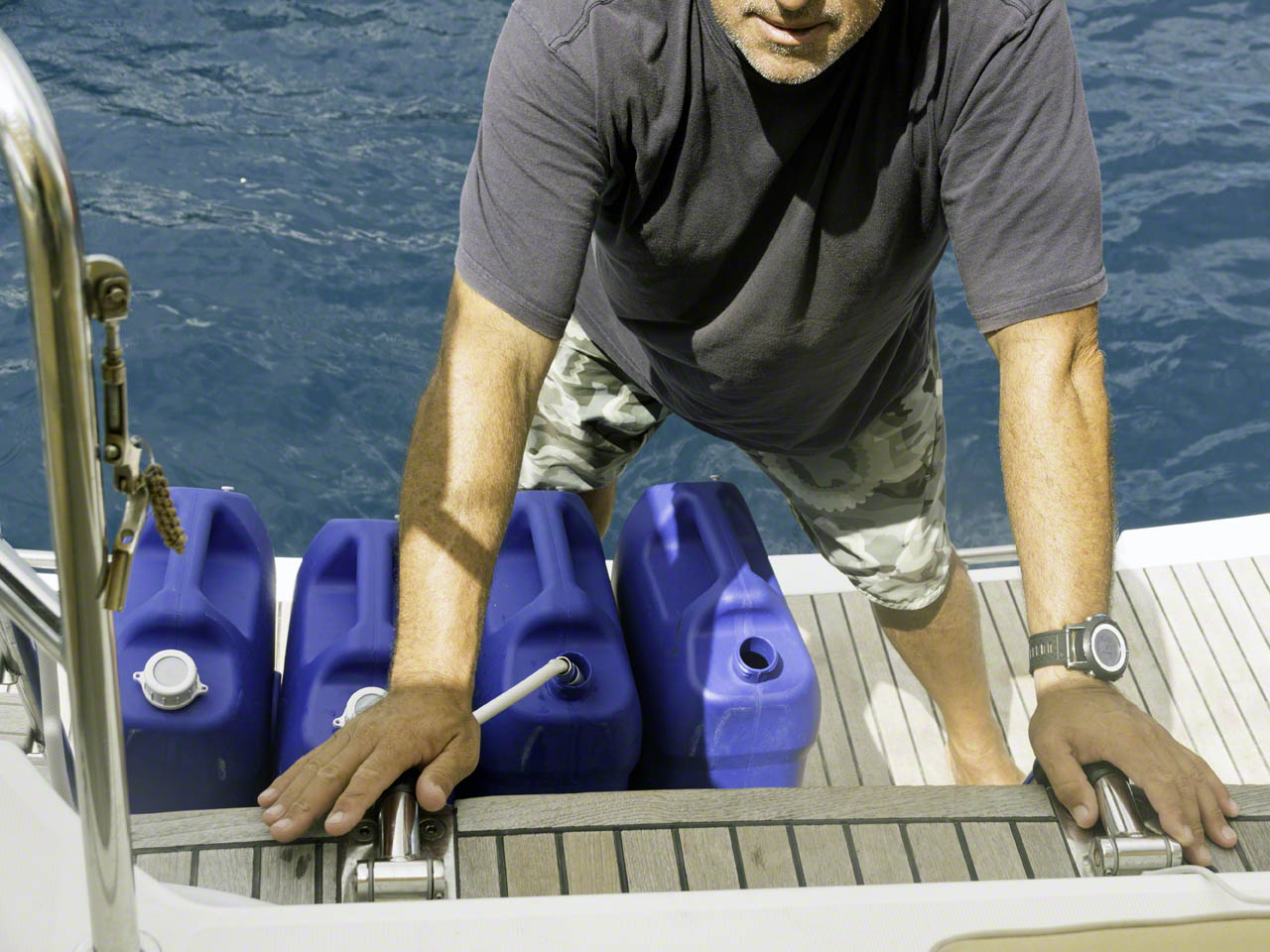 | 4189.2 |
| 2014/03/23 | 16.31°N 61.80°W | Deshaies, Guadeloupe, FWI | 06:30 | 18:30 | 80.1 | While much of the trip was done close hauled, it was nice with no developed seas and winds of about 15 knots. The leeward side of Montserrat had strong mixed waves and winds of 20+ knots, but that was only 2 hours of the trip. | 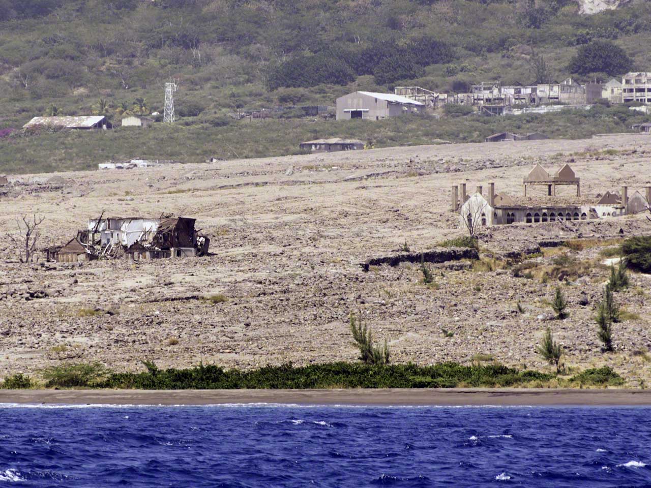 | 4179.6 |
| 2014/03/19 | 17.16°N 62.63°W | Pinney’s Beach, St. Kitts & Nevis | 12:00 | 14:00 | 11.4 | The seas were still calm and winds shifting and variable between 5 and 12 knots so the short sail past The Narrows was a fun one and I at first had a reef in the genoa which I unfurled quickly. Parts of the trip were at 9 knots and others at 3 knots so the overall average wasn’t great, but it was still a fun sail. | 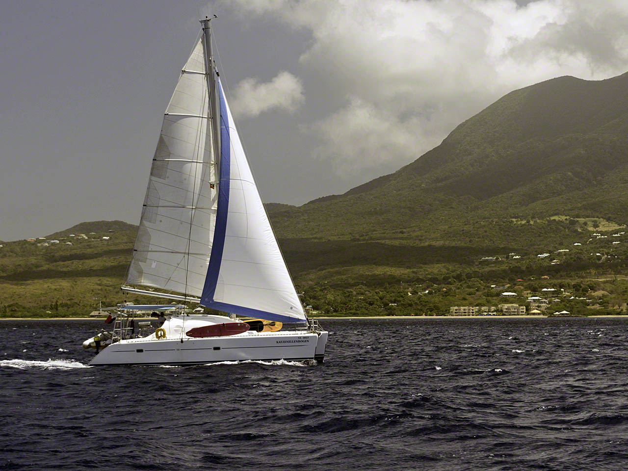 | 4099.5 |
| 2014/03/19 | 17.25°N 62.66°W | White House Bay, St. Kitts & Nevis | 11:00 | 18:30 | 60.0 | The winds were good for a single straight line from St. Barths to the headland of St. Kitts with 5-10° of wind angle to spare. The winds were 15 knots and hardly any waves or swell so the sail was a very comfortable one and despite having 2 reefs in the main and one in the genoa I averaged 7 knots. Once around the headland of St. Kitts the wind was on the nose and after trying to tack, then motor sail without success I dropped sails and did the last 10 miles under engine alone at 2000RPM to make it to the anchorage before dark. | 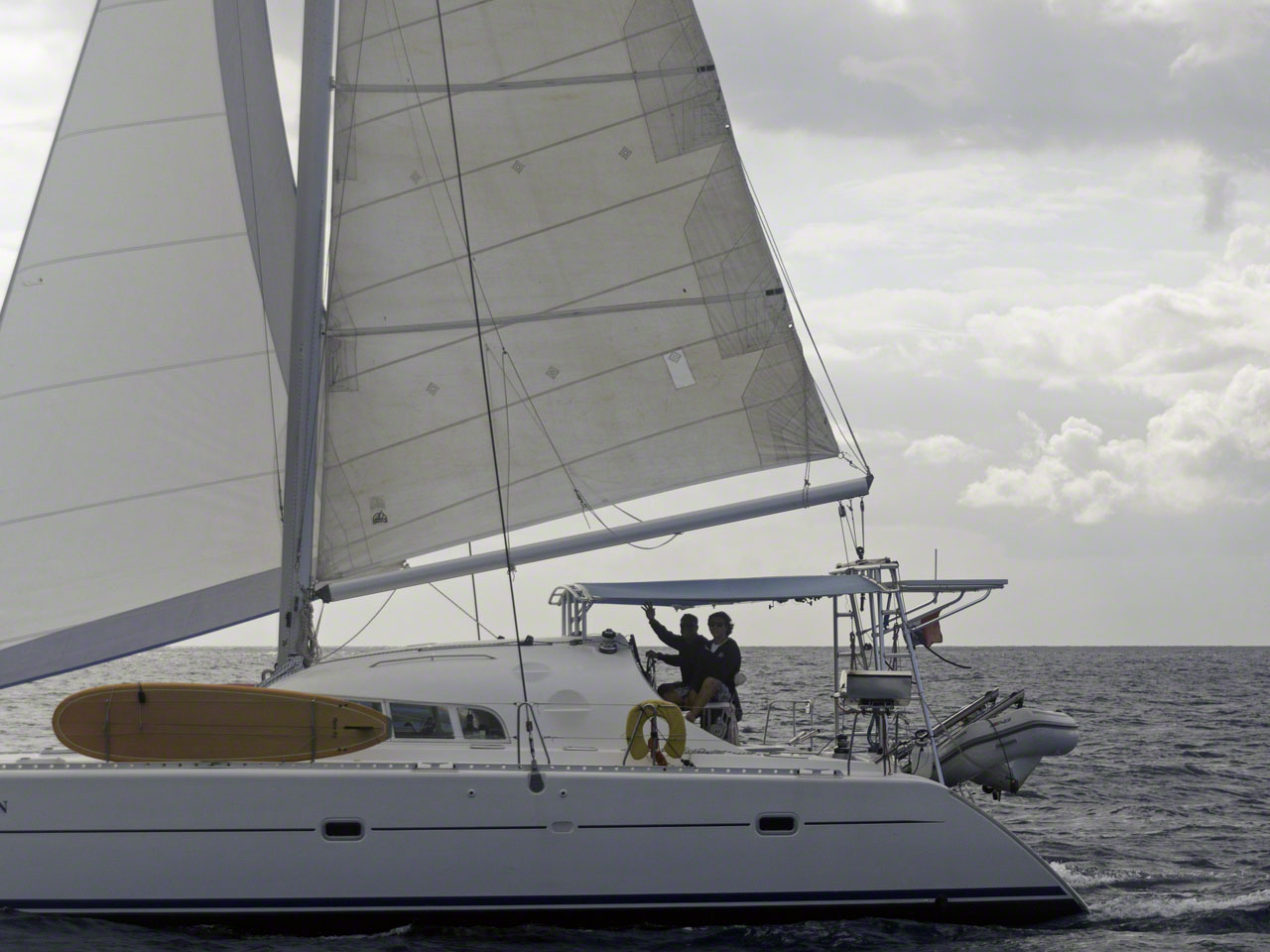 | 4088.1 |
| 2014/03/15 | 17.93°N 62.87°W | Anse Colombier, St. Barths | 11:00 | 16:00 | 8.4 | A fast beam reach sail to Gustavia in 12 knots and then a genoa slow sail back to Anse Colombier after finishing clearance formalities complete today’s sailing. | 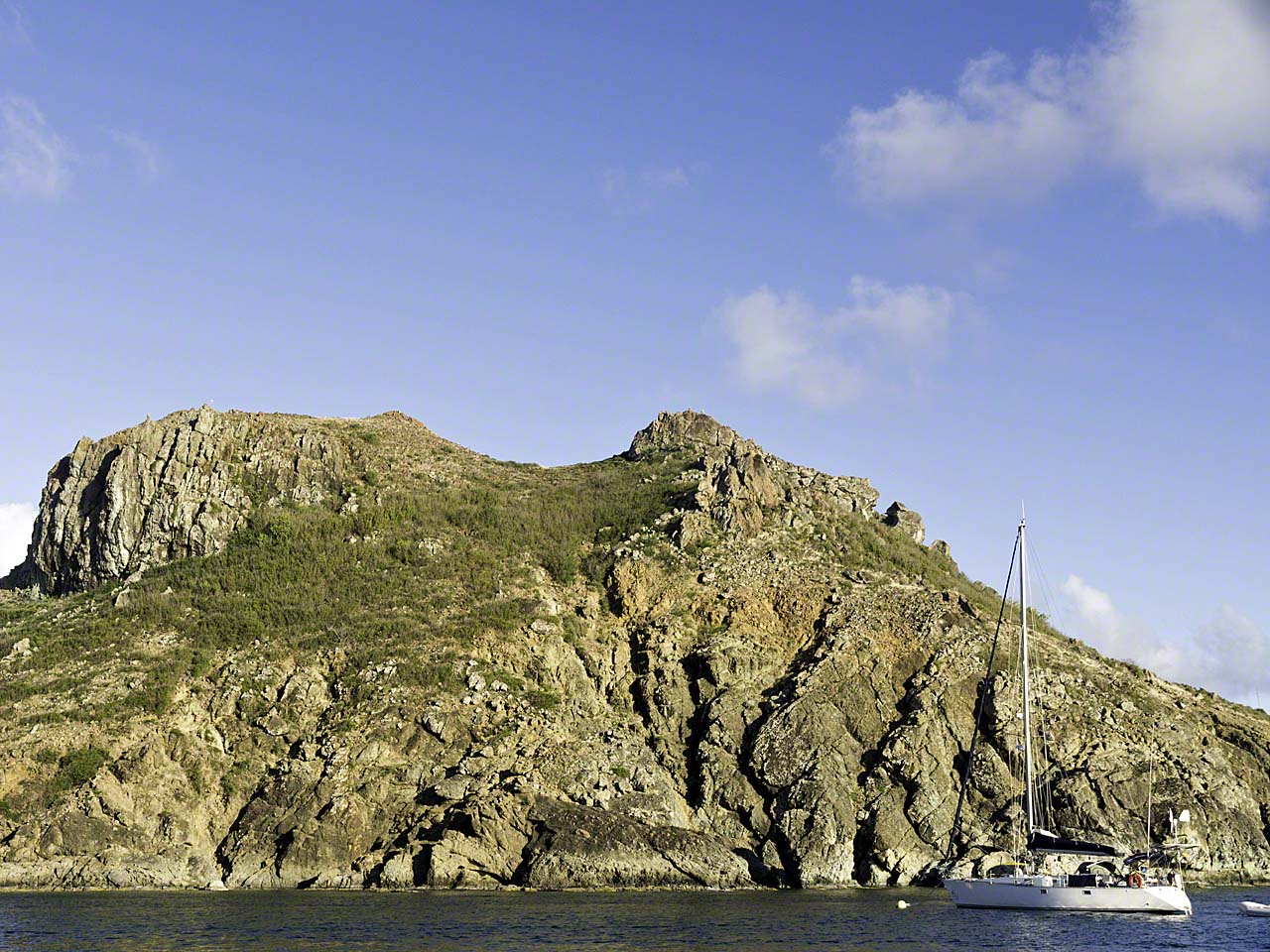 | 4028.1 |
| 2014/03/14 | 17.96°N 62.91°W | Île Fourchue, St. Barths | 11:00 | 16:00 | 24.8 | Today’s sail would have been shorter if I hadn’t lost my dinghy and not noticed it until I was a couple of miles further. I backtracked and picked it up, drifting at sea, and then sailed with a couple of tacks to the anchorage at Île Fourchue. Light winds of 10 knots and light seas made for a fast sail. | 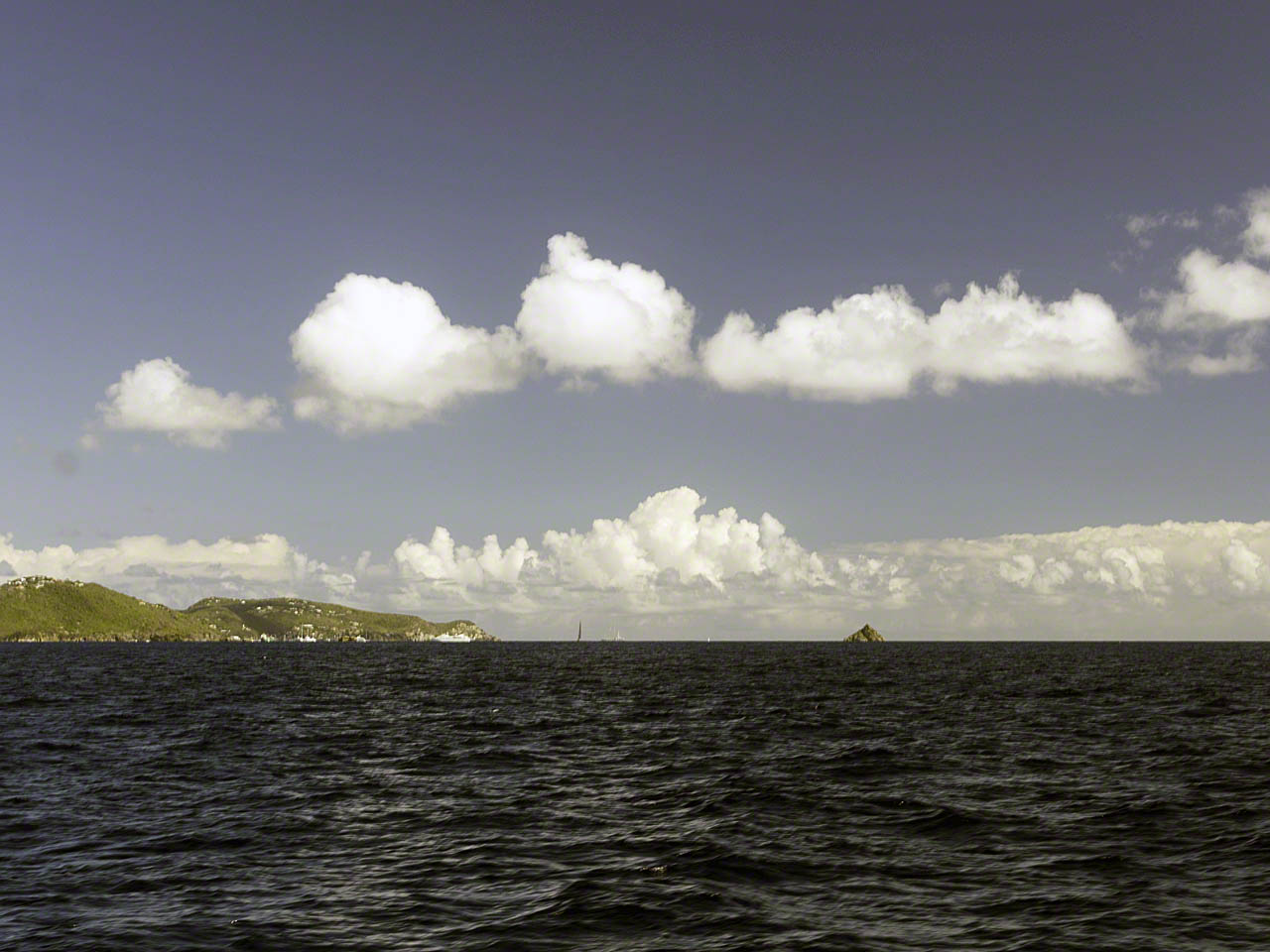 | 4019.8 |
| 2014/03/05 | 18.07°N 63.09°W | Simpson Bay, Sint Maarten | 10:00 | 12:30 | 13.5 | Sail to the Dutch side, mostly downwind and fast and the last couple of miles tacking back upwind into the shelter of Simpson Bay. 15 knots of wind and no waves made for a great sail with only one reef in each sail. | 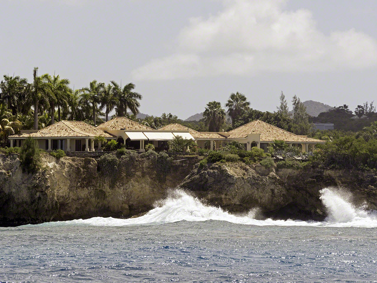 | 3994.9 |
| 2014/02/28 | 18.11°N 63.06°W | Grand Case, St. Martin FWI | 07:00 | 10:30 | 25.8 | Sail back to Marigot with a good stiff breeze and comfortable seas. I wasn’t feeling great otherwise I would really have enjoyed this great sail. Winds at 15 knots just aft of abeam and I believe I spotted my first whales spouts, just no whales. After the doctor visit I motorsailed to Grand Case from Marigot with just the genoa up. | 3981.4 | |
| 2014/02/27 | 17.92°N 62.87°W | Gustavia, St. Barths | 08:00 | 09:00 | 5.4 | Short motor hop from Colombier to Gustavia. | 3955.6 | |
| 2014/02/24 | 17.93°N 62.87°W | Anse Colombier, St. Barths | 09:00 | 16:30 | 9.2 | The first part was a sail to Gustavia on St. Barths, close hauled with a reef in both sails and I had to tack once to gain entrance. After anchoring, clearing in, and re-anchoring I opted to head to Colombier for a quieter anchorage spot and sailed downwind with just the genoa to get there. | 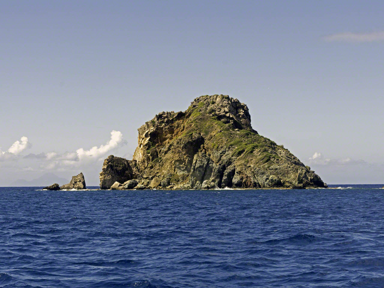 | 3950.2 |
| 2014/02/23 | 17.96°N 62.91°W | Île Fourchue, St. Barths | 01:00 | 04:30 | 23.8 | Winds of 18-25 knots made this a bit of an uphill trip, tacking up the Anguilla channel until past Tintamarre and then for a final direct run with sheets close hauled. The developed seas made for a bit of a roller coaster, but it was exhilarating to be sailing offshore once again. | 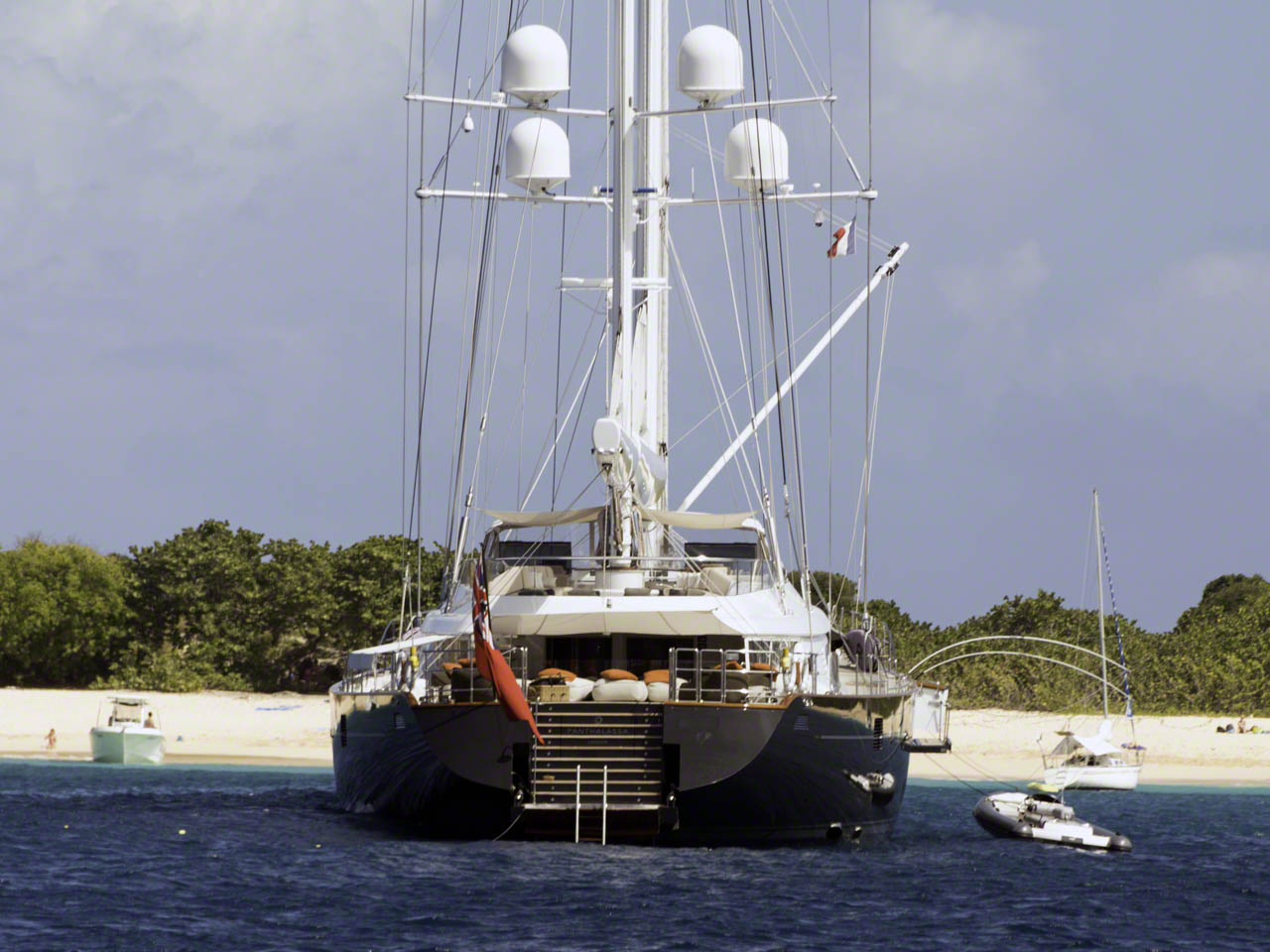 | 3941.0 |
| 2014/02/21 | 18.11°N 63.06°W | Grand Case, St. Martin FWI | 02:00 | 03:00 | 4.0 | A quick sail under motor alone to the anchorage in Grand Case | 3917.2 | |
| 2014/02/17 | 18.07°N 63.09°W | Marigot, St. Martin FWI | 01:30 | 02:30 | 4.0 | A quick sail under motor alone to the anchorage in Marigot | 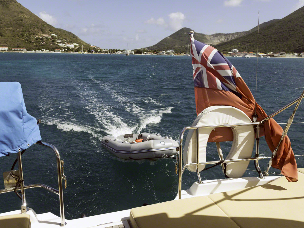 | 3913.2 |
| 2014/02/15 | 18.11°N 63.06°W | Grand Case, St. Martin | 01:30 | 14:00 | 5.2 | Under just the genoa I sailed downwind back to Grand Case with just one little intentional jibe | 3909.2 | |
| 2014/02/14 | 18.12N 62.99°W | Île Tintamarre, St. Martin FWI | 11:00 | 12:30 | 10.2 | I was called to sail by Carmen and Bernd on Mau and spent an hour and half getting the boat ready to sail again, then had a fun upwind sail to Île Tintamarre with some good speeds and got all the decks salty again. | 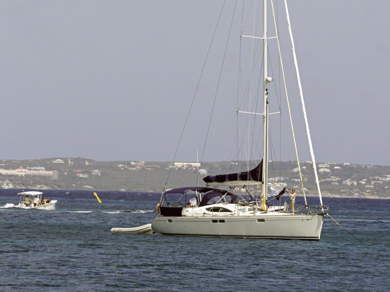 | 3904.0 |
| 2014/01/19 | 18.11°N 63.06°W | Grand Case, St. Martin | 01:00 | 14:00 | 81.7 | I had set my alarm for 03:00 but woke up at 12:30am so decided I might as well get underway earlier. I motored out and past the islands of Neckar on my port and Prickly Pear on my right with a cloudless sky and bright moon and then pointed at the distant destination of St. Martin only to see that the wind was dead on the nose, so I didn’t bother putting up any sails at all and just plodded on through at 1900-2000 RPM on the engine tachometer and about 6.5 average speed, including the occasional slam and commensurate slowdown. This was the first time I’d ever purely motored and also my quickest St. Martin passage. | 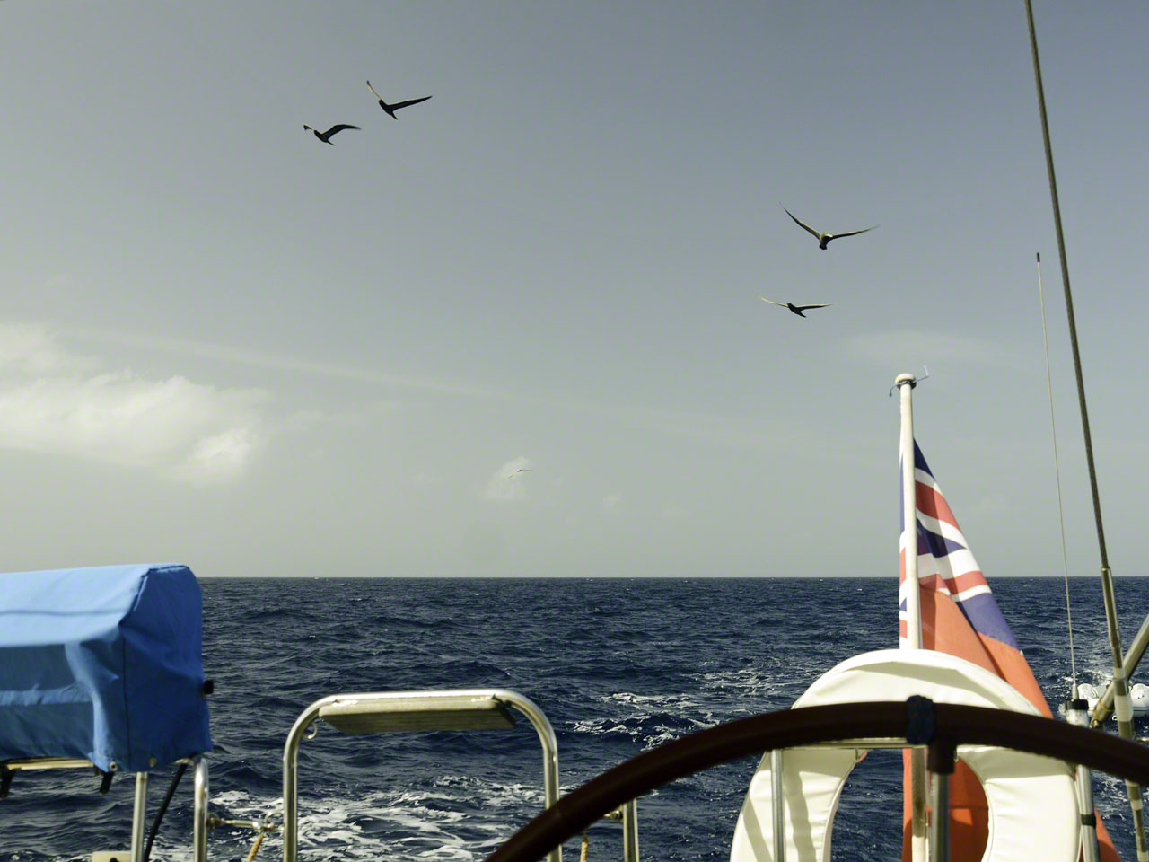 | 3893.8 |
| 2014/01/18 | 18.50°N 64.38°W | Leverick Bay, North Sound, BVI | 10:30 | 12:00 | 2.2 | A short trip from my anchorage position at Leverick to anchor outside of Gun Creek in order to clear out of the BVI and then back to the Leverick Bay anchorage. | 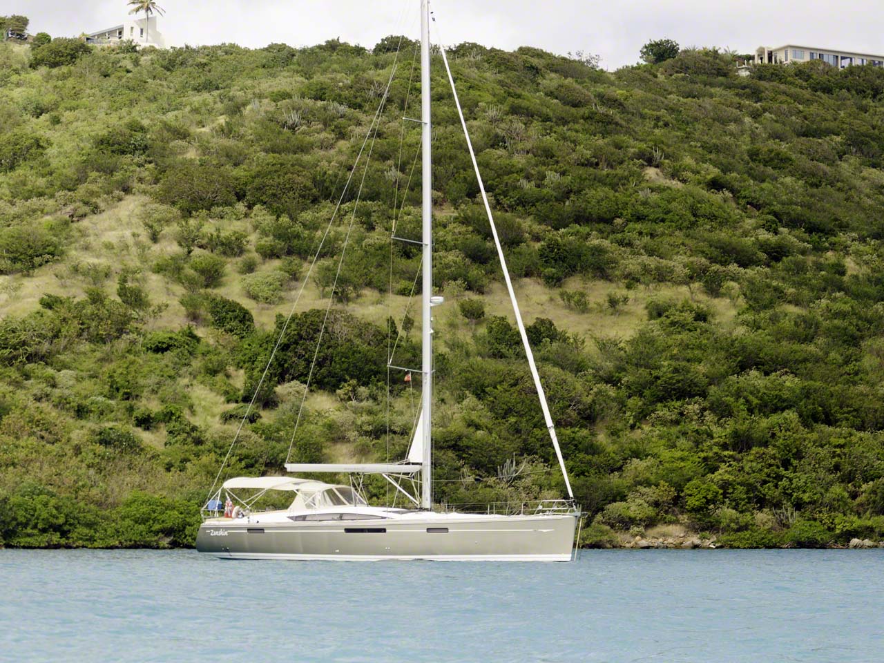 | 3812.1 |
| 2014/01/16 | 18.50°N 64.39°W | Leverick Bay, North Sound, BVI | 10:00 | 16:00 | 32.8 | Probably the shortest trip to Anegada in history. I had a great sail with the wind at 90° to Anegada and then carefully motored into Pomato Point. I got out of most of the swell and anchored with 2 feet under my keel, going down to 1.7 and up to 2.3 while I swung around. I dove on the anchor it had held, but I wasn’t sure of the state of the tide and didn’t want to get stuck in there if the weather changed, so I had an espresso and then weighed anchor, tacking back to Virgin Gorda. | 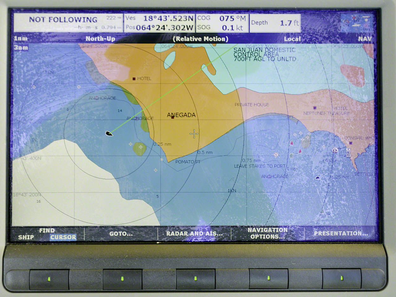 | 3809.9 |
| 2014/01/14 | 18.50°N 64.37°W | Prickly Pear, North Sound, BVI | 10:00 | 14:30 | 28.8 | While the anchorage at Guana Island was without wind, once I passed Monkey Point the winds were howling and with 3 reefs in both sails I was still making upwind speeds of over 8 knots, with over 30 knots relative wind indicated. The open seas on the north side of Tortola were also rather lumpy, so the boat took on a lot spray but it was fun, albeit long, upwind sail to the North Sound. The winds weren’t perfect for entering the channel and I was very close hauled with luffing sails on the last part of it, but I made it through without engine power nonetheless. | 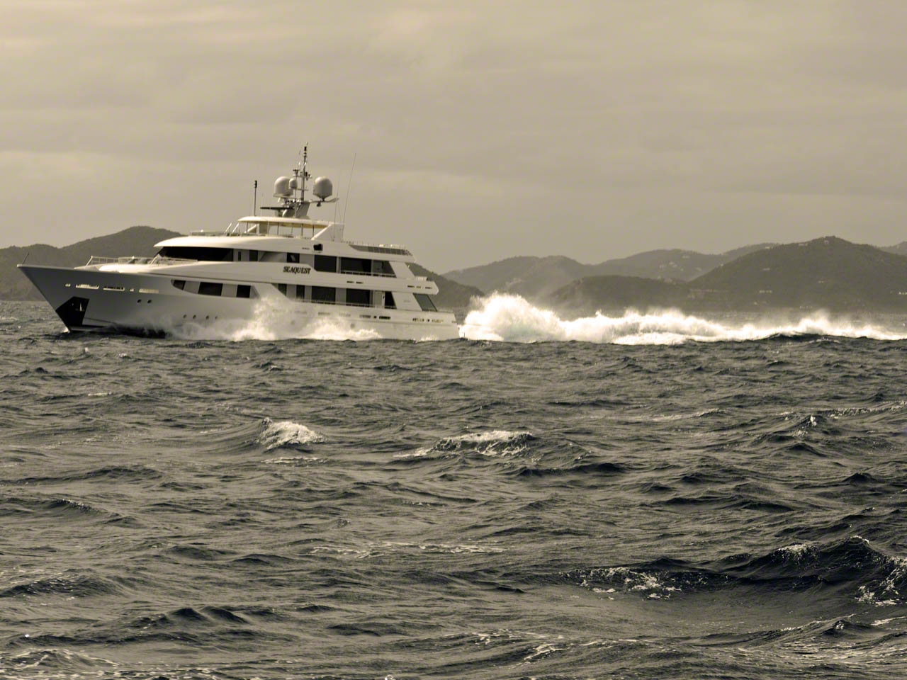 | 3777.1 |
| 2014/01/13 | 18.47°N 64.57°W | White Bay, Guana Island, BVI | 11:00 | 13:30 | 16.7 | I had originally planned on staying in Cane Garden Bay another night, but I saw the shadow of my boat and dinghy on the bottom and thought I was too close to the bottom, so instead of re-anchoring I set sail for Guana Island, a private island where one can only go to the beach. The sail was is more settled seas, but still a blast with 15-20 knots of wind and I usually was doing 8 knots (just not in the direction where I wanted to go!). | 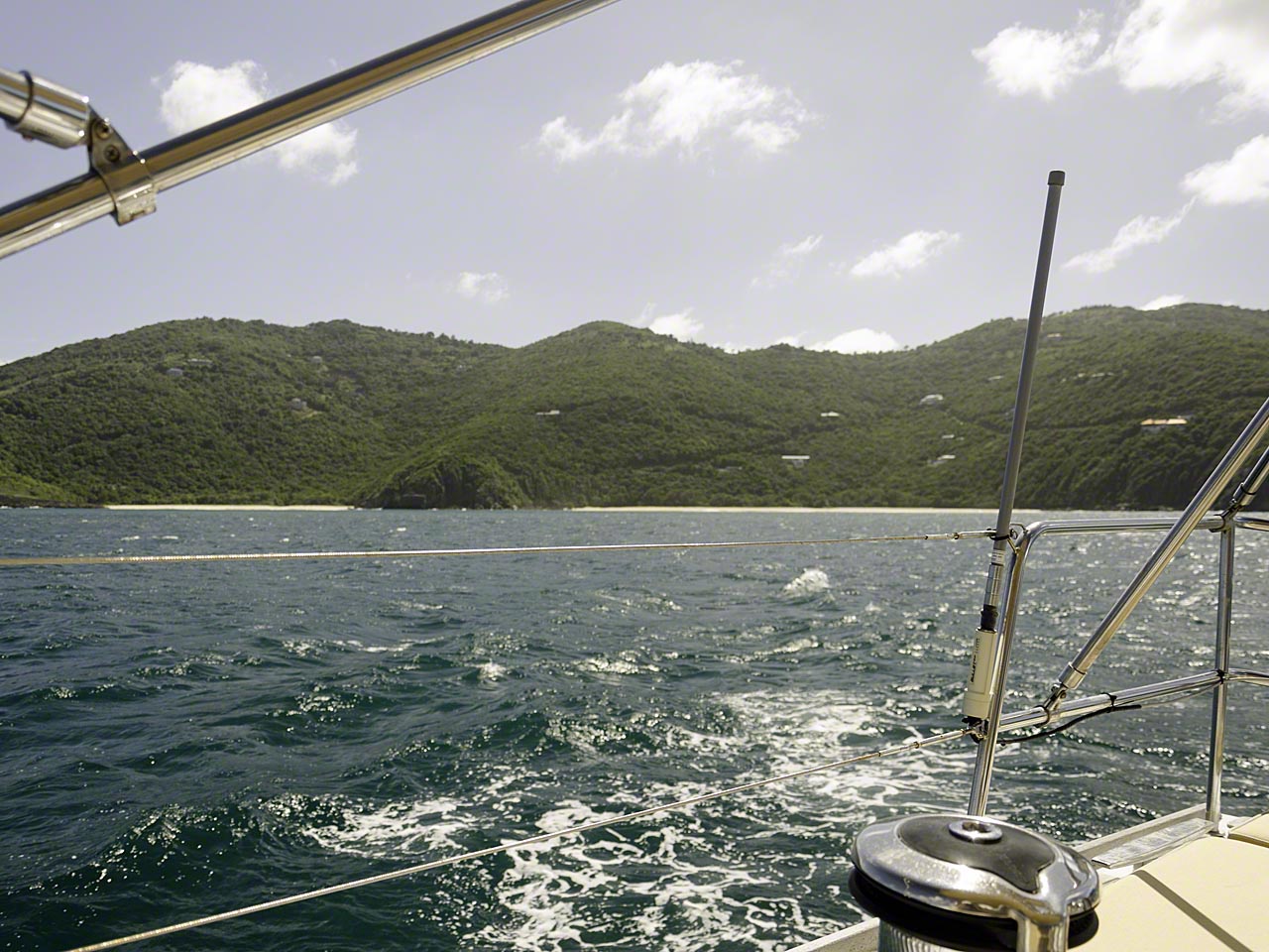 | 3748.3 |
| 2014/01/12 | 18.42°N 64.66°W | Cane Garden Bay, Tortola, BVI | 10:30 | 13:00 | 9.7 | Since Cane Garden Bay was upwind, the direct line of about 5NM couldn’t be done, the actual distance doubled despite doing just 2 tacks. It was a fun sail on the windward side with reefed main and genoa doing a comfortable 7 knots while watching all the others motor or motor sail upwind against 6 foot seas. | 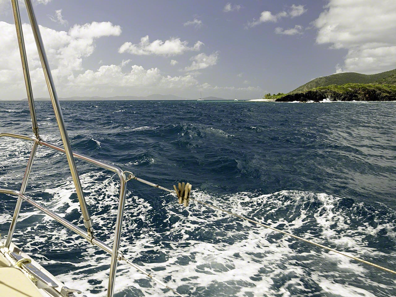 | 3731.5 |
| 2014/01/11 | 18.44°N 64.74°W | Great Harbour, Jost van Dyke, BVI | 11:00 | 12:30 | 3.4 | Just a short run with reefed mainsail and genoa tacking downwind to get to Great Harbour. It took 3 attempts this time to get the anchor to hold in outside harbour, which is par for the course in Great Harbour but rather time-consuming and frustrating. I got the anchor to hold in 40 feet and put out 200 feet of chain to make sure of holding. |
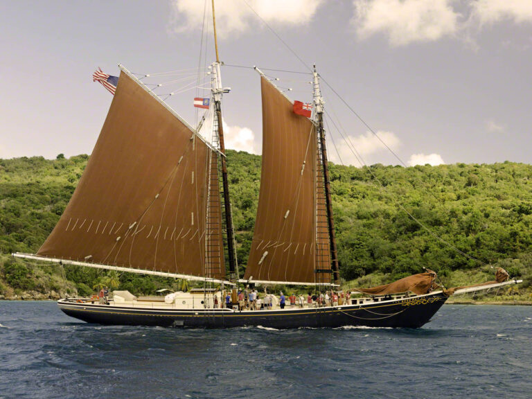
Roseway underway | 3721.8 |
| 2014/01/07 | 18.45°N 64.72°W | Diamond Cay, Jost van Dyke, BVI | 10:30 | 12:30 | 11.8 | This was basically a downhill run to Soper’s Hole with only the genoa with 2 reefs. I rolled in the sails in order to get a mooring ball and do some shopping, but they were taken so I heavily reefed the main and put 1 in the genoa for the slightly windward run to Diamond Cay. | 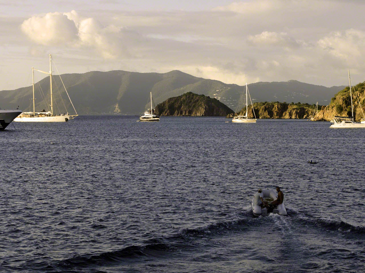 | 3718.4 |
| 2014/01/07 | 18.32°N 64.62°W | The Bight, Norman Island, BVI | 10:30 | 14:30 | 28.8 | I had originally planned on sailing dead downwind to Jost van Dyke, but changed my mind after a bit and hugged the coastline of Virgin Gorda to the Baths, then past Cooper and a jibe towards Road Town before entering the Bight on Norman after a comfortable downwind sail averaging some impressive speeds despite reefs in main and genoa. | 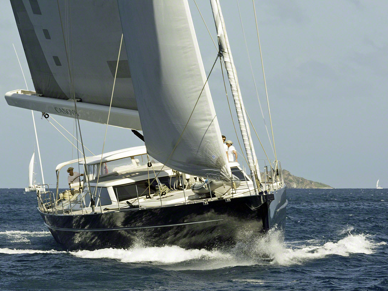 | 3706.6 |
| 2014/01/03 | 18.40°N 64.63°W | Leverick Bay, Virgin Gorda, BVI | 12:30 | 17:30 | 30.8 | My first sail of the season and year& with a newly repaired rudder. The winds were generally light at 10-15 knots and occasionally a bit stronger when squalls crossed overhead, so the conditions were good to test the new rudder. The repair worked well and I had a leisurely sail up the channel and west coast of Virgin Gorda, sailing all the way to my anchorage position and using only 7 tacks for the trip. | 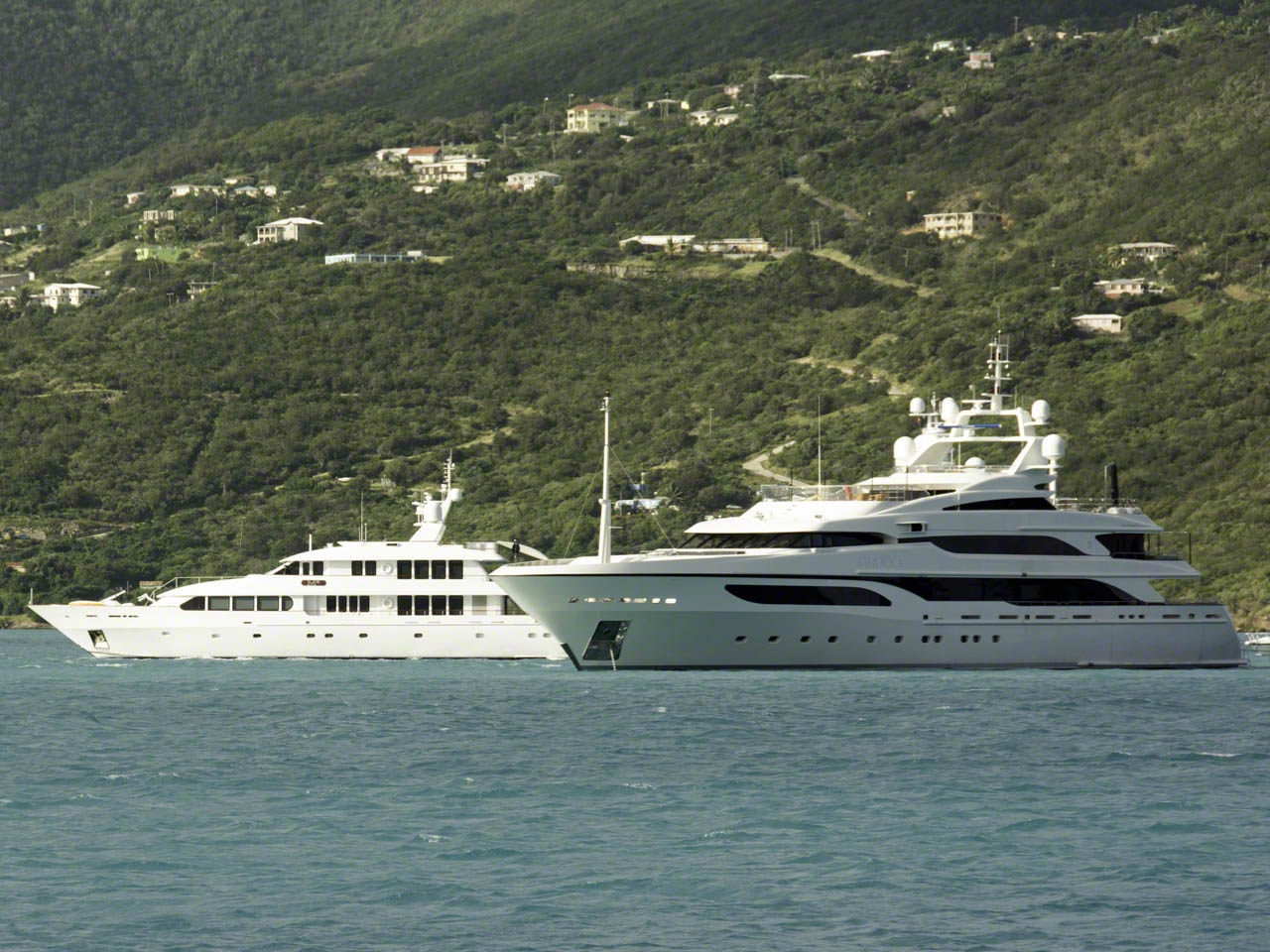 | 3677.8 |
| 2013/05/16 | 18.40°N 64.63°W | Nanny Cay, Tortola, BVI | 09:00 | 12:00 | 18.6 | A last trip for the season, the genoa was folded away, and I had the boom tied down but used the mainsail and mainly engine power for the downwind run to Nanny Cay and storage on the hard for the boat. | 3647.0 | |
| 2013/05/15 | 18.50°N 64.38°W | Leverick Bay, Virgin Gorda, BVI | 09:00 | 12:00 | 2.2 | All I did today was motor across to clear into the BVI at Gun Creek and then, after putting the dinghy into the garage and other tasks, motored from there to the dock at Leverick Bay just around the corner | 3628.4 | |
| 2013/05/14 | 18.50°N 64.37°W | Prickly Pear, Virgin Gorda, BVI | 07:00 | 19:00 | 84.4 | This was a tough voyage. The 2m swell and wind from dead aft made for a lot of rolling. I had full main with a preventer and tried several variations of wind angle and heavily reefed genoa to avoid loud sail flapping, with only moderate success. Speeds between 3 and 8 knots, average only around 6. | 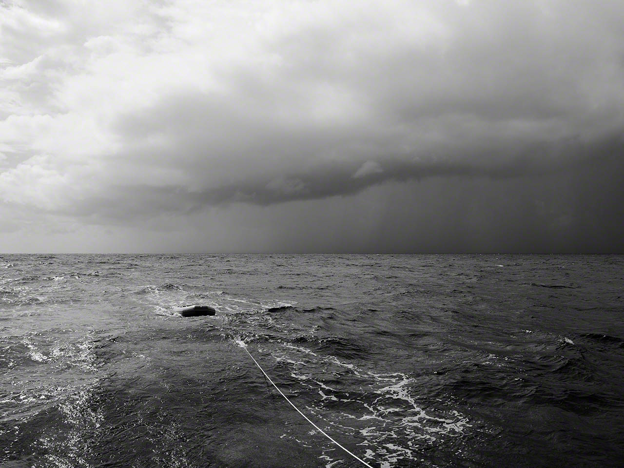 | 3626.2 |
| 2013/05/12 | 17.15°N 62.63°W | Grand Case, St. Martin, FWI | 07:30 | 19:00 | 70.0 | A mixed day, after passing through The Narrows between St. Kitts and Nevis, the wind was weak and my speed was between 5 and 3 knots (more often 3) and I didn’t think I could make St. Barths before dark, but then the wind shifted and in 10 knots of true wind on a beam reach I made it to St. Martin by dark. | 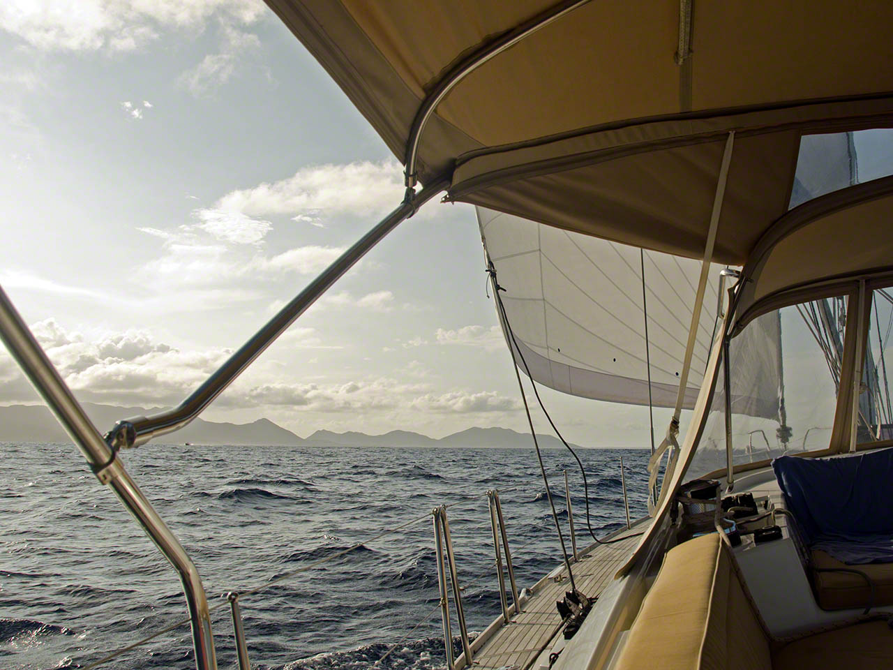 | 3541.8 |
| 2013/05/11 | 17.15°N 62.63°W | Charlestown, St. Kitts & Nevis | 10:30 | 19:00 | 55.5 | It was a long downwind sail, directly downwind in light 10 knot winds. I tried sailing a bit off the wind, then a couple of hours with preventer rigged and wing-on-wing but it certainly wasn’t a high-speed passage. Nonetheless it was a nice and relaxing trip. | 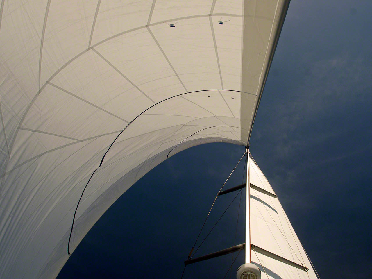 | 3401.8 |
| 2013/05/09 | 17.01°N 61.78°W | Falmouth Harbour, Antigua & Barbuda | 10:00 | 12:00 | 10.0 | I sailed back to English Harbour (where I couldn’t get my anchor to hold) and continued on to Falmouth to anchor and complete exit clearance formalities ashore. | 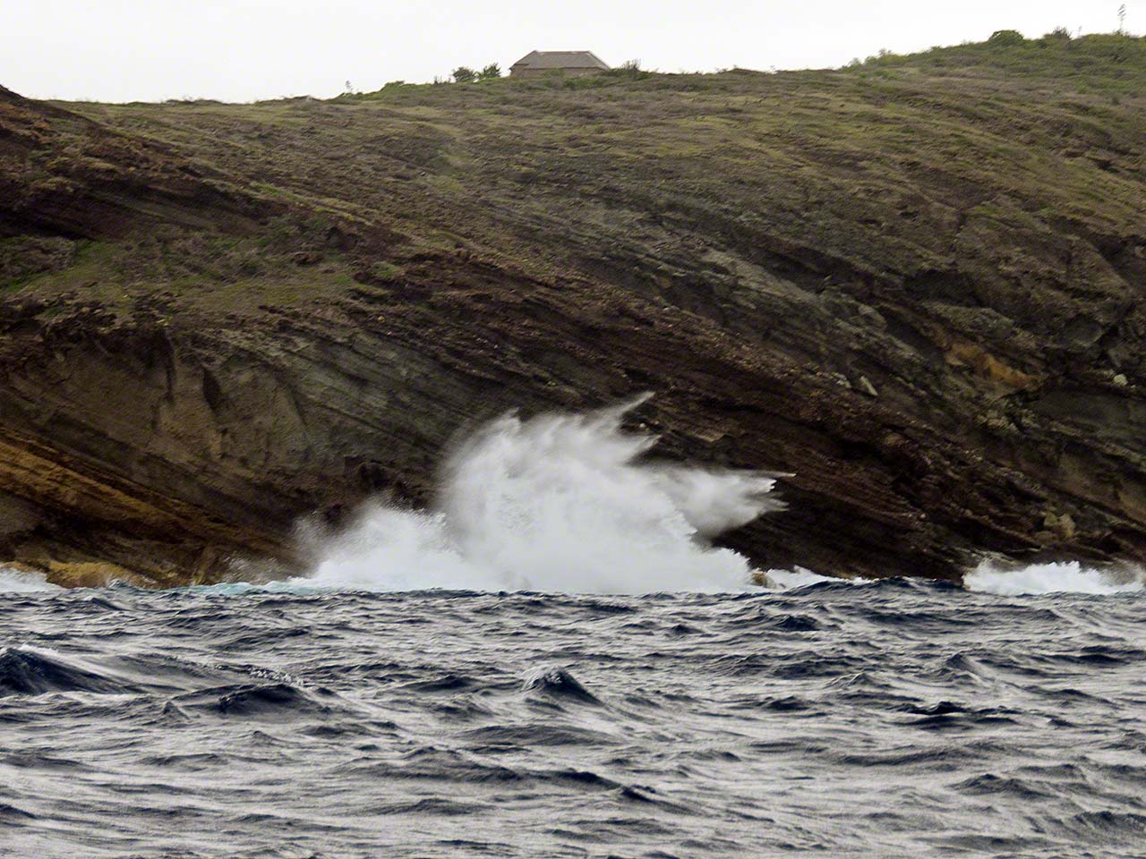 | 3346.3 |
| 2013/05/07 | 17.08°N 61.67°W | Green Island, Antigua & Barbuda | 12:00 | 21:00 | 10.8 | Today was just a one-way trip to the beautiful anchorage at Green Island. The winds were better than last time and most of the trip could be made on one tack. | 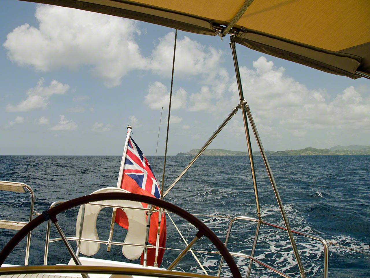 | 3336.3 |
| 2013/05/01 | 17.01°N 61.78°W | Falmouth Harbour, Antigua & Barbuda | 12:00 | 21:00 | 25.8 | A day trip from Falmouth to Green Island (against wind and waves) with 4 friends from the Antigua Sailing Week regatta for a late lunch of BBQ steak and then a motor sail return to Falmouth in the dark. | 3325.5 | |
| 2013/04/25 | 17.01°N 61.78°W | Falmouth Harbour, Antigua & Barbuda | 11:00 | 17:00 | 43.2 | A nice inter-island passage again, with one tack and moderate winds and waves making for a fast and comfortable passage. I’m glad I wasn’t racing! | 3299.7 | |
| 2013/04/23 | 16.31°N 61.80°W | Deshaies, Guadeloupe, FWI | 10:30 | 16:00 | 31.8 | Very mixed weather today, from roaring winds and waves between the Saintes and Guadeloupe, to no waves and 10 knots in the first lee section of Guadeloupe, to no wind and motoring the last 15 miles to Deshaies and a small detour to check for a missing swimmer on a Mayday Relay call. | 3256.5 | |
| 2013/04/22 | 15.88°N 61.60°W | Îlet à Cabrit, Îles des Saintes, FWI | 13:15 | 16:15 | 24.0 | I had readings of over 30kn apparent and was glad that I’d put several reefs in the main and 3 into the genoa, making the trip across comfortable despite fast speeds of over 10 knots at times. The seas were a good 2 meters as forecasted but the wind was much stronger than the 15-17 shown on WindGuru. | 3224.7 | |
| 2013/04/12 | 15.58°N 61.46°W | Portsmouth, Dominica | 11:00 | 15:00 | 22.3 | I motorsailed north and east of the island so that I could have a better approach angle to Dominica, and I made it there on a single tack, sometimes very close hauled and others with up to 20° more angle than I needed. Speeds were anywhere from 6 to 10 knots for a fun ride to Dominica. | 3200.7 | |
| 2013/04/11 | 15.87°N 61.58°W | Anse du Bourg, Îles des Saintes, FWI | 12:00 | 15:30 | 27.0 | I stayed out of the shallow parts this time, for the most part, which made the trip a bit longer but I didn’t have to concentrate as much on trying to locate the small fish-traps before they could entangle my boat. Typical trades of 15 knots from the east and seas funnelled by Marie Galante made for a choppy, but easy trip. | 3178.4 | |
| 2013/04/04 | °N °W | Marina Bas du Fort, Guadeloupe, FWI | 10:00 | 13:30 | 22.8 | The winds and waves weren’t making this last trip for my guests any better, I waited for a good window but we still spent half the sail in pouring rain and the final portion the winds had died down but I left the heavy reefs in place and motorsailed to make the least angle of heel for my unhappy crew. | 3151.4 | |
| 2013/04/03 | 15.87°N 61.58°W | Anse du Bourg, Îles des Saintes, FWI | 15:00 | 18:00 | 22.5 | The winds had settled and were no longer confusing the wave system, we had the wind on the beam for the return trip and it was an exhilarating and fast passage back to Les Saintes from Dominica. | 3128.6 | |
| 2013/04/02 | 15.58°N 61.46°W | Portsmouth, Dominica | 12:30 | 17:00 | 22.3 | The winds were blowing from the east at 20 knots with higher sustained gusts, blowing the 1.5 to 2m swell tops off. At least we could make Dominica on a single tack, but we were quite close to the wind in reefed sails and still had quite a bit of heel. This time Sophia was asleep (the seasickness medication) and only Wolfgang felt comfortable during the passage. | 3106.1 | |
| 2013/03/31 | 15.87°N 61.58°W | Anse du Bourg, Îles des Saintes, FWI | 12:00 | 15:00 | 11.7 | Instead of motoring the short distance to the Anse du Bourg anchorage, we decided to circumnavigate the Terre de Haut island and we encountered heavy-ish seas of 2m and winds around 15-20 knots, making portions of the trip difficult as we bashed into weather. | 3061.5 | |
| 2013/03/29 | 15.86°N 61.60°W | Anse à Cointe, Îles des Saintes, FWI | 12:30 | 16:00 | 24.0 | The first sail for my guests was a bit of a rough one, with all of them looking and feeling under the weather apart from Wolfgang. The seas were confused and the motion wasn’t too comfortable, with winds of only 15 knots we had reefed the sails to make the passage a bit more comfortable. Luckily the seasickness disappeared after anchoring and going ashore for a spell. | 3049.8 | |
| 2013/03/24 | 16.22°N 61.53°W | Marina Bas du Fort, Guadeloupe, FWI | 10:00 | 13:30 | 29.9 | The sail from the Saintes to Point-à-Pitre was challenging, both for the winds/waves as well as all the fish traps dotted along the shoreline. I finally tacked offshore into deep water in order to avoid getting entangled. Mediterranean moor docking wasn’t as bad as I’d feared, either. | 3025.8 | |
| 2013/03/20 | 15.87°N 61.58°W | Anse du Bourg, Îles des Saintes, FWI | 09:15 | 14:00 | 21.1 | I left the anchorage with no wind and seas like glass, then picked up 2 knots of onshore wind but that wasn’t enough so I motored (while making water and doing the laundry) for an hour and then raised full sails and made very slow progress, but I could see choppy seas ahead. Before I got there I put 3 reefs in the main and 2 in the genoa and then got hit with 25-30 knots and breaking seas with foam for the crossing to the Îles des Saintes, doing 8 knots across. | 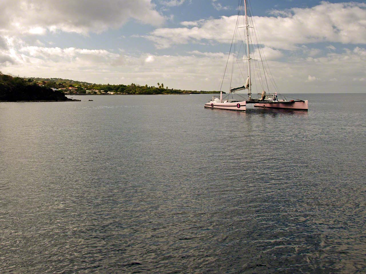 | 2995.9 |
| 2013/03/19 | 16.09°N 61.77°W | Anse à la Barque, Guadeloupe, FWI | 09:30 | 14:30 | 14.9 | The fickle winds on the leeward side of Guadeloupe made for difficult sailing as most of the time I was back winded with only 4 knots or so of wind, so I ended up motor sailing after the first hour (having travelled only 2nm) past Pigeon Island to a small anchorage just 5 miles or so north of Basseterre. | 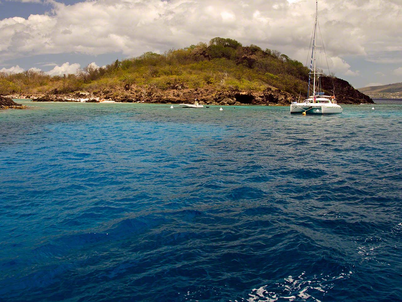 | 2974.8 |
| 2013/03/18 | 16.31°N 61.80°W | Anse Deshaies, Guadeloupe, FWI | 09:00 | 13:30 | 44.7 | Another fine passage with the relative wind coming from abeam at 10-15 knots initially and growing to over 20 knots (at which time I reefed the sails but was still doing over 9 knots). The seas were breaking a bit and rather larger than the expected 2 meter swell but the passage remained a comfortable and speedy one. | 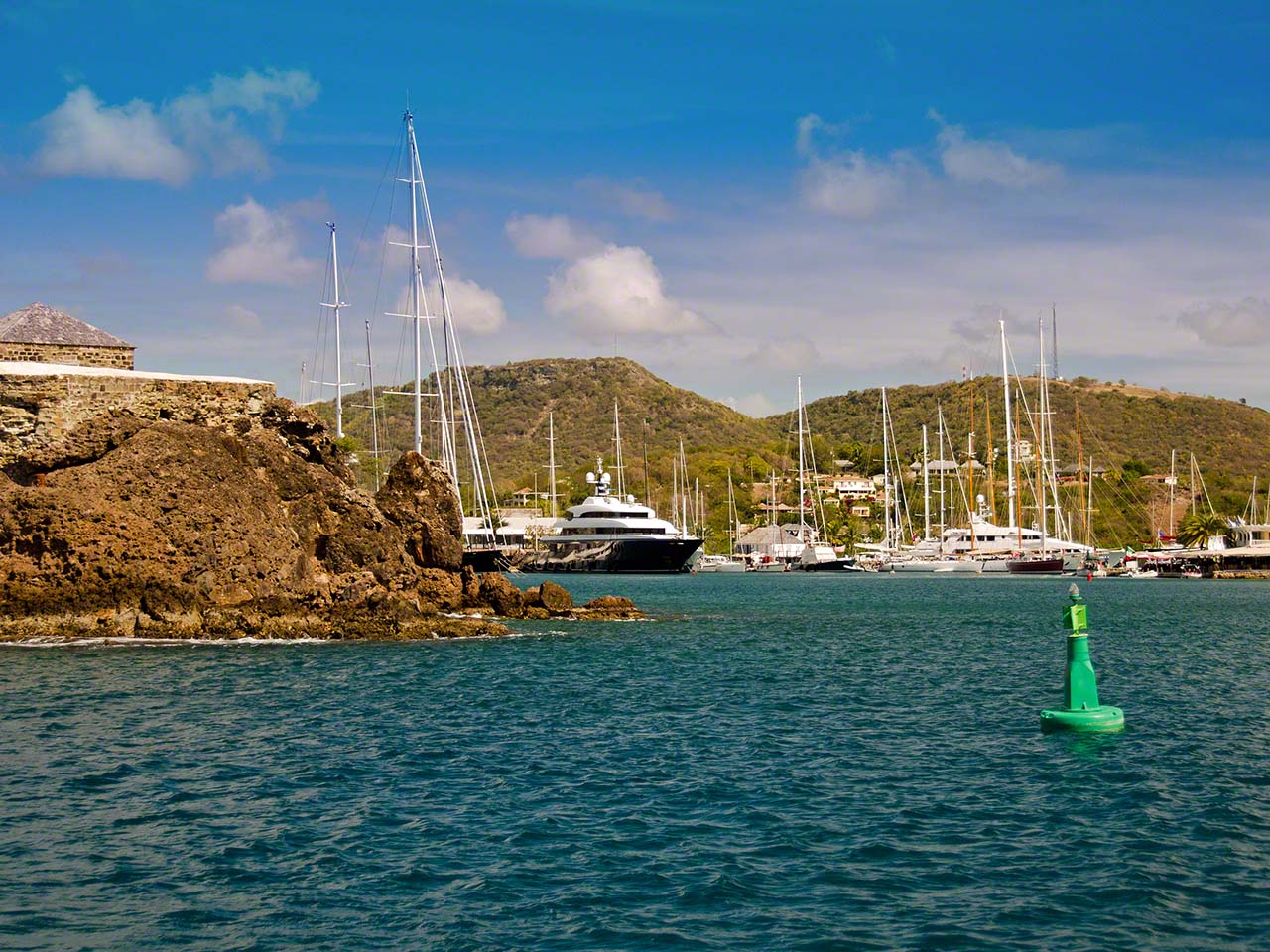 | 2959.2 |
| 2013/03/12 | 17.01°N 61.78°W | Falmouth Harbour, Antigua & Barbuda | 07:00 | 18:00 | 88.0 | This was a great and fast passage, the wind at 40° apparent and about 90° true and initially in gusty winds I was doing over 8 knots; this settled a bit over the next hours but only once, for a period of about 30 minutes, did the wind die down. During this period I motorsailed in order to the charge the batteries and make some water (plus propel the boat) and until I reached the corner of Antigua I averaged over 8 knots | 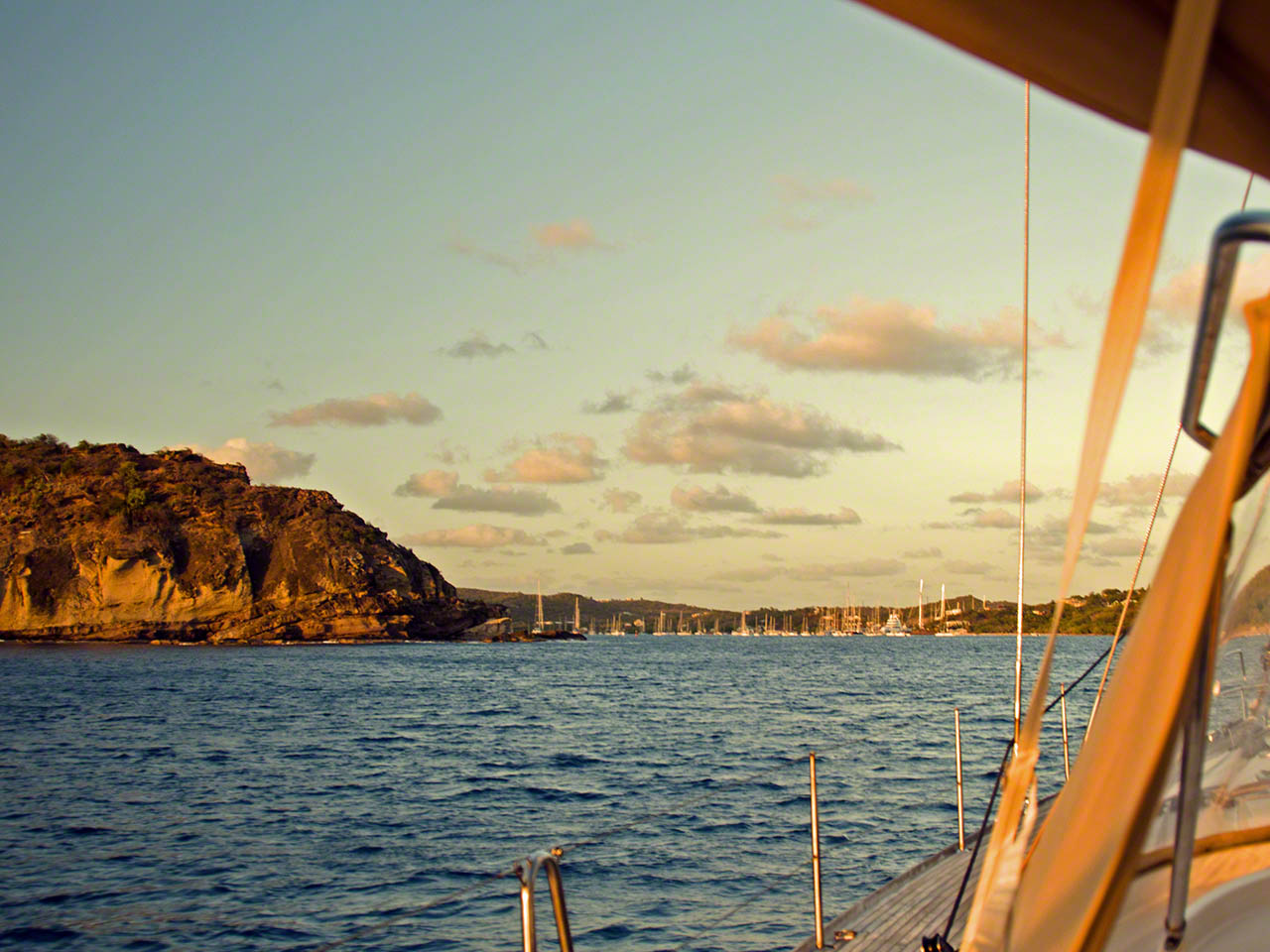 | 2915.2 |
| 2013/03/11 | 17.93°N 62.87°W | Anse Colombier, St. Barths | 10:00 | 15:00 | 7.6 | A run downwind under sail to Gustavia in order to clear into St. Barths, then motoring back upwind from Gustavia to Anse Colombier for the night. | 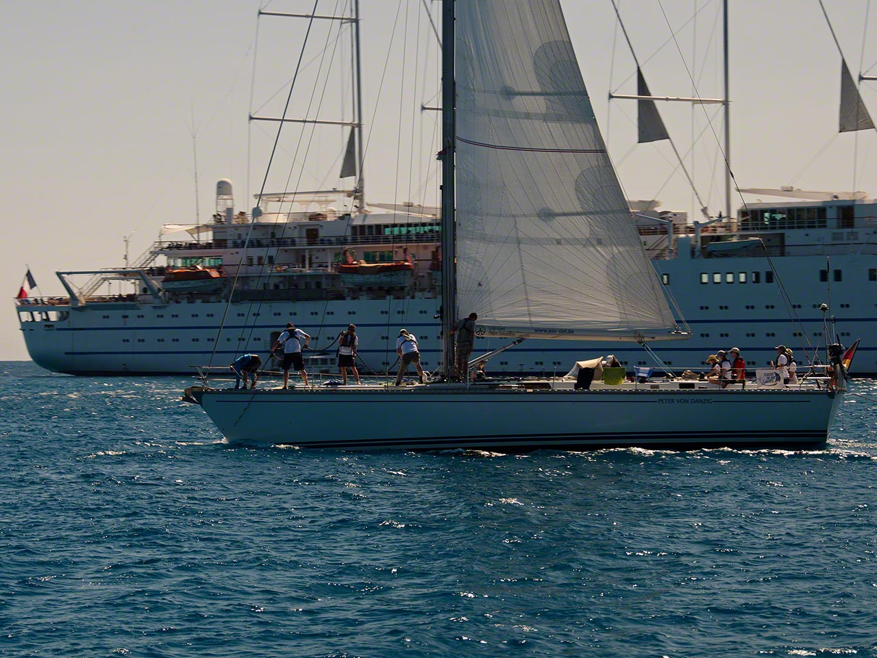 | 2827.2 |
| 2013/03/08 | 17.96°N 62.91°W | Île Fourchue, St. Barths | 10:00 | 17:00 | 16.6 | The first part of the trip was done under engine to Île Tintamarre for some diving and from there I sailed / motorsailed in light waves and light following wind to Île Fourchue. | 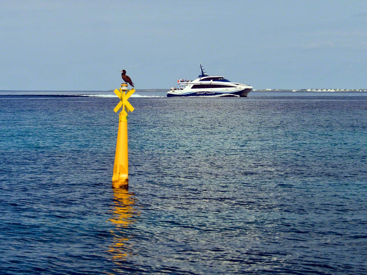 | 2819.6 |
| 2013/02/24 | 18.50°N 64.36°W | Grand Case, St. Martin, FWI | 10:00 | 12:30 | 8.1 | A round trip, under engine power alone, to Marigot in order to clear into St. Martin and then back to the same anchorage position in Grand Case after finding out that they are closed on Sundays. | 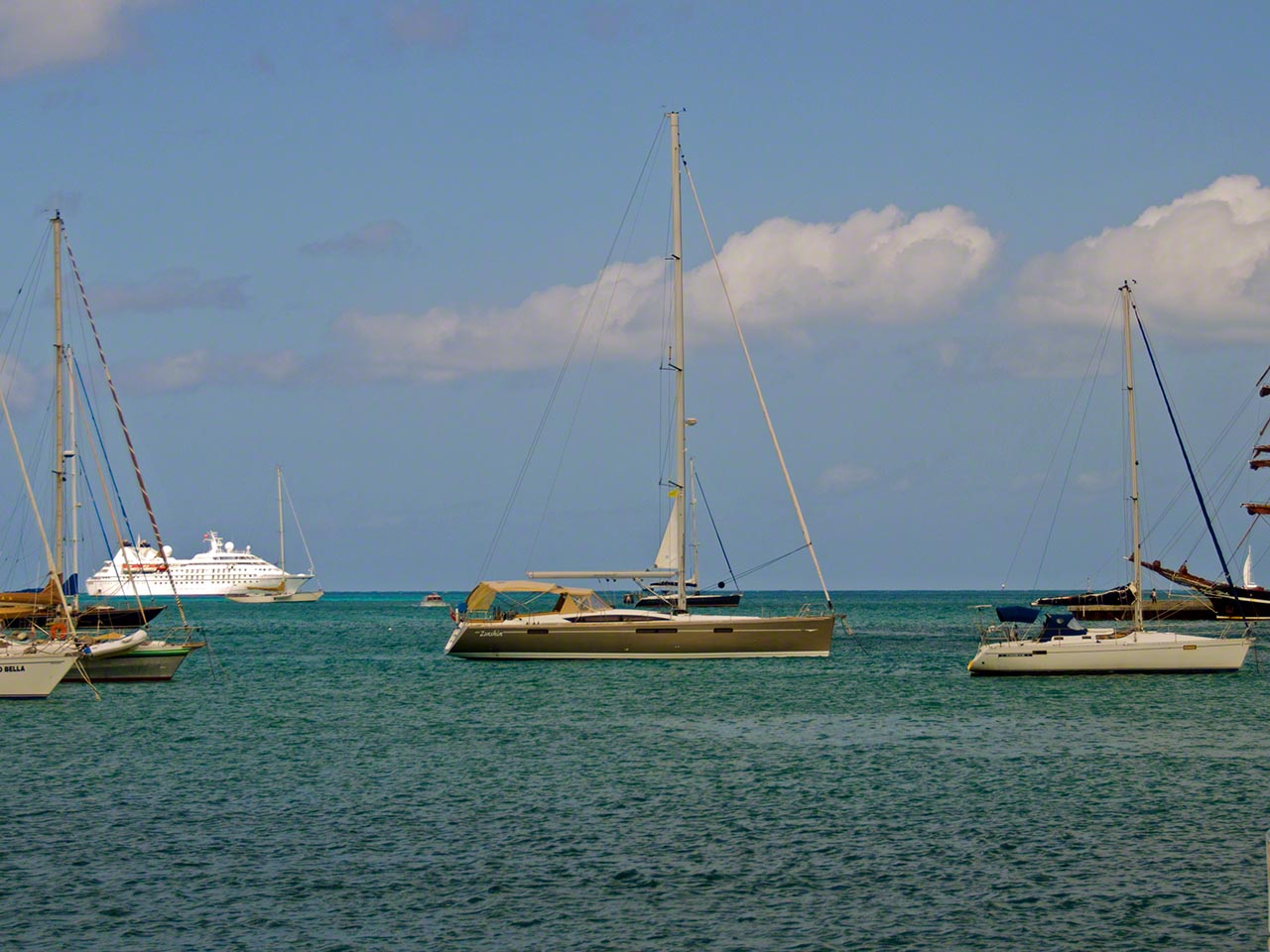 | 2803.0 |
| 2013/02/23 | 18.50°N 64.36°W | Grand Case, St. Martin, FWI | 01:00 | 16:30 | 109.4 | At first this promised to be a fast and easy passage, but changing winds and strong waves made it a rather difficult one, despite about 5 hours of motor sailing in order to keep the angle to the wind as close as possible. Winds of 15-20 knots, 2 meter waves at 12 seconds made for 8 knot boat speeds, but the VMG was quite a bit worse. | 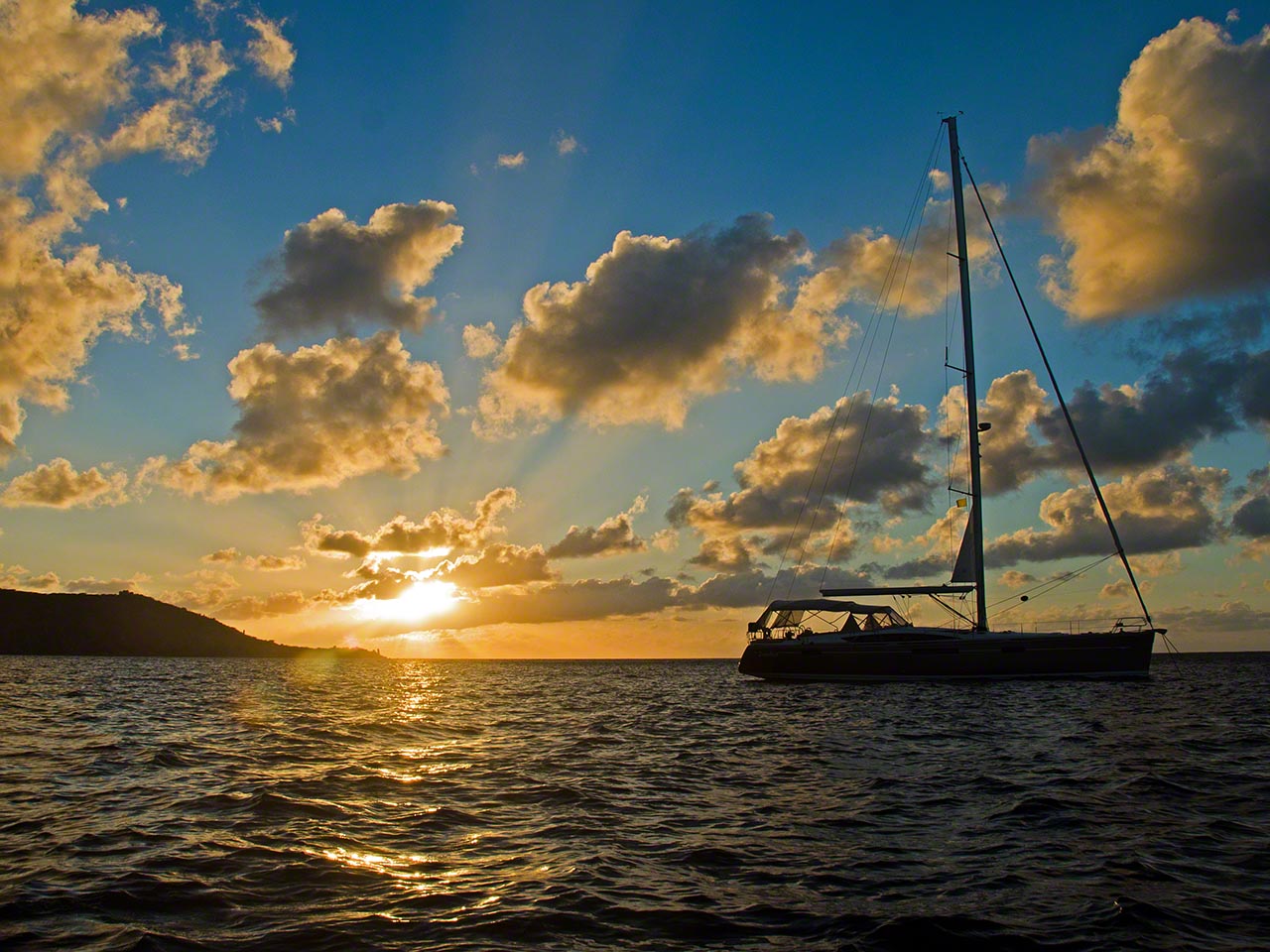 | 2794.9 |
| 2013/02/22 | 18.51°N 64.39°W | Leverick Bay North Sound, BVI | 10:00 | 14:30 | 2.3 | Not even a sail today, but pure motoring to the anchorage at Leverick Bay via a 2-hour anchor at Gun Creek in order to clear out of the BVI. At least I used the engine run time to make some water. Made the boat ready for for a midnight departure. |  | 2687.8 |
| 2013/02/21 | 18.50°N 64.36°W | Prickly Pear Island, North Sound, BVI | 10:00 | 15:30 | 26.0 | The winds came at a good angle and varied from light to 18-20 knots true. The sail to the North Sound was fun with most of the trip being done on a single tack. I had to detour a bit around a race area off Neckar Island but all in all it was a great sail (which I did without the autopilot, practicing my tacking manually). | 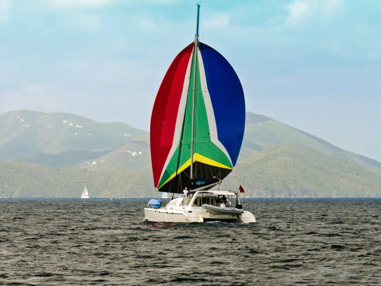 | 2685.5 |
| 2013/02/20 | 18.32°N 64.62°W | The Bight, Norman Island, BVI | 11:30 | 16:30 | 15.4 | The winds were once again a good 15 knots from the E so I initially planned on going to Peter Island but changed my mind when I enjoined a little race with a catamaran heading for The Bight on Norman Island. A fun and spirited sail. | 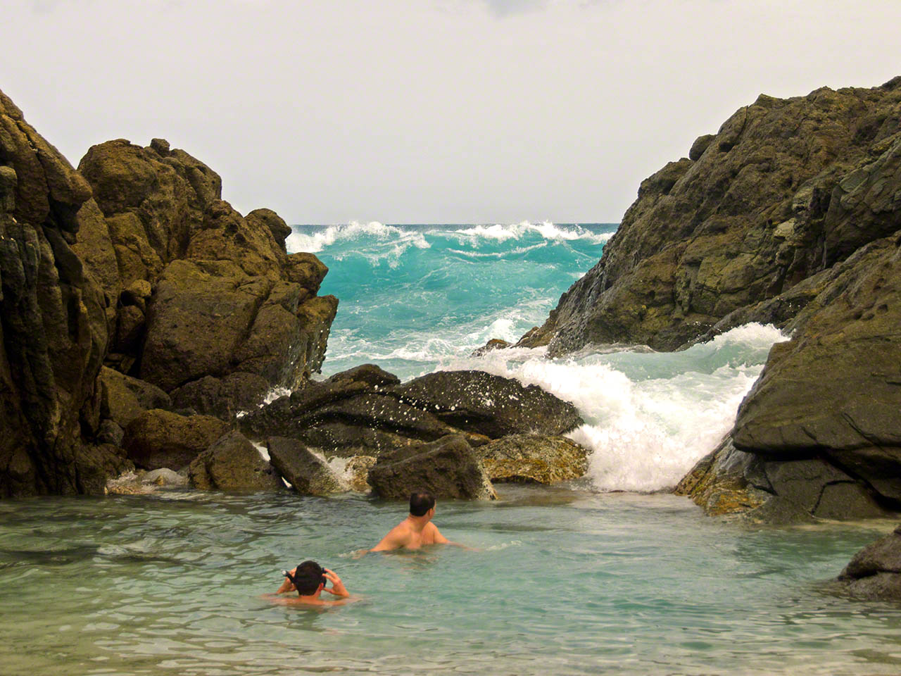 | 2659.5 |
| 2013/02/19 | 18.45°N 64.72°W | Diamond Cay, Jost van Dyke, BVI | 08:00 | 08:30 | 4.0 | After my rude awakening at 03:20 due to the north swell I waited until sunlight to depart Cane Garden Bay (amidst breakers) and motored to the more sheltered anchorage at Diamond Cay. | 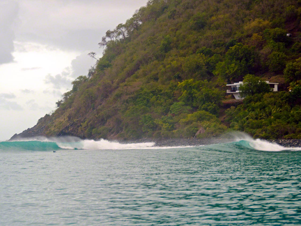 | 2644.1 |
| 2013/02/17 | 18.43°N 64.66°W | Cane Garden Bay, Tortola, BVI | 10:00 | 16:30 | 29.4 | A comfortable generally downwind sail in conditions varying from light (boat speed 2 knots) to spirited (8-9 knots). The first leg was to a dive site called Coral Gardens, but the conditions weren’t good for me so I continued the downwind sail on the inside of Tortola instead of the outside (north) side, making for a longer sail but it was a different experience and a lot of fun. | 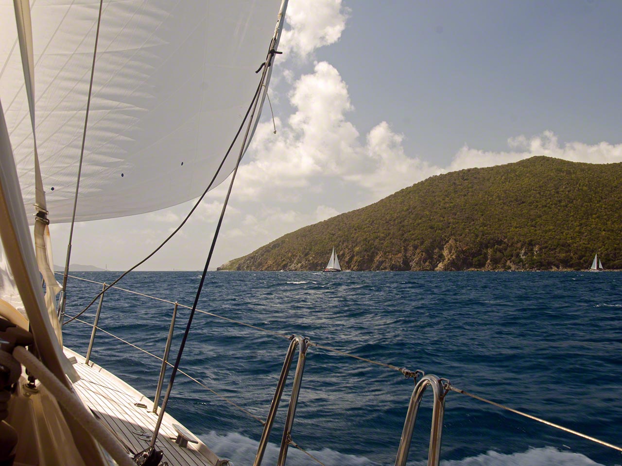 | 2640.1 |
| 2013/02/16 | 18.50°N 64.37°W | North Sound, Virgin Gorda, BVI | 10:00 | 45:00 | 8.6 | Today was a short sail to Mountain Point, outside of the North Sound, with just the genoa on a downwind run, then return with full sails in light winds after my dive and re-anchoring in almost the same position. | 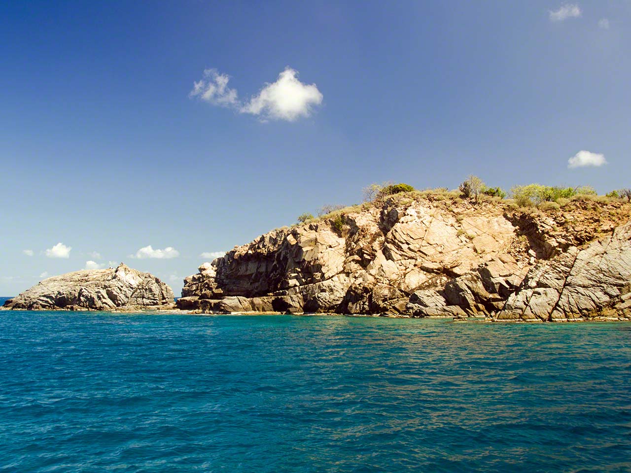 | 2610.7 |
| 2013/02/15 | 18.50°N 64.37°W | North Sound, Virgin Gorda, BVI | 10:00 | 15:30 | 28 | Fun sailing at 8-9 knots upwind with hardly any swell, first to Salt Island for a dive then from there to the North Sound, the whole stretch from Salt to Neckar was on one tack. | 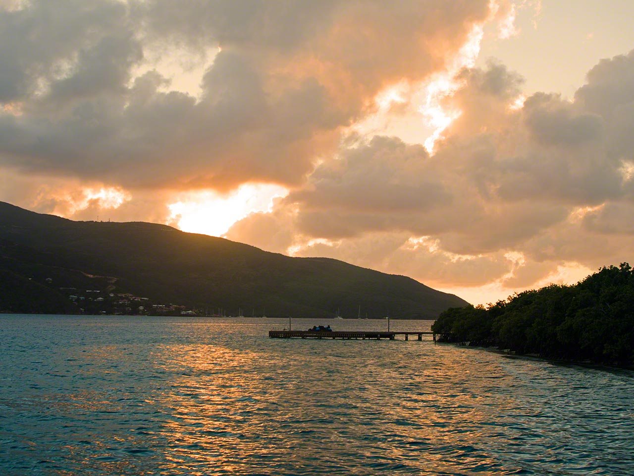 | 2602.1 |
| 2013/02/14 | 18.32°N 64.62°W | The Bight, Norman Island, BVI | 10:00 | 13:30 | 12.5 | A comfortable sail split between a downwind leg and then beating up the Sir Francis Drake channel. Winds were 10-15 knots and with reefed sails I had a good trip, but need to check the autopilot tacking, that seems to always put me in irons. | 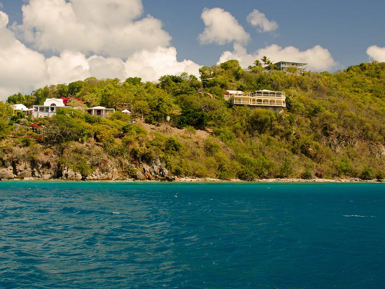 | 2574.1 |
| 2013/02/12 | 18.44°N 64.74°W | Great Harbour, Jost van Dyke, BVI | 10:30 | 11:30 | 3.4 | Another extremely short sail today, just around the island to Great Harbour. The holding isn’t good there, my first attempt had me drag the anchor, but I anchored in shallow water with plenty of scope the second time, but it was a long trip to the dock from way out there. | 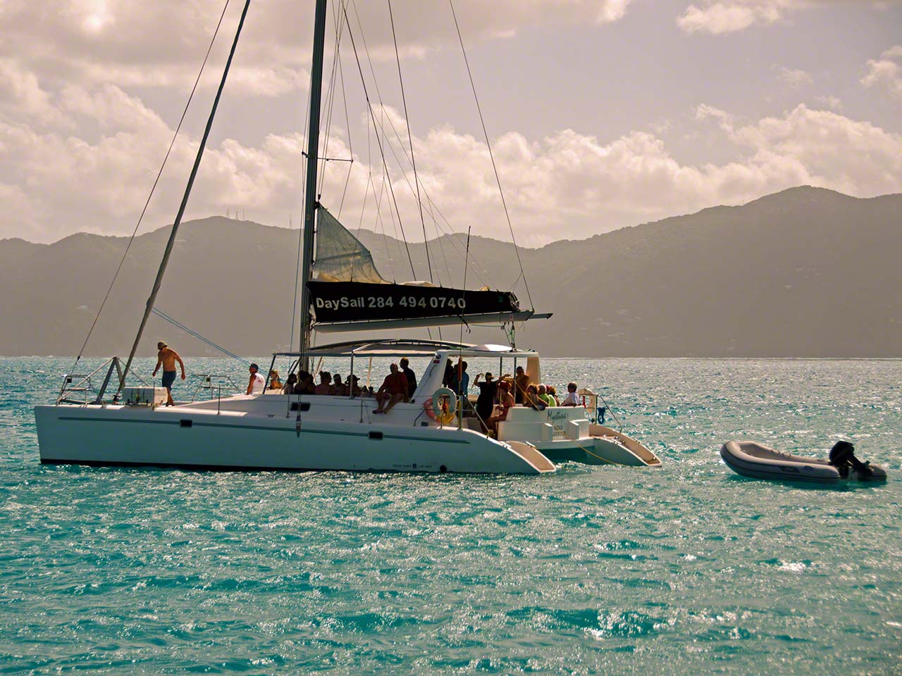 | 2561.6 |
| 2013/02/11 | 18.45°N 64.72°W | Diamond Cay, Jost van Dyke, BVI | 09:30 | 10:00 | 4.0 | Today’s sail was short and almost a straight line. From the rolly waters of Cane Garden Bay to the protected anchorage off Diamond Cay / Long Bay was just a quick downwind dash, I’d planned on stopping at Sandy Spit but the north swell had already set in and made that untenable. | 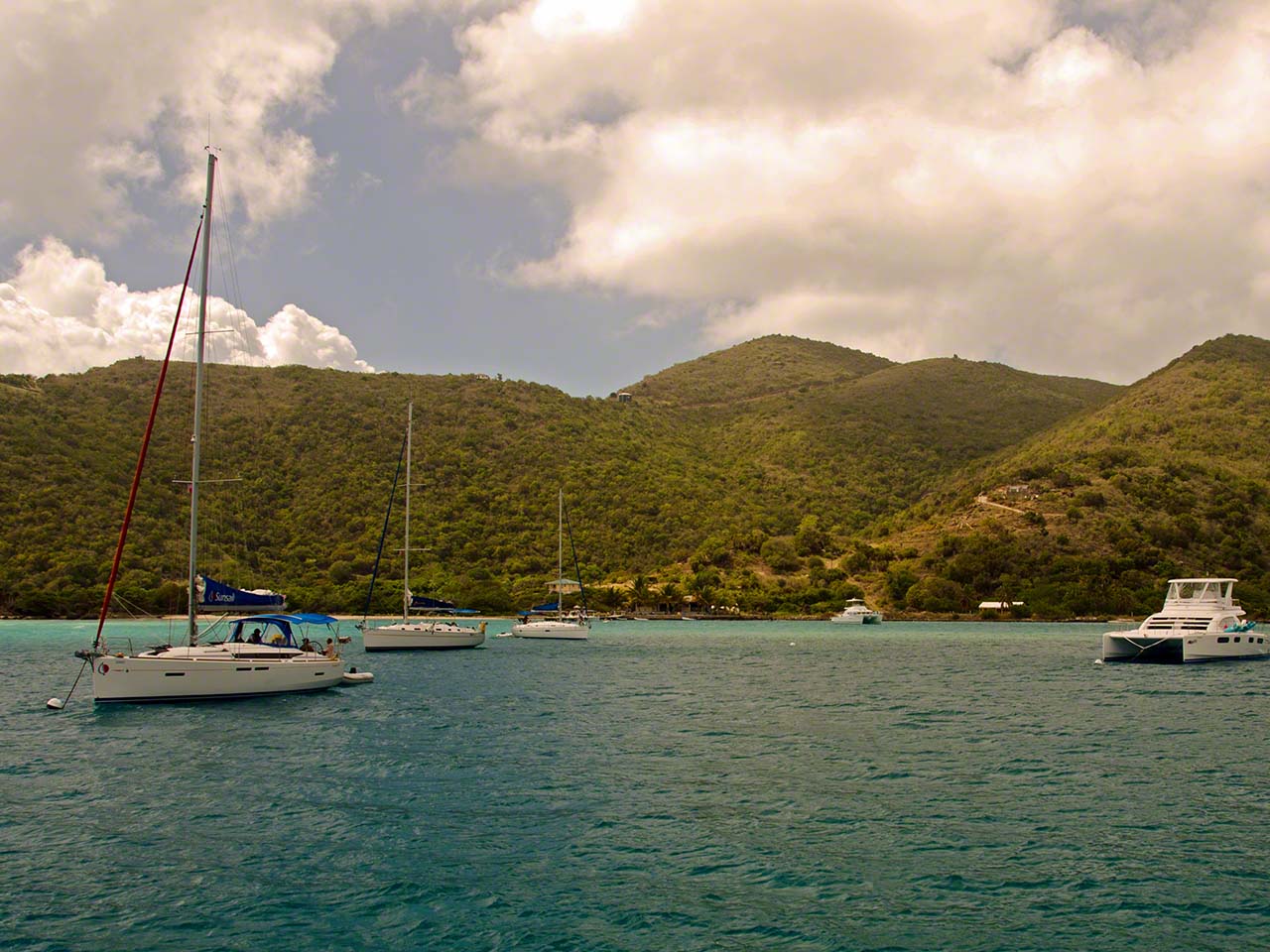 | 2558.2 |
| 2013/02/10 | 18.42°N 64.65°W | Cane Garden Bay, Tortola, BVI | 10:30 | 17:30 | 15.9 | This was a fun day sail with Sheila, Paul and Malcolm where we head under just full genoa to Sandy Cay, thence to Diamond Point and then along Jost van Dyke to White Bay and from there under both sails (1 and 2 reefs respectively for genoa and main) back to Cane Garden Bay in some good winds. | 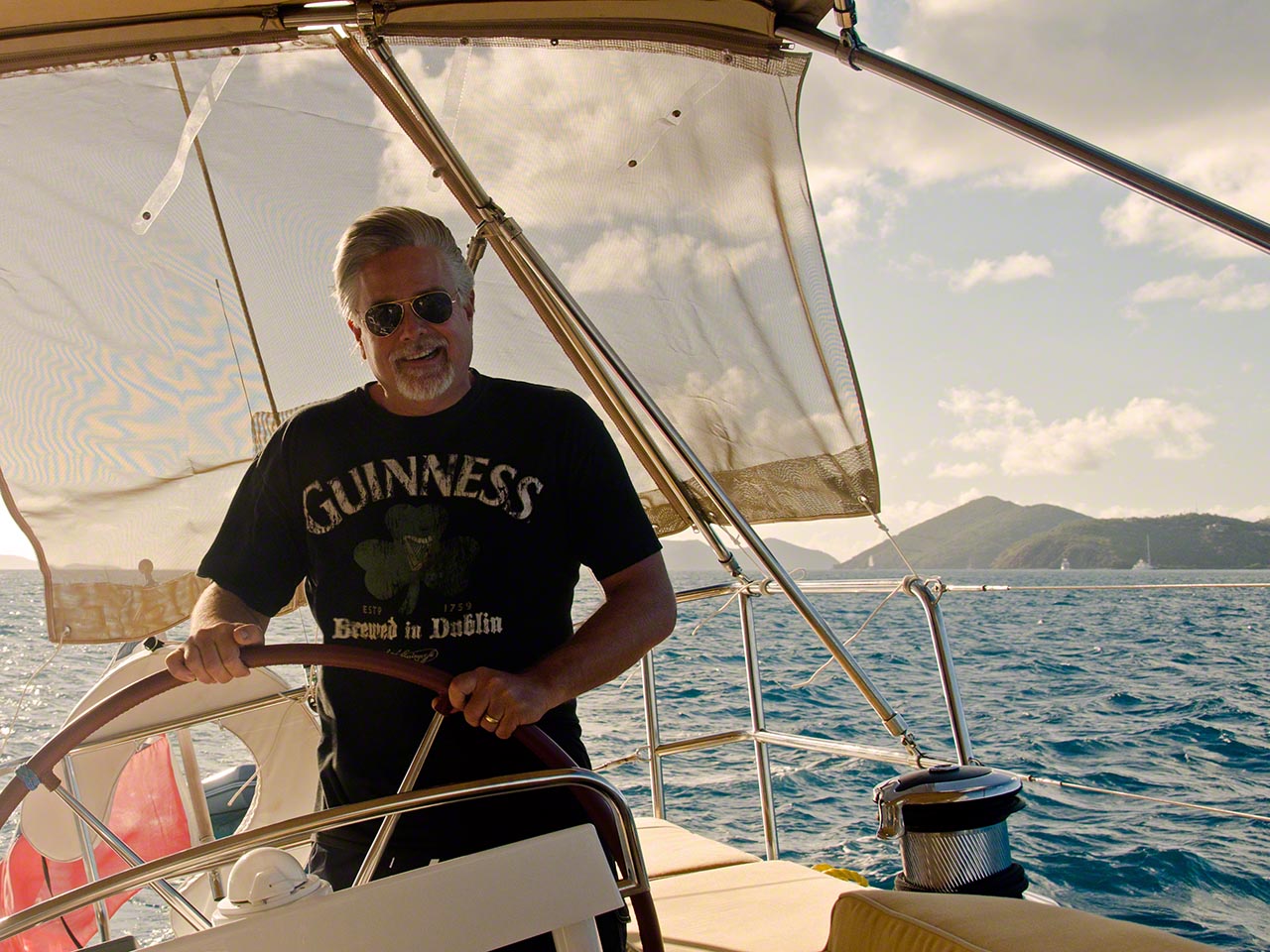 | 2554.2 |
| 2013/02/08 | 18.42°N 64.65°W | Cane Garden Bay, Tortola, BVI | 11:30 | 15:30 | 22.42 | When I departed the North Sound I was undecided as to where I was going to go, so at first I sailed between the Dog Islands heading for Trellis Bay / Marina Cay with the destination of Monkey Point, but then I opted to sail on the outside of Guana Island and make for Cane Garden Bay, as there was no chance of a north swell to ruin the calm of the anchorage. | 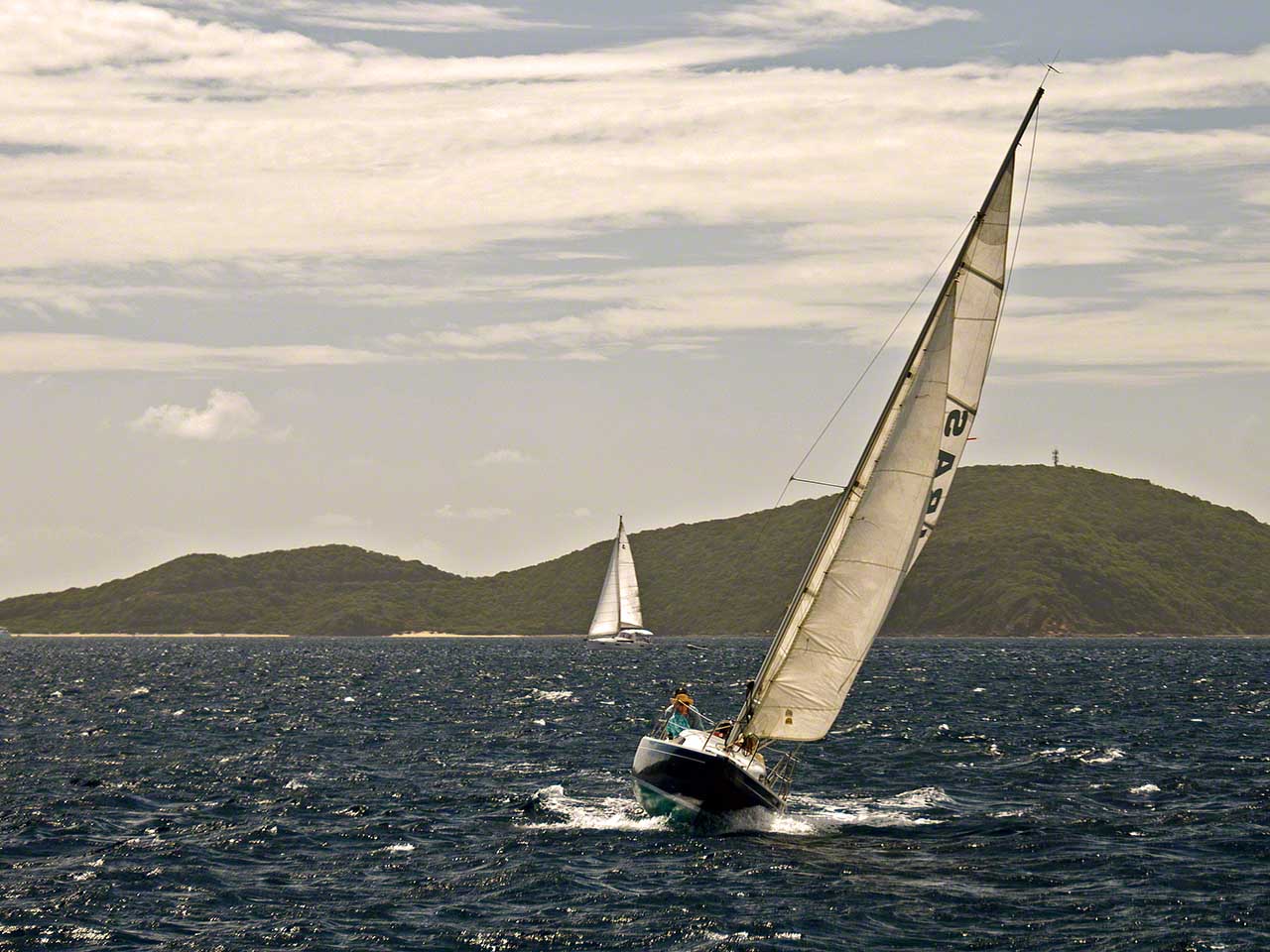 | 2538.3 |
| 2013/02/07 | 18.51°N 64.36°W | Leverick Bay, Virgin Gorda, BVI | 12:00 | 12:30 | 1.3 | The same trip as the day before, just in reverse. | 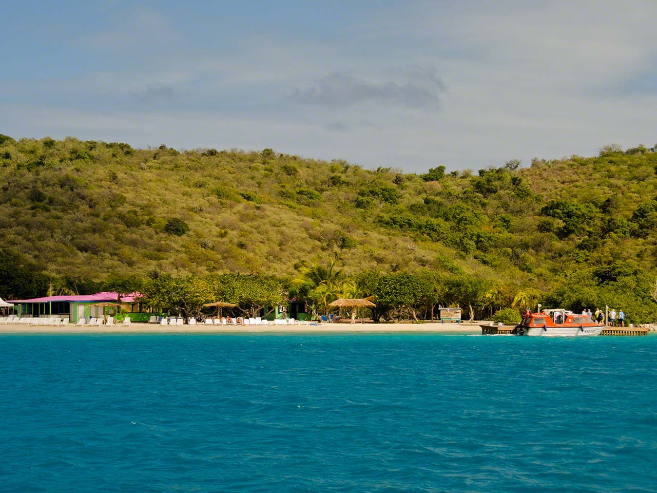 The Sandbox on Prickly Pear | 2515.9 |
| 2013/02/06 | 18.50°N 64.38°W | Leverick Bay, Virgin Gorda, BVI | 11:00 | 11:30 | 1.3 | Although it hardly counts as a sail with weighing anchor and later re-anchoring taking almost as long as the sail itself, those little miles add up and need to be in the logbook for the sake of completeness. | 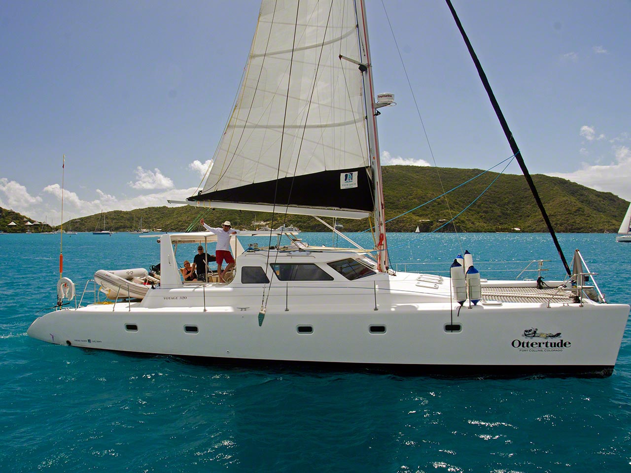 Saildoggie on Ottertude | 2514.6 |
| 2013/02/04 | 18.51°N 64.36°W | Prickly Pear Island, BVI | 10:00 | 16:00 | 37.8 | I decided to head up to the North Sound for a long and comfortable sail as the winds were light, at least initially. After bumbling along in the Sir Francis Drake Passage with reefs in both sails I let the genoa out and tacked upwind with speeds between 5 knots and 9 knot, depending upon the wind. An exhilarating sail that showed how Zanshin with her long waterline can be a fast passage maker. | 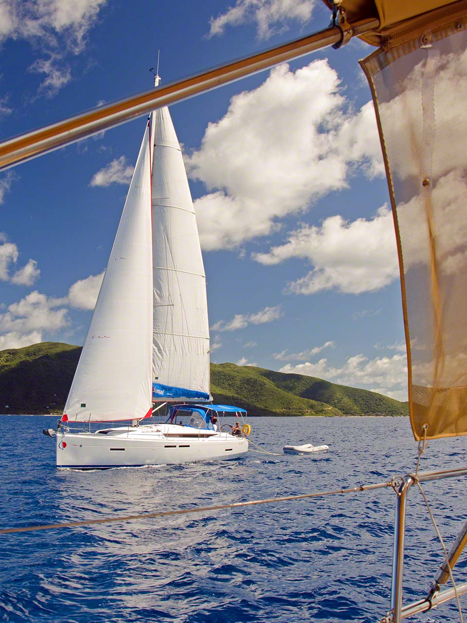 Passing a Sunsail yacht | 2513.3 |
| 2013/02/03 | 18.32°N 64.62°W | The Bight, Norman Island BVI | 13:00 | 14:00 | 5.0 | This was my first sail and I was worried about getting of the dock in the crosswind with little room to turn before hitting the brand new dock at Nanny Cay, but with help from a dockhand and the bow thruster it worked out well. The quick sail with wind from slightly ahead of the beam was easy and I soon anchored in 30 feet of water in the Bight. | 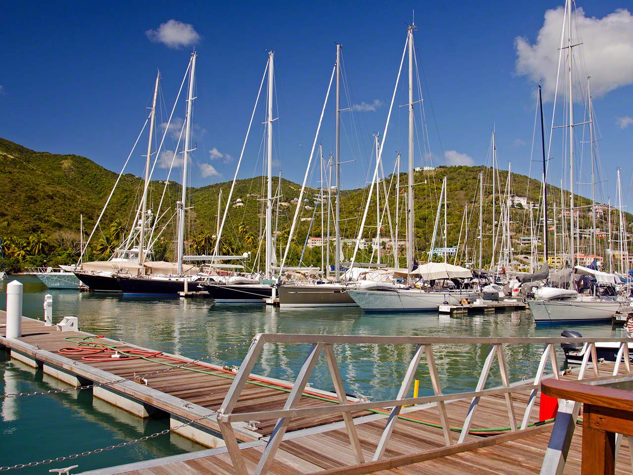 | 2475.5 |
| 2012/03/23 | 18.40°N 64.63°W | Nanny Cay, Tortola BVI | 12:00 | 12:00 | 19.1 | 2469.5 | ||
| 2012/03/22 | 18.50°N 64.39°W | Leverick Bay, Virgin Gorda BVI | 12:00 | 12:00 | 87.6 | 2450.4 | ||
| 2012/03/15 | 18.11°N 63.06°W | Grand Case, St. Martin FWI | 12:00 | 12:00 | 37.1 | 2326.8 | ||
| 2012/03/13 | 38.19°N 76.23°W | Grand Case, St. Martin FWI | 12:00 | 12:00 | 5.2 | 2325.7 | ||
| 2012/03/12 | 18.12N 62.99°W | Île Tintamarre, St. Martin FWI | 12:00 | 12:00 | 5.2 | 2320.5 | ||
| 2012/03/07 | 38.19°N 76.23°W | Grand Case, St. Martin FWI | 12:00 | 12:00 | 18.0 | 2315.3 | ||
| 2012/03/06 | 17.96°N 62.91°W | Île Fourchue, St. Barths | 12:00 | 12:00 | 3.3 | 2297.3 | ||
| 2012/03/05 | 17.93°N 62.87°W | Anse Colombier, St. Barths | 12:00 | 12:00 | 26.0 | 2294.0 | ||
| 2012/03/04 | 18.11°N 63.06°W | Grand Case, St. Martin FWI | 12:00 | 12:00 | 10.4 | 2268.0 | ||
| 2012/02/25 | 18.11°N 63.06°W | Grand Case, St. Martin FWI | 12:00 | 12:00 | 16 | Via a bit of Anguilla | 2257.6 | |
| 2012/02/22 | 18.04°N 63.09°W | Simpson Baie, Sint Martin | 12:00 | 12:00 | 12.1 | 2241.6 | ||
| 2012/02/19 | 18.11°N 63.06°W | Grand Case, St. Martin FWI | 12:00 | 12:00 | 16.7 | 2229.5 | ||
| 2012/02/17 | 17.96°N 62.91°W | Île Fourchue, St. Barths | 12:00 | 12:00 | 11.8 | 2212.8 | ||
| 2012/02/16 | 18.12°N 62.99°W | Île Tintamarre, FWI | 12:00 | 12:00 | 5.3 | 2201.0 | ||
| 2012/02/12 | 18.11°N 63.06°W | Grand Case, St. Martin FWI | 12:00 | 12:00 | 10.5 | Sail to Tintamarre again | 2195.7 | |
| 2012/02/06 | 18.11°N 63.06°W | Grand Case, St. Martin FWI | 12:00 | 12:00 | 10.5 | Sail to Tintamarre and back | 2185.2 | |
| 2012/02/02 | 18.11°N 63.06°W | Grand Case, St. Martin FWI | 12:00 | 12:00 | 4 | 2174.7 | ||
| 2012/01/25 | 18.07°N 63.09°W | Marigot, St. Martin FWI | 12:00 | 12:00 | 18.7 | Including long sail to Anguilla | 2170.7 | |
| 2012/01/24 | 18.11°N 63.09°W | Grand Case, St. Martin FWI | 12:00 | 12:00 | 33.2 | 2152.0 | ||
| 2012/01/23 | 17.93°N 62.87°W | Anse Colombier, St. Barths | 12:00 | 12:00 | 20.6 | Sail around St. Barths | 2118.8 | |
| 2012/01/22 | 17.93°N 62.87°W | Anse Colombier, St. Barths | 12:00 | 12:00 | 8.9 | 2098.2 | ||
| 2012/01/21 | 17.96°N 62.91°W | Île Fourchue, St. Barths | 12:00 | 12:00 | 16.7 | 2089.3 | ||
| 2012/01/20 | 18.11°N 63.06°W | Grand Case, St. Martin FWI | 12:00 | 12:00 | 15.9 | Sail to Tintamarre and back | 2072.6 | |
| 2012/01/19 | 18.11°N 63.06°W | Grand Case, St. Martin FWI | 12:00 | 12:00 | 4 | 2056.7 | ||
| 2012/01/16 | 18.07°N 63.09°W | Marigot, St. Martin FWI | 12:00 | 12:00 | 87.7 | 2052.7 | ||
| 2012/01/15 | 18.51°N 64.37°W | Prickly Pear, BVI | 12:00 | 12:00 | 26.4 | 1965.0 | ||
| 2012/01/14 | 18.32°N 64.62°W | The Bight, Norman Island BVI | 12:00 | 12:00 | 13.9 | 1938.6 | ||
| 2012/01/13 | 18.45°N 64.53°W | Trellis Bay, Beef Island BVI | 12:00 | 12:00 | 11.5 | 1924.7 | ||
| 2012/01/10 | 18.50°N 64.37°W | North Sound, Virgin Gorda BVI | 12:00 | 12:00 | 92.6 | 1913.2 | ||
| 2012/01/09 | 18.07°N 63.09°W | Marigot, St. Martin FWI | 12:00 | 12:00 | 4.3 | 1820.6 | ||
| 2012/01/08 | 18.11°N 63.06°W | Grand Case, St. Martin FWI | 12:00 | 12:00 | 4.3 | 1816.3 | ||
| 2012/01/05 | 18.07°N 63.09°W | Marigot, St. Martin FWI | 12:00 | 12:00 | 100.9 | 1812.0 | ||
| 2012/01/04 | 18.50°N 64.39°W | Leverick Bay, Virgin Gorda BVI | 12:00 | 12:00 | 27.3 | 1711.1 | ||
| 2012/01/03 | 18.39°N 64.63°W | Nanny Cay, Tortola BVI | 12:00 | 12:00 | 5.3 | 1683.8 | ||
| 2012/01/02 | 18.31°N 64.61°W | The Bight, Norman Island BVI | 12:00 | 12:00 | 15.0 | 1678.5 | ||
| 2012/01/01 | 18.44°N 64.75°W | Great Harbour, JVD BVI | 12:00 | 12:00 | 27.6 | 1663.5 | ||
| 2011/12/27 | 18.50°N 64.37°W | Saba Rock, BVI | 10:00 | 16:00 | 14.8 | Including trip to Spanish Town in order to clear customs | 1635.9 | |
| 2011/12/26 | 18.50°N 64.37°W | Prickly Pear, BVI | 00:00 | 12:00 | 78.5 | Passage to the BVI | 1621.1 | |
| 2011/12/15 | 18.07°N 63.09°W | Marigot, St. Martin, FWI | 00:00 | 13:0 | 171.3 | Arrival after a windy and stormy passage | 1542.6 | |
| 2011/12/14 | At Sea | 00:00 | 23:59 | 171.3 | On Passage | 1371.3 | ||
| 2011/12/13 | At Sea | 00:00 | 23:59 | 171.3 | On Passage | 1200.0 | ||
| 2011/12/12 | At Sea | 00:00 | 23:59 | 171.3 | On Passage | 1028.7 | ||
| 2011/12/11 | At Sea | 00:00 | 23:59 | 171.3 | On Passage | 0857.4 | ||
| 2011/12/10 | At Sea | 00:00 | 23:59 | 171.3 | On Passage | 0686.1 | ||
| 2011/12/09 | At Sea | 00:00 | 23:59 | 171.3 | On Passage | 0514.8 | ||
| 2011/12/08 | 36.84°N 76.29°W | At Sea | 07:00 | 23:50 | 171.3 | Crossing the Gulf Stream | 0343.5 | |
| 2011/12/04 | 37.62°N 76.36°W | Waterside Marina, Norfolk, VA | 07:00 | 18:00 | 57.9 | Another day of motor sailing along the Chesapeake but the entrance to Norfolk was impressive, passing the Naval Shipyards to starboard. | 0172.2 | |
| 2011/12/03 | 38.32°N 76.45°W | Fishing Point, VA | 07:30 | 18:00 | 59.3 | With light winds we motorsailed or merely motored most of the way. | 0114.3 | |
| 2011/12/02 | 38.19°N 76.23°W | Solomon’s Point, Maryland, USA | 11:00 | 17:30 | 55 | This was our first trip on the new boat, from the Annapolis docks down the Chesapeake to Solomon’s Island. The wind was weak to nonexistent so we ended up motoring at 1600-2000RPM all day and made it into the area at dusk and anchored in what might be the channel at about 17:30. The day wasn’t challenging apart from running aground at slow speed while exiting Annapolis and dodging numerous traps and trawling fishing boats in the Chesapeake on the trip down. It was certainly cold, though. | 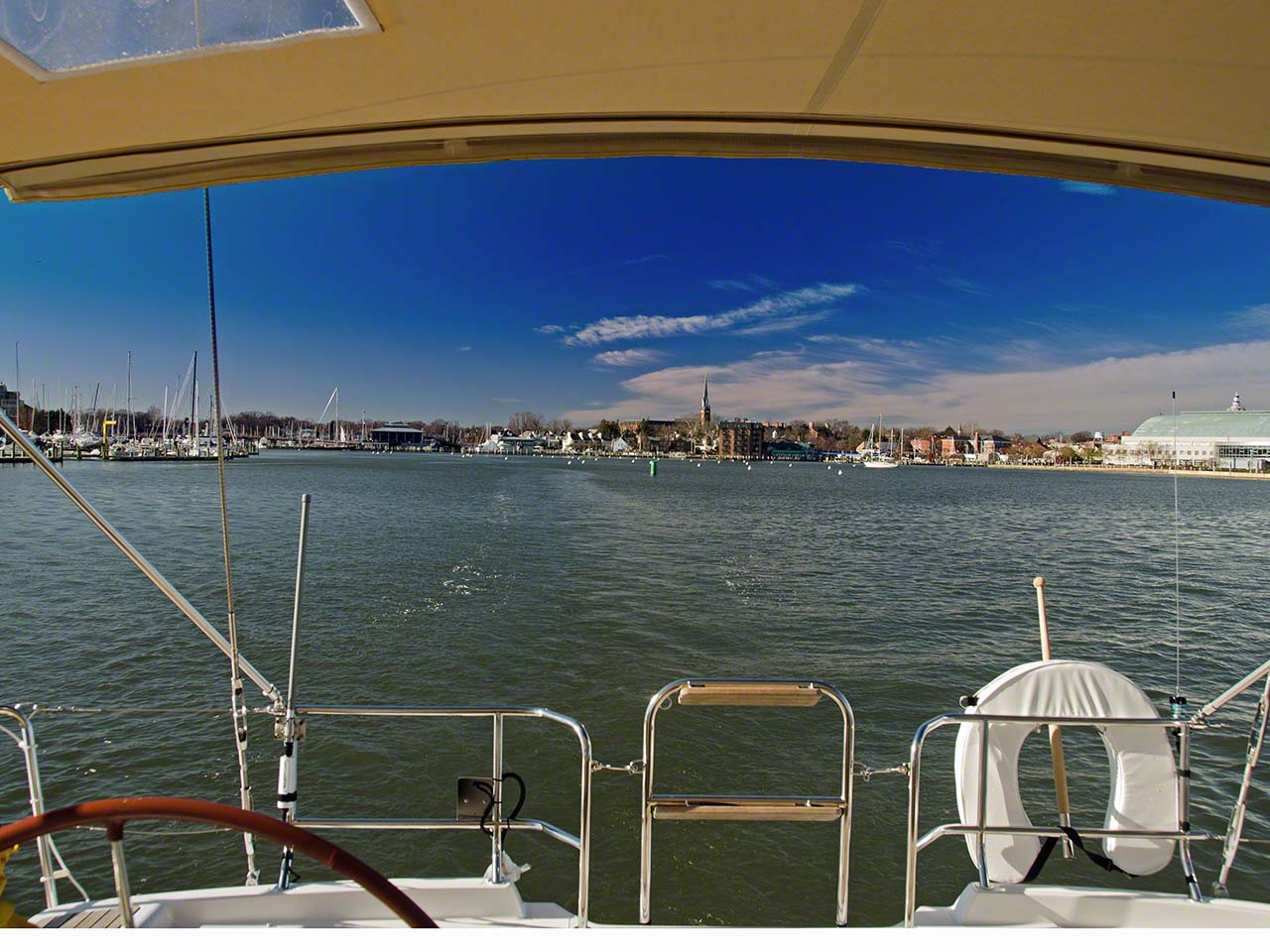 | 0065.0 |
| 2011/11/30 | 38.97°N 76.48°W | Annapolis, Maryland, USA | 10:00 | 12:00 | 10 | This was our first sail on the new boat. The wind was pressing us onto the dock and the pylons are just a few feet further apart than the hull is long, so getting off the dock and back on was a challenge. There were 5 of us aboard so it went without too many bumps, bangs and dents but this is certainly a big boat. With 10-15 knots of true wind we set sails, reefed, ran different wind angles and also hove to and Zanshin handled very well and was quite fast. | 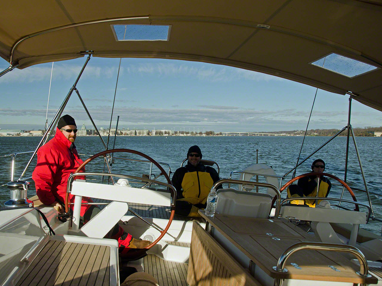 | 0010.0 |

