
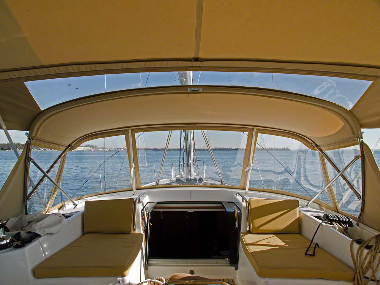
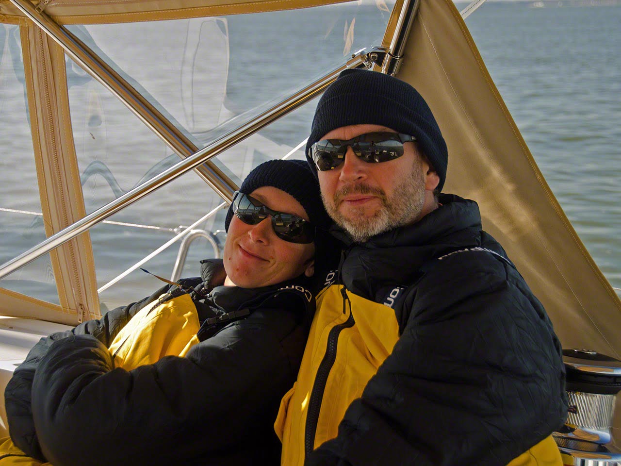
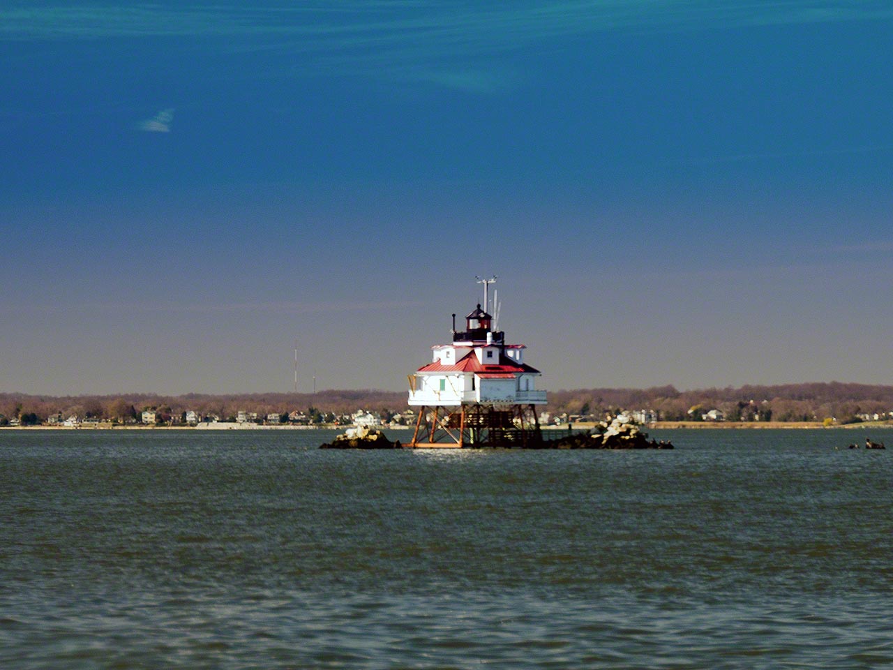
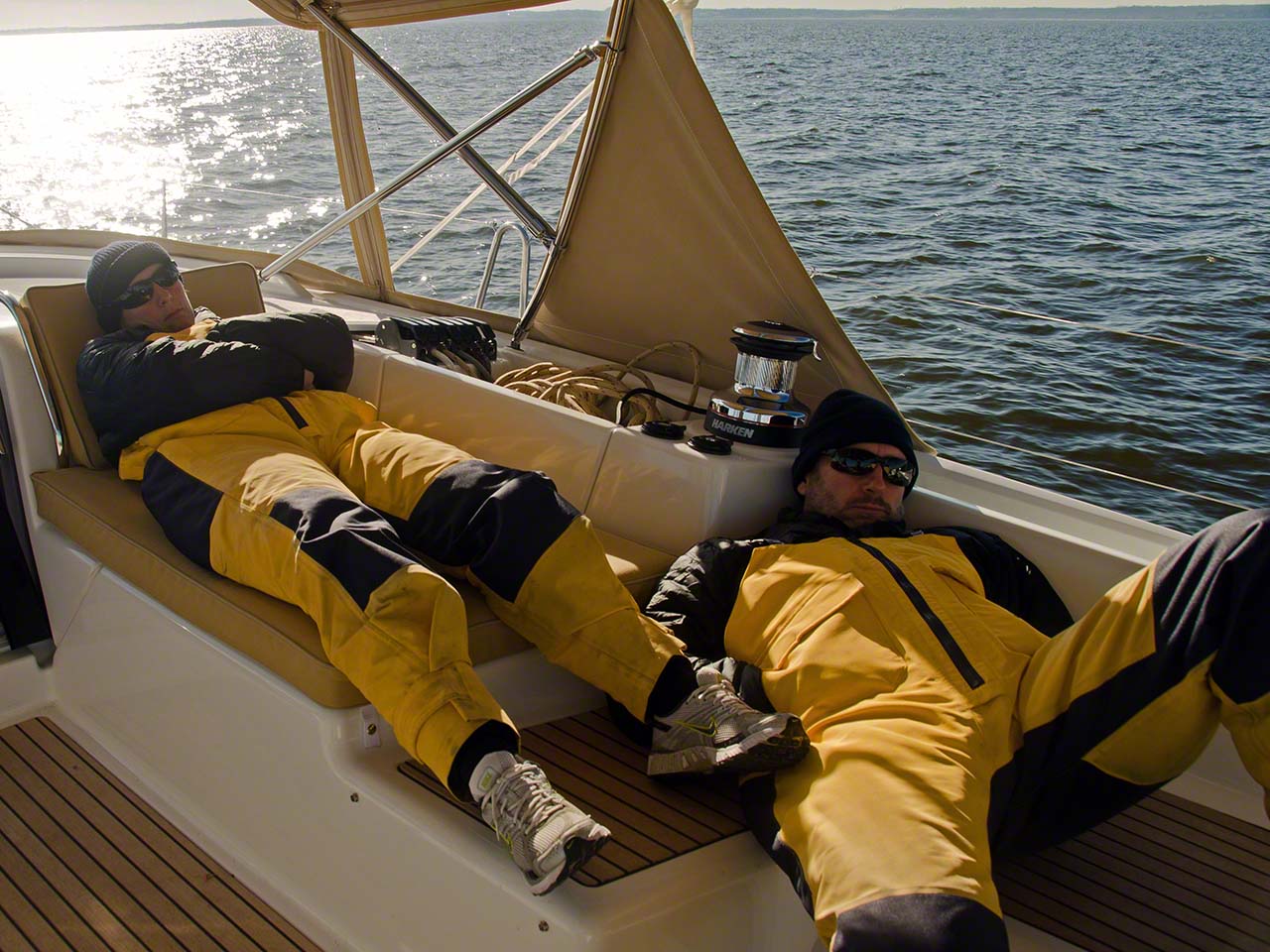
Today was the first real sail on Zanshin, departing Annapolis in the morning and heading down the Chesapeake to Solomon’s Island to anchor. I had purchased the plotter map for the Caribbean and not for the Chesapeake, we have maps and a program called OpenCPN for that but didn’t use them to depart Annapolis as we’d already done a day sail. We headed to the centre of the outlet and planned on passing the first mark on the wrong side and the water shoaled quickly. Although we put the boat in neutral to slow down we did hit the soft bottom at about 2 knots. All that within 10 minutes of departing! Judicious use of reverse got us off and then we booted up OpenCPN to discover that we’d tried to go through an area that was only 1.5 feet deep with our 8 ½ keel. After that we spent the day dodging fishing boat with trawls and the occasional lobster pot and made it into Solomon’s Point just after dusk for a quiet and windless night at anchor.
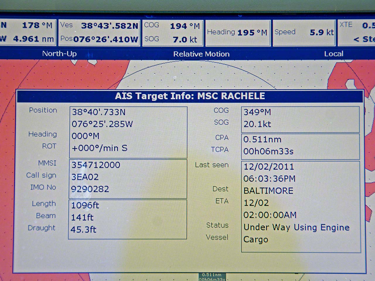
 |  |  |  |
 |  |  |  |